Waterfalls near Greer, SC
148 named waterfalls within 30 miles of Greer, closest first. Distances are straight-line from the town center.
Visits with route details
Read the walking route, starting point and current access notes.
- Rock Quarry FallsCity garden falls reached by stone steps from a small pull-offGreenville County, SC
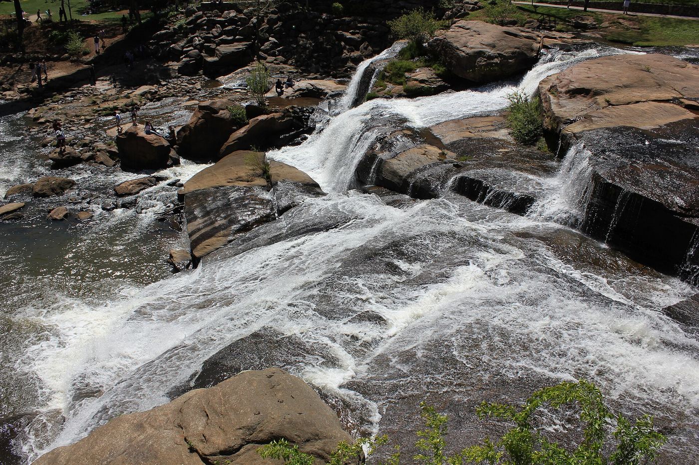
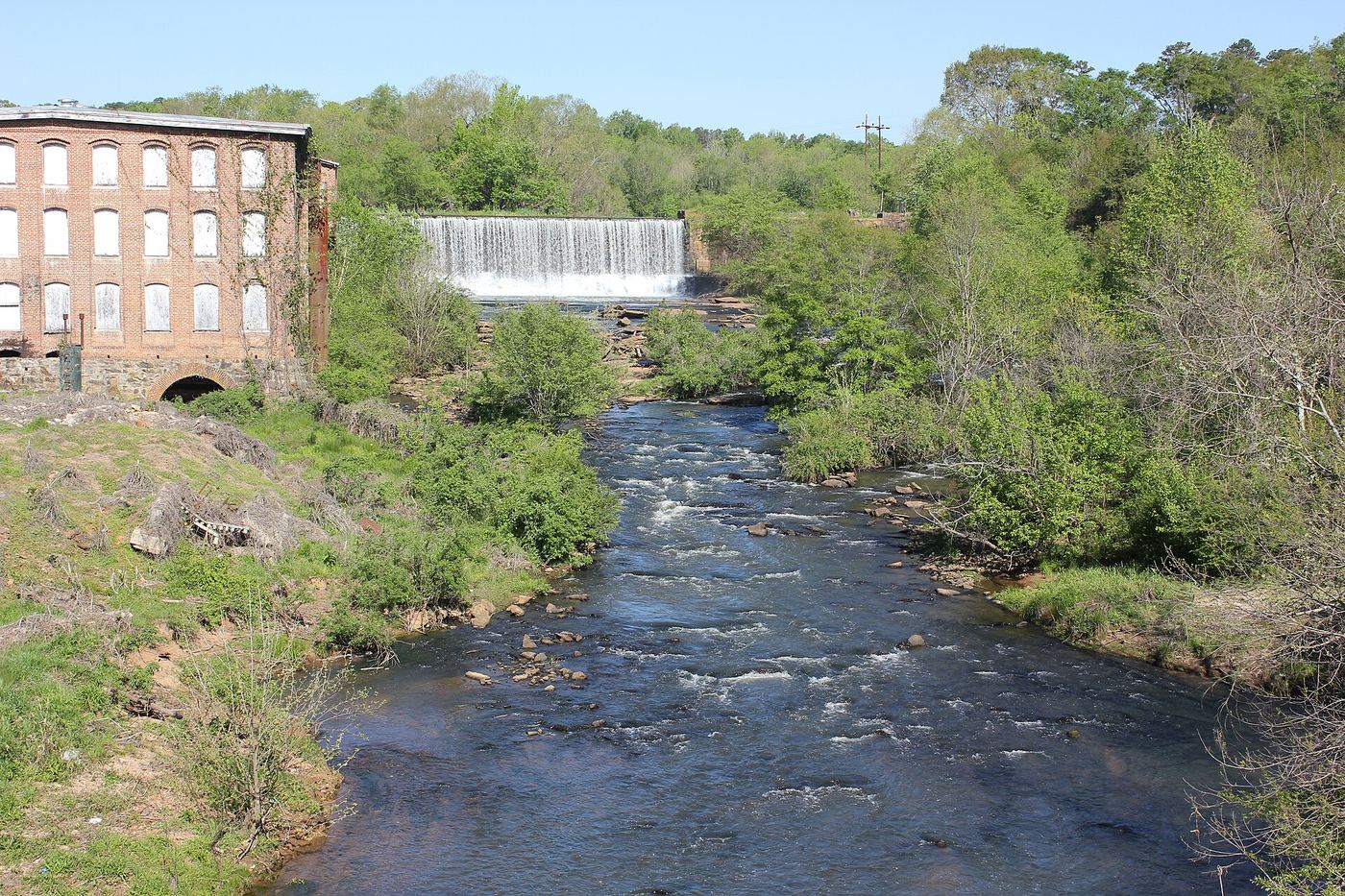
 Reedy River FallsResearched visit notes28 ft (8.5 m) · Greenville County, SC
- Arboretum FallsCity park paths to the falls documentedGreenville County, SC
- Moonshiners FallsPartial guide: beyond the end of the official trail; river crossing and short scrambleGreenville County, SC
- Lower Cave FallsPartial guide: beyond the end of the official trail; scramble path up a side streamGreenville County, SC
- Upper Cave FallsPartial guide: beyond the end of the official trail; steep bushwhack above Cave FallsGreenville County, SC
- Blue Wall FallsPartial guide: preserve trail to a waterfall view; exact match to this listing not confirmedGreenville County, SC
- Pleasant Ridge FallsCounty park nature trail to the falls documentedGreenville County, SC
- Sillers FallsShort path on a town greenwayPolk County, NC
- Melrose FallsPartial guide: open trail, but road access affected by the US 176 closurePolk County, NC
 Pearson's FallsAdvance reservation required89 ft (27 m) · Polk County, NC
- Little Bradley FallsPolk Trails marks the trail open; creek crossings required.49 ft (15 m) · Polk County, NC
- Falls Creek FallsMountain Bridge Wilderness trail from the Falls Creek trailheadGreenville County, SC
- Upper Falls Creek FallsPartial guide: upper-section identity and final side path not confirmedGreenville County, SC
- Ashmore FallsPreserve trail to a distant view from the Lake Wattacoo damGreenville County, SC
- Bell Park FallsCounty park trail and stairs to an observation deckHenderson County, NC
- Lower Wildcat FallsRoadside falls at a state park service waysideGreenville County, SC
- Middle Wildcat FallsRoadside state wayside with stone steps beside the fallsGreenville County, SC
- Big Bradley FallsWritten approval required; trail organization reports Helene closure75 ft (23 m) · Polk County, NC
- Upper Wildcat FallsPartial guide: view only; the path onto the upper falls is closed and the exact closure point is not describedGreenville County, SC
- Shunkawauken FallsPrivate property; roadside view only148 ft (45 m) · Polk County, NC
- Last Falls on SlickumPartial guide: highway-shoulder parking and an unmarked informal pathPickens County, SC
- Sweet Thing On SlickumPartial guide: highway-shoulder parking and an unmarked informal pathGreenville County, SC
- Fungi FallsPartial guide: permission to walk the gated road past private land is unconfirmed; no trail; post-storm status unknownPolk County, NC
- Fishtop FallsPartial: short game land path; access road status after Helene unconfirmedPolk County, NC
- Oil Camp FallsPartial guide: gated old road; land manager and exact drop not confirmedGreenville County, SC
- Rocky Branch FallsPartial guide: distant view only; exact listing match probableGreenville County, SC
- Eastern Stream FallsState park trail route and trailhead documented; small parking areaGreenville County, SC
- Heritage FallsHeritage preserve loop trail to the top of the fallsGreenville County, SC
- Hospital Rock FallsState park trail from the Jones Gap State Park office areaGreenville County, SC
- Marilou Bradley FallsPartial: pre-Helene route; access road under repairPolk County, NC
- Stairstep FallsGame land trails with a creek crossing and steep scramblePolk County, NC
- Milton Bradley FallsPartial: access road closed after Helene; route documented before the stormPolk County, NC
- Sunshine FallsGame land trail and extremely steep roped path to the riverPolk County, NC
- Evans FallsPartial guide: no official trail; old road and an overgrown logging gradeGreenville County, SC
- Pulliam Creek FallsPartial guide: the last stretch up Pulliam Creek and current game land access are not confirmedPolk County, NC
- Mashbox FallsPartial guide: no trail; steep off-trail descent from US 276Greenville County, SC
- Jones Gap FallsState park trail route and parking documented; admission feeGreenville County, SC
- Rainbow FallsOfficial state park trail to the base of the falls138 ft (42 m) · Greenville County, SC
- Drip Rock FallsPartial guide: roadside falls; the small pull-off is on a highway curveGreenville County, SC
- Emily FallsGame land trail; short easy walkPolk County, NC
- Ben's SluicePartial guide: the position of Ben's Sluice beyond Jones Gap Falls comes from one visitor accountGreenville County, SC
- Turtle Rock FallsPartial guide: informal route from one visitor description; parking not describedPolk County, NC
- Toll Road FallsPartial guide: position from one visitor account; exact match to this listing probableGreenville County, SC
- Upper Toll Road FallsPartial guide: no trail above Toll Road Falls; off-trail scrambleGreenville County, SC
- Firewater FallsState park trail passes the falls; trail access feeGreenville County, SC
- Confusion FallsPartial guide: camp permission needed by phone; last section is an unmarked pathGreenville County, SC
- Briefcase FallsPartial guide: bushwhack finish, hiker parking permission uncertain, storm damage unverifiedHenderson County, NC
- Cliff FallsState park trail route and parking documented; trail feeGreenville County, SC
- Case FallsPartial guide: hiker parking at the turnaround is not confirmed and post-storm conditions are unreportedHenderson County, NC
- Lower Hungry River FallsPartial guide: post-Helene route goes down a landslide; conditions last checked late 2024Henderson County, NC
- Upper Hungry River FallsRoadside view and short path on Green River Game LandHenderson County, NC
- Silver Steps FallsState park wilderness trail route and parking documentedGreenville County, SC
- Jenn's FallsPartial guide: final approach is off trail and described by one firsthand sourceTransylvania County, NC
- Wintergreen FallsState forest roads and trail from Guion FarmHenderson County, NC
 Raven Cliff FallsResearched visit notesGreenville County, SC
- Carrick Creek FallsState park trail to an observation deck near the trailheadPickens County, SC
- Green Creek FallsPartial guide: view from the Table Rock Trail; name and exact drop from one visitor accountPickens County, SC
- Bridal Veil FallsState forest roads and trail documented by two accounts; official road work noticeTransylvania County, NC
- Grassy Creek FallsPartial: state forest road walk; final turn to the falls not describedTransylvania County, NC
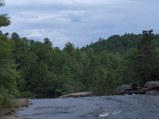 High FallsState forest trail; short walk to overlookTransylvania County, NC
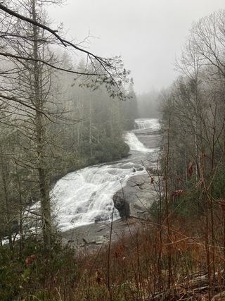 Triple FallsShort popular trail in DuPont State Recreational ForestTransylvania County, NC
- Spring Bluff FallsPartial guide: state park trail; the park trail description does not name this fallsPickens County, SC
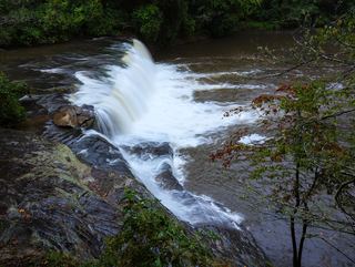 Hooker FallsShort graded trail in DuPont State Recreational ForestTransylvania County, NC
- Mill Creek FallsState park trail and spur documented; very strenuousPickens County, SC
- Yucca FallsPartial guide: off-trail bushwhack and steep scramble; parking and distance not givenPickens County, SC
- Cannon Creek FallsState forest trail; short walkTransylvania County, NC
- Merry FallsRoadside waterfall in a state forest; very limited parkingTransylvania County, NC
- Christmas FallsPartial guide: no maintained trail; faint path, bushwhack and wading in a state forestTransylvania County, NC
- Reece Place FallsState forest trail and old roads; creek crossing near the fallsTransylvania County, NC
Closest with a photo
All 148 waterfalls
- Frey Creek FallsSpartanburg County, SC10 miE
- Rock Quarry FallsCity garden falls reached by stone steps from a small pull-offGreenville County, SC11 miSW
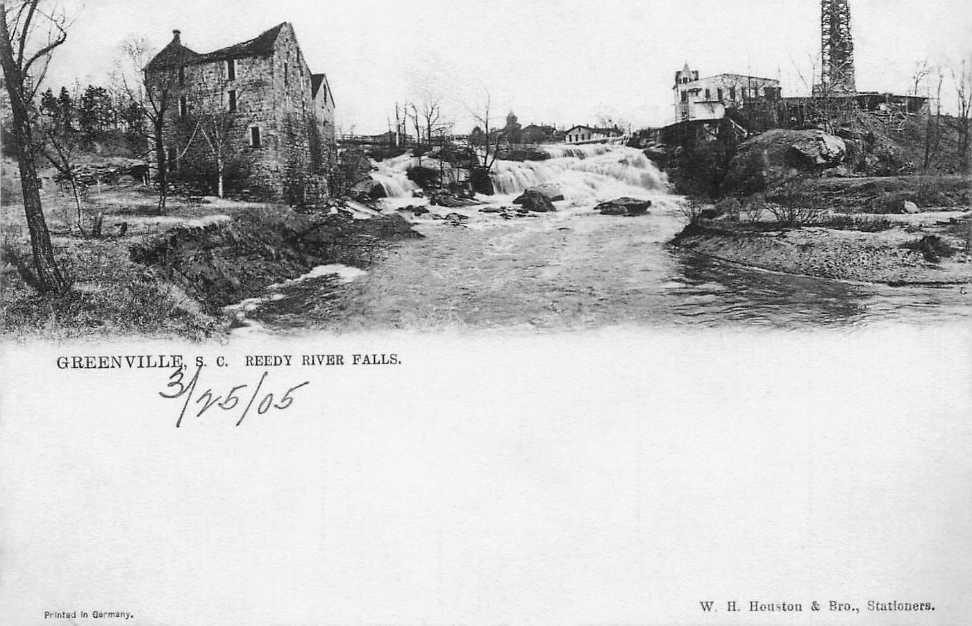
- Reedy River FallsResearched visit notes28 ft (8.5 m) · Greenville County, SC12 miSW
 Lower Reedy River FallsGreenville County, SC12 miSW
- Arboretum FallsCity park paths to the falls documentedGreenville County, SC12 miSW
 Conestee FallsGreenville County, SC13 miSW
- Moonshiners FallsPartial guide: beyond the end of the official trail; river crossing and short scrambleGreenville County, SC15 miN
- Lower Cave FallsPartial guide: beyond the end of the official trail; scramble path up a side streamGreenville County, SC15 miN
- Cave FallsGreenville County, SC15 miN
- Upper Cave FallsPartial guide: beyond the end of the official trail; steep bushwhack above Cave FallsGreenville County, SC15 miN
- Brenda FallsGreenville County, SC15 miN
- Blue Wall FallsPartial guide: preserve trail to a waterfall view; exact match to this listing not confirmedGreenville County, SC17 miN
- Pleasant Ridge FallsCounty park nature trail to the falls documentedGreenville County, SC18 miNW
- Big FallsGreenville County, SC18 miNW
- Sillers FallsShort path on a town greenwayPolk County, NC18 miN
- Big Fall Creek FallsPolk County, NC20 miN
- Upper Melrose FallsPolk County, NC20 miN
- Awanita Falls13 ft (4 m) · Greenville County, SC20 miNW
- Melrose FallsPartial guide: open trail, but road access affected by the US 176 closurePolk County, NC20 miN
- Buffalo Creek FallsSpartanburg County, SC20 miE
- Hemlock ShoalsPolk County, NC20 miN
- Pearson's FallsAdvance reservation required89 ft (27 m) · Polk County, NC20 miN
- Pacolet FallsHenderson County, NC20 miN
- Leland FallsHenderson County, NC20 miN
- Saranac Lake WaterfallSpartanburg County, SC21 miE
- Zen FallsGreenville County, SC21 miNW
- Sidewinder FallsGreenville County, SC21 miNW
- Bailey's FallsGreenville County, SC21 miNW
- Sweet Pete FallsGreenville County, SC22 miNW
- Irish FallsGreenville County, SC22 miNW
- Pinball FallsGreenville County, SC22 miNW
- Sweetest Thing FallsGreenville County, SC22 miNW
- $10,000 FallsGreenville County, SC22 miNW
- Tommy Wyche FallsGreenville County, SC22 miNW
- Hank Hill FallsGreenville County, SC22 miNW
- Little Bradley FallsPolk Trails marks the trail open; creek crossings required.49 ft (15 m) · Polk County, NC22 miN
- Lower Falls Creek FallsGreenville County, SC22 miNW
- Chute FallsGreenville County, SC22 miNW
- Falls Creek FallsMountain Bridge Wilderness trail from the Falls Creek trailheadGreenville County, SC22 miNW
- Upper Falls Creek FallsPartial guide: upper-section identity and final side path not confirmedGreenville County, SC22 miNW
- Ashmore FallsPreserve trail to a distant view from the Lake Wattacoo damGreenville County, SC22 miNW
- Bell Park FallsCounty park trail and stairs to an observation deckHenderson County, NC23 miNW
- Mossy Cove FallsGreenville County, SC23 miNW
- Lower Horse Creek FallsPolk County, NC23 miN
- Head Foremost FallsGreenville County, SC23 miNW
Show the other 103 waterfalls, 23 mi to 30 mi away
- Lower Wildcat FallsRoadside falls at a state park service waysideGreenville County, SC23 miNW
- Middle Wildcat FallsRoadside state wayside with stone steps beside the fallsGreenville County, SC23 miNW
- Shiprock FallsGreenville County, SC23 miNW
- Foremost Cove FallsGreenville County, SC23 miNW
- Polka Dot FallsGreenville County, SC23 miNW
- Big Bradley FallsWritten approval required; trail organization reports Helene closure75 ft (23 m) · Polk County, NC23 miN
- Powerhouse FallsHenderson County, NC23 miNW
- Upper Wildcat FallsPartial guide: view only; the path onto the upper falls is closed and the exact closure point is not describedGreenville County, SC23 miNW
- Wildfire FallsGreenville County, SC23 miNW
- Shunkawauken FallsPrivate property; roadside view only148 ft (45 m) · Polk County, NC23 miN
- Ghosted FallsGreenville County, SC23 miNW
- Last Falls on SlickumPartial guide: highway-shoulder parking and an unmarked informal pathPickens County, SC23 miNW
- Sweet Thing On SlickumPartial guide: highway-shoulder parking and an unmarked informal pathGreenville County, SC23 miNW
- Lower New Millennium FallsGreenville County, SC23 miNW
- Middle New Millennium FallsGreenville County, SC23 miNW
- Upper New Millennium FallsGreenville County, SC23 miNW
- Fungi FallsPartial guide: permission to walk the gated road past private land is unconfirmed; no trail; post-storm status unknownPolk County, NC23 miN
- Fishtop FallsPartial: short game land path; access road status after Helene unconfirmedPolk County, NC23 miN
- Oil Camp FallsPartial guide: gated old road; land manager and exact drop not confirmedGreenville County, SC23 miNW
- Spider Tunnel FallsPickens County, SC24 miNW
- Lower Heritage FallsGreenville County, SC24 miNW
- Rocky Branch FallsPartial guide: distant view only; exact listing match probableGreenville County, SC24 miNW
- Eastern Stream FallsState park trail route and trailhead documented; small parking areaGreenville County, SC24 miNW
- Heritage FallsHeritage preserve loop trail to the top of the fallsGreenville County, SC24 miNW
- Hospital Rock FallsState park trail from the Jones Gap State Park office areaGreenville County, SC24 miNW
- Powerline FallsGreenville County, SC24 miNW
- Loobie FallsPolk County, NC24 miN
- Rock Creek FallsHenderson County, NC24 miNW
- Bradley Cooper FallsPolk County, NC24 miN
- Cavern FallsPolk County, NC24 miN
- Marilou Bradley FallsPartial: pre-Helene route; access road under repairPolk County, NC24 miN
- Lower Cavern FallsPolk County, NC24 miN
- Stairstep FallsGame land trails with a creek crossing and steep scramblePolk County, NC24 miN
- Milton Bradley FallsPartial: access road closed after Helene; route documented before the stormPolk County, NC24 miN
- Sunshine FallsGame land trail and extremely steep roped path to the riverPolk County, NC24 miN
- Evans FallsPartial guide: no official trail; old road and an overgrown logging gradeGreenville County, SC24 miNW
- Edge of the World FallsHenderson County, NC24 miN
- Misty FallsGreenville County, SC24 miNW
- Pulliam Creek FallsPartial guide: the last stretch up Pulliam Creek and current game land access are not confirmedPolk County, NC24 miN
- Mashbox FallsPartial guide: no trail; steep off-trail descent from US 276Greenville County, SC24 miNW
- Jones Gap FallsState park trail route and parking documented; admission feeGreenville County, SC24 miNW
- Rainbow FallsOfficial state park trail to the base of the falls138 ft (42 m) · Greenville County, SC24 miNW
- Shower Bath FallsGreenville County, SC25 miNW
- Drip Rock FallsPartial guide: roadside falls; the small pull-off is on a highway curveGreenville County, SC25 miNW
- Emily FallsGame land trail; short easy walkPolk County, NC25 miN
- Ben's SluicePartial guide: the position of Ben's Sluice beyond Jones Gap Falls comes from one visitor accountGreenville County, SC25 miNW
- Adams Creek FallsPickens County, SC25 miW
- Rainy FallsPolk County, NC25 miN
- Rock Cliff FallsGreenville County, SC25 miNW
- Turtle Rock FallsPartial guide: informal route from one visitor description; parking not describedPolk County, NC25 miN
- Toll Road FallsPartial guide: position from one visitor account; exact match to this listing probableGreenville County, SC25 miNW
- Upper Toll Road FallsPartial guide: no trail above Toll Road Falls; off-trail scrambleGreenville County, SC25 miNW
- Firewater FallsState park trail passes the falls; trail access feeGreenville County, SC25 miNW
- Thunder FallsGreenville County, SC25 miNW
- Bluff FallsGreenville County, SC25 miNW
- Bear FallsGreenville County, SC25 miNW
- Confluence FallsGreenville County, SC25 miNW
- OMG FallsGreenville County, SC25 miNW
- Confusion FallsPartial guide: camp permission needed by phone; last section is an unmarked pathGreenville County, SC25 miNW
- Moonshine FallsGreenville County, SC25 miNW
- Briefcase FallsPartial guide: bushwhack finish, hiker parking permission uncertain, storm damage unverifiedHenderson County, NC25 miN
- Green Grotto FallsPolk County, NC25 miN
- Cliff FallsState park trail route and parking documented; trail feeGreenville County, SC25 miNW
- Case FallsPartial guide: hiker parking at the turnaround is not confirmed and post-storm conditions are unreportedHenderson County, NC25 miN
- Notch FallsGreenville County, SC25 miNW
- Lower Hungry River FallsPartial guide: post-Helene route goes down a landslide; conditions last checked late 2024Henderson County, NC26 miN
- Cascade FallsGreenville County, SC26 miNW
- Game Land FallsPolk County, NC26 miN
- Slab FallsHenderson County, NC26 miNW
- Upper Hungry River FallsRoadside view and short path on Green River Game LandHenderson County, NC26 miN
- Silver Steps FallsState park wilderness trail route and parking documentedGreenville County, SC26 miNW
- Secret FallsGreenville County, SC26 miNW
- Lake FallsHenderson County, NC26 miNW
- Jenn's FallsPartial guide: final approach is off trail and described by one firsthand sourceTransylvania County, NC27 miNW
- Wintergreen FallsState forest roads and trail from Guion FarmHenderson County, NC27 miNW
- Raven Cliff FallsResearched visit notesGreenville County, SC27 miNW
- Pacolet Water FallsSpartanburg County, SC27 miE
- Carrick Creek FallsState park trail to an observation deck near the trailheadPickens County, SC28 miW
- Green Creek FallsPartial guide: view from the Table Rock Trail; name and exact drop from one visitor accountPickens County, SC28 miW
- Bridal Veil FallsState forest roads and trail documented by two accounts; official road work noticeTransylvania County, NC28 miNW
- Grassy Creek FallsPartial: state forest road walk; final turn to the falls not describedTransylvania County, NC28 miNW
- High FallsState forest trail; short walk to overlookTransylvania County, NC28 miNW
- Oleta FallsHenderson County, NC28 miN
- Triple FallsShort popular trail in DuPont State Recreational ForestTransylvania County, NC28 miNW
- Slicking FallsGreenville County, SC29 miW
- Spring Bluff FallsPartial guide: state park trail; the park trail description does not name this fallsPickens County, SC29 miW
- Pinnacle Mountain FallsPickens County, SC29 miW
- Hooker FallsShort graded trail in DuPont State Recreational ForestTransylvania County, NC29 miNW
- Shoal Creek FallsHenderson County, NC29 miNW
- Mill Creek FallsState park trail and spur documented; very strenuousPickens County, SC29 miW
- Upper Rachael Creek FallsPickens County, SC29 miW
- Rachaels RacewayPickens County, SC29 miW
- Jumble FallsPickens County, SC29 miW
- Middle Rachael Creek FallsPickens County, SC29 miW
- Rachael Creek FallsPickens County, SC29 miW
- Lower Yucca FallsPickens County, SC29 miW
- Yucca FallsPartial guide: off-trail bushwhack and steep scramble; parking and distance not givenPickens County, SC29 miW
- Upper Yucca FallsPickens County, SC29 miW
- Cannon Creek FallsState forest trail; short walkTransylvania County, NC30 miNW
- Alewine FallsPickens County, SC30 miW
- Merry FallsRoadside waterfall in a state forest; very limited parkingTransylvania County, NC30 miNW
- Christmas FallsPartial guide: no maintained trail; faint path, bushwhack and wading in a state forestTransylvania County, NC30 miNW
- Reece Place FallsState forest trail and old roads; creek crossing near the fallsTransylvania County, NC30 miNW