Cannon Creek Falls
Transylvania County, North Carolina
Your visit at a glance
- Waterfall height
- Not recorded
- Location
- Transylvania County, North Carolina
- Access status
- State forest trail; short walk
- The walk
- About 0.25 miles each way
- Ground & access
- Old road, then a short descending side path. Easy to moderate.
From US 276 in Cedar Mountain, south of Brevard, turn north on Rich Mountain Road and drive 1.8 miles to a pullout on the right on the outside of a sharp left curve. This is the Wilkie Trail trailhead in DuPont State Recreational Forest. Follow Wilkie Trail on an old road for less than 0.2 miles to a side path on the right that descends to the falls. A second, more obvious side path about 130 feet farther along is a little longer but easier. The falls is a 15 foot multilevel drop on a very small stream and is best after rain.
Plan your visit
Wilkie Trail pullout on Rich Mountain Road to Cannon Creek Falls
NC Waterfalls gives a hike distance of about 0.25 miles from the pullout to the falls.
Old road, then a short descending side path. Easy to moderate.
Where to start
Roadside pullout on the right of Rich Mountain Road at the Wilkie Trail sign. Published parking coordinates: 35.17095, -82.662649.
Timing & water
Small stream. Flow is best after a good rain.
Before you go
No fee is mentioned in the source read. The land is DuPont State Recreational Forest.
Visitor informationVisit sources
More waterfalls nearby
Within 40 straight-line miles. Road and trail distances will differ.
- Merry FallsRoadside waterfall in a state forest; very limited parkingTransylvania County, NC2.2 miNE
- Christmas FallsPartial guide: no maintained trail; faint path, bushwhack and wading in a state forestTransylvania County, NC2.3 miNE
- Phillips FallsTransylvania County, NC2.4 miNW
- Bridal Veil FallsState forest roads and trail documented by two accounts; official road work noticeTransylvania County, NC2.4 miE
- Rhododendron FallsTransylvania County, NC2.5 miNW
- Maidenhair FallsTransylvania County, NC2.7 miNW
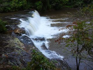 Hooker FallsShort graded trail in DuPont State Recreational ForestTransylvania County, NC3.1 miNE
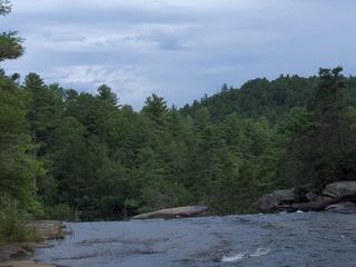 High FallsState forest trail; short walk to overlookTransylvania County, NC3.2 miNE
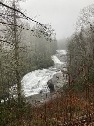 Triple FallsShort popular trail in DuPont State Recreational ForestTransylvania County, NC3.2 miNE