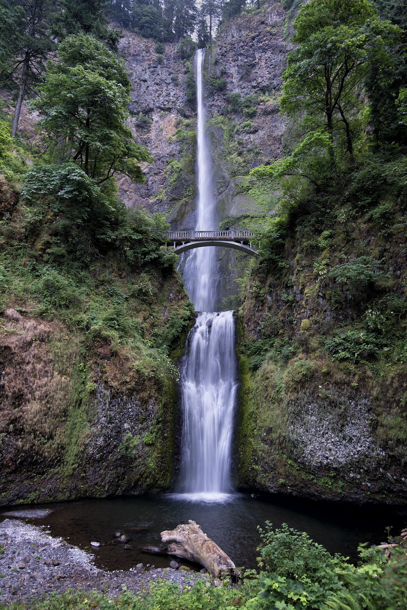
Multnomah Falls
620 ft total · Multnomah County, OR
274 named waterfalls in 29 counties. Browse mapped locations and recorded heights. A map listing does not confirm public access or a walking route.
Read the walking route, starting point and current access notes.
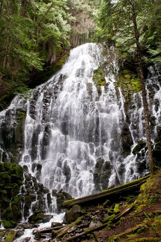 Ramona FallsResearched visit notes120 ft (36.5 m) · Clackamas County, OR
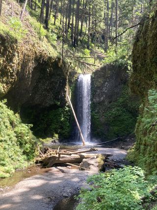 Wiesendanger FallsResearched walking route49 ft (15 m) · Multnomah County, OR
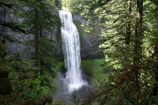 Salt Creek FallsResearched visit notes286 ft (87.2 m) · Lane County, OR
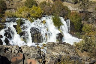 Cline FallsSource-reviewed route and parking20 ft (6.1 m) · Deschutes County, OR
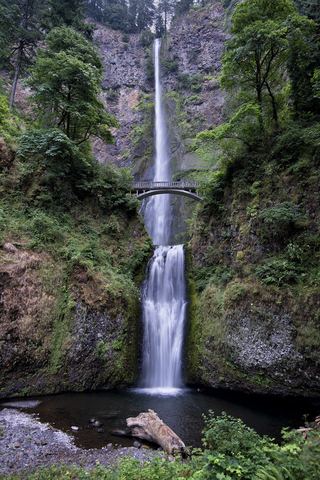 Multnomah FallsResearched visit notes620 ft total · Multnomah County, OR
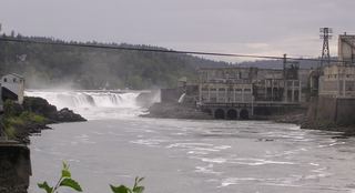 Willamette FallsPublic roadside viewpoint with parking documented39 ft (12 m) · Clackamas County, OR
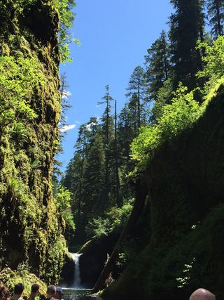 Punch Bowl FallsResearched visit notes36 ft (11 m) · Hood River County, OR
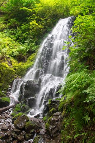 Fairy FallsResearched visit notes20 ft (6.1 m) · Multnomah County, OR
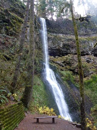 Winter FallsState park trail from a highway trailhead to the base of the falls135 ft (41 m) · Marion County, OR
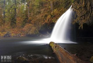 Upper Butte Creek FallsShort state forest trail to a walk-behind waterfall26 ft (8 m) · Clackamas County, OR
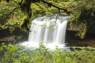 Butte Creek FallsSigned state forest trail and trailhead documented79 ft (24 m) · Clackamas County, OR
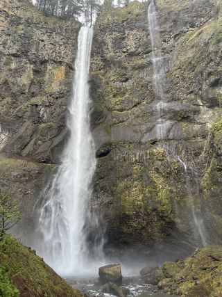 Lower Multnomah FallsPaved viewpoint walk and seasonal permits documented69 ft (21 m) · Multnomah County, OR
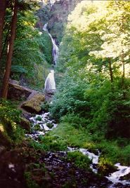 Wahkeena FallsResearched visit notes242 ft (73.7 m) · Multnomah County, OR
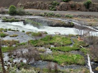 Sherar's FallsPartial guide: public viewing and parking spots on tribal land not described in detail15 ft (4.6 m) · Wasco County, OR
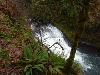 Drake FallsState park trail to a viewing deck documented26 ft (8 m) · Marion County, OR
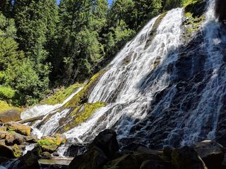 Diamond Creek FallsOfficial USFS trail and fee site documented120 ft (36.6 m) · Lane County, OR
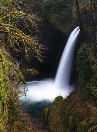 Metlako FallsCollapsed overlook; limited main-trail sighting reported102 ft (31 m) · Hood River County, OR
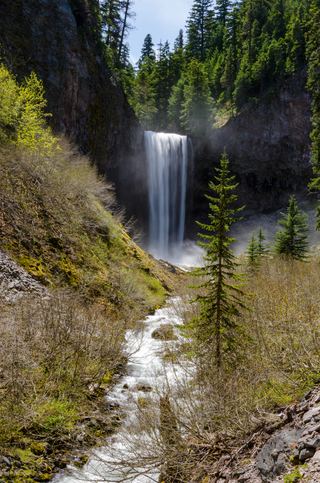 Tamanawas FallsResearched visit notes108 ft (33 m) · Hood River County, OR
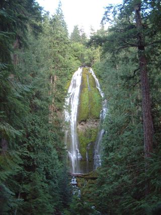 Proxy FallsSeasonal highway access226 ft (68.9 m) · Lane County, OR
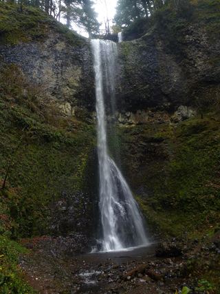 Double FallsState park trail to the base of the falls184 ft (56 m) · Marion County, OR
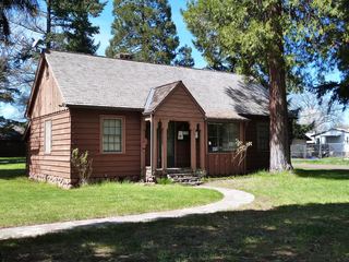 Butte FallsPartial: historical parking route documented; replacement-platform approach and current access unconfirmed15 ft (4.6 m) · Jackson County, OR
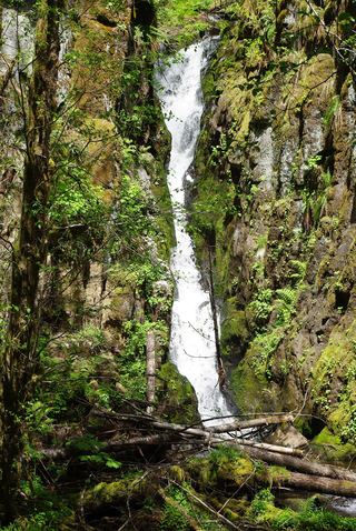 Ki-a-Kuts FallsPartial: historical off-trail route documented; current logging-road permission and access unverifiedWashington County, OR
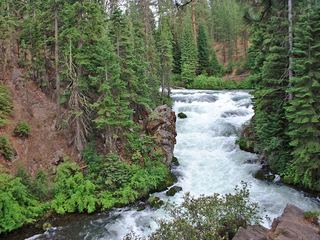 Benham FallsResearched visit notesDeschutes County, OR
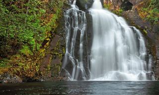 Youngs River FallsVerified parking and downhill approachClatsop County, OR
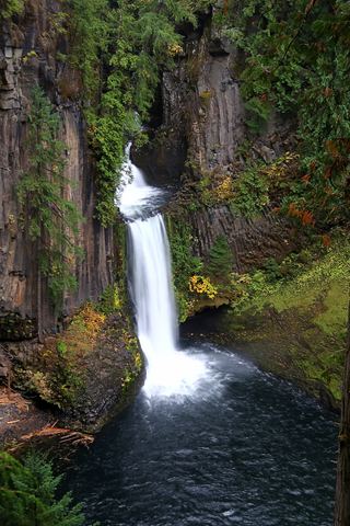 Toketee FallsResearched visit notes113 ft (34.4 m) · Douglas County, OR
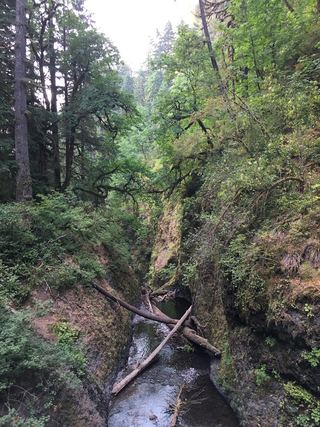 Oneonta FallsPartial guide: only a partial view of the upper falls from the trail; the gorge route to the base is closed98 ft (30 m) · Multnomah County, OR
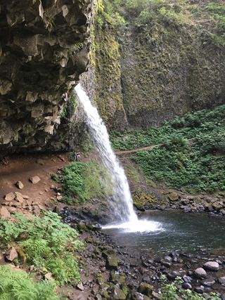 Ponytail FallsResearched visit notes88 ft (26.8 m) · Multnomah County, OR
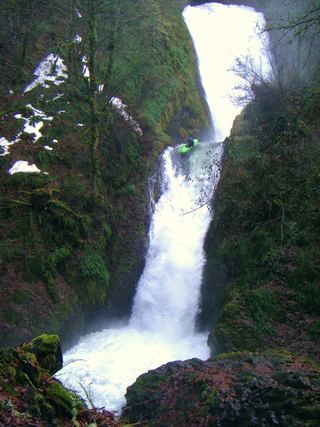 Bridal Veil FallsResearched visit notes118 ft (36 m) · Multnomah County, OR
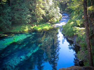 Tamolitch FallsParking and road construction restrictionsLinn County, OR
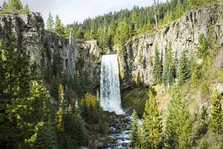 Tumalo FallsResearched visit notes89 ft (27.1 m) · Deschutes County, OR
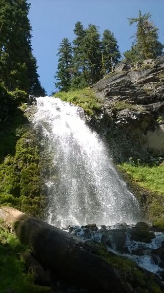 Plaikni FallsNormal road access closedKlamath County, OR
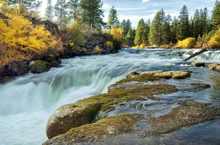 Dillon FallsResearched visit notesDeschutes County, OR
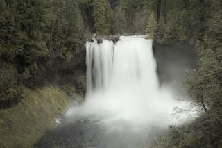 Koosah FallsResearched visit notes74 ft (22.6 m) · Linn County, OR
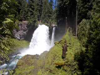 Sahalie FallsResearched visit notes73 ft (22.3 m) · Linn County, OR
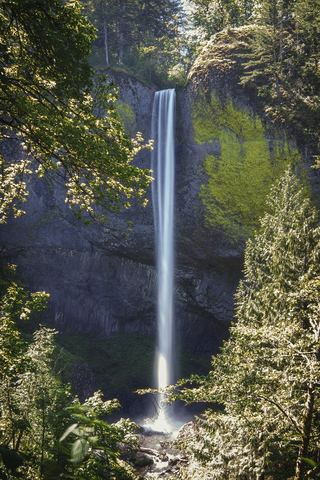 Latourell FallsResearched visit notes224 ft lower falls · Multnomah County, OR
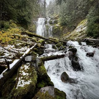 Linton FallsPartial guide: distant view from across Linton Lake; the exact viewpoint is not described and the base has no official trail600 ft (182.9 m) · Lane County, OR
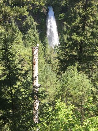 Mill Creek FallsScenic area trail to a clifftop view documented173 ft (52.7 m) · Jackson County, OR
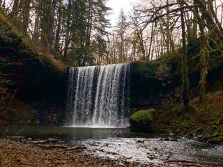 Beaver FallsShort trail and parking pullout documented233 ft (71 m) · Columbia County, OR
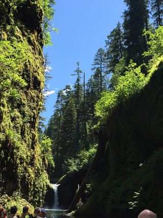 Lower Punch Bowl FallsCanyon trail and spur to the shoreline beside the falls12 ft (3.7 m) · Hood River County, OR
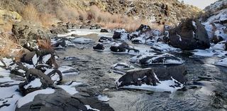 Deep Creek FallsPartial guide: roadside view; parking and land ownership for the paths to the base are not confirmedLake County, OR
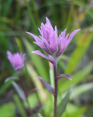 Little Illinois River FallsShort loop trail from a forest trailhead to riverside cataracts16 ft (5 m) · Josephine County, OR
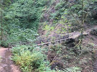 Upper Oneonta FallsPartial guide: only the top of the falls is visible from the trail; no route to the base65 ft (19.8 m) · Multnomah County, OR
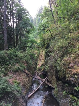 Middle Oneonta FallsGorge trail past Ponytail Falls to a footbridge view24 ft (7.3 m) · Multnomah County, OR
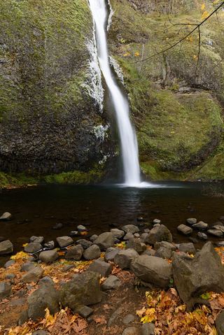 Horsetail FallsResearched walking route214 ft (65.2 m) · Multnomah County, OR
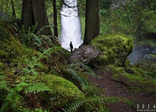 Wahclella FallsSource-reviewed route and parking127 ft (38.7 m) · Multnomah County, OR
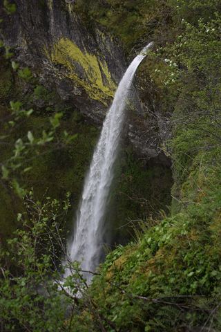 Elowah FallsEstablished trail to the base of the falls; broken footbridge at the creek213 ft (64.9 m) · Multnomah County, OR
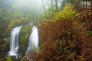 Upper McCord Creek FallsCliffside trail to a viewpoint of the falls64 ft (19.5 m) · Multnomah County, OR
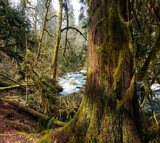 Alsea FallsShort walk and steps from the day-use area; seasonal gateBenton County, OR
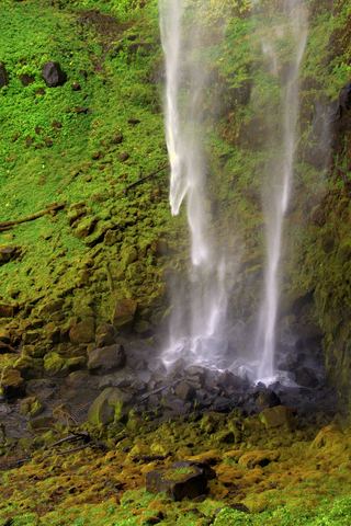 Watson FallsResearched walking route292 ft (89 m) · Douglas County, OR
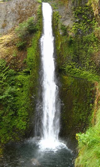 Tunnel FallsLong established cliffside trail; walk behind the falls172 ft (52.4 m) · Hood River County, OR
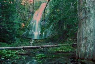 Upper Proxy FallsLoop and roadside trailhead parking documented.129 ft (39.3 m) · Lane County, OR
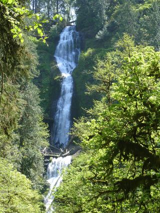 Munson Creek FallsResearched visit notes319 ft (97.2 m) · Tillamook County, OR
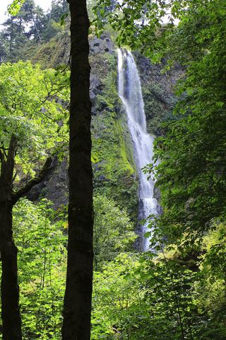 Starvation Creek FallsShort paved walk to a viewpoint documented227 ft (69.2 m) · Hood River County, OR
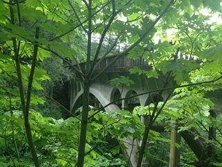 Shepperd's Dell FallsShort paved path from a roadside pullout82 ft (25 m) · Multnomah County, OR
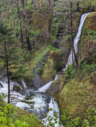 Loowit FallsEstablished cliffside trail to a viewpoint across the canyon78 ft (23.8 m) · Hood River County, OR
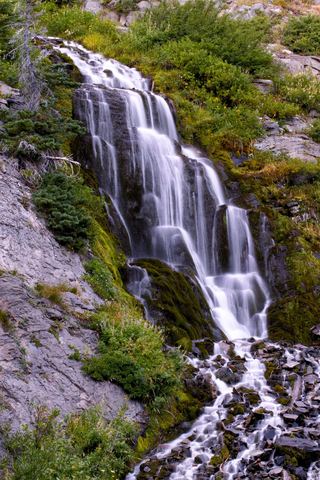 Vidae FallsPartial guide: roadside falls on East Rim Drive, which closes each winter and has a construction closure listed115 ft (35 m) · Klamath County, OR
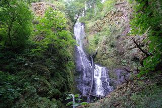 Coopey FallsTrail viewpoint above the falls; the base is on private convent land150 ft (45.7 m) · Multnomah County, OR
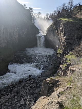 Celestial FallsState park canyon trail to the power plant viewpoint43 ft (13 m) · Wasco County, OR
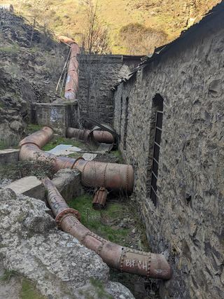 Lower White River FallsState park canyon trail and user trail to the falls20 ft (6 m) · Wasco County, OR
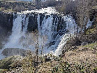 White River FallsResearched visit notesWasco County, OR
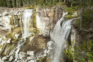 Paulina FallsResearched walking routeDeschutes County, OR
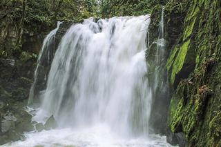 Majestic FallsCounty park stairs and viewing decks beside the parking areaLinn County, OR
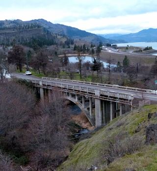 Mosier Creek FallsSigned trail to a falls overlook documentedWasco County, OR
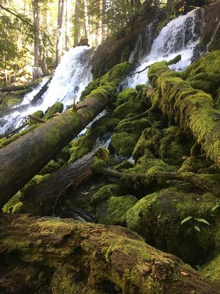 Clearwater FallsSource-reviewed route and parkingDouglas County, OR
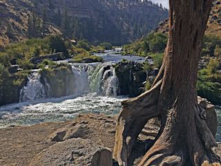 Steelhead FallsShort BLM trail into the Deschutes canyonJefferson County, OR
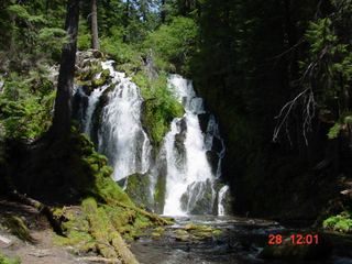 National FallsShort forest trail to the base of the fallsDouglas County, OR
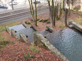 Singer FallsPartial guide: public stair route documented; parking not describedClackamas County, OR
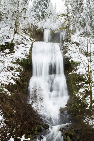 Royal Terrace FallsCounty park trail to a footbridge view documentedLinn County, OR
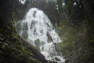 Moon FallsSource-reviewed route and parkingLane County, OR
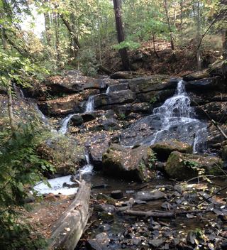 Cedar Mill FallsPartial guide: short boardwalk walk; permission to park in the church lot is not statedWashington County, OR
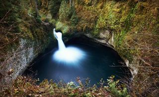 Punchbowl FallsCounty park trail to an overlook documentedHood River County, OR
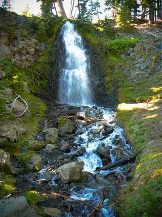 Obsidian FallsLong wilderness trail; limited-entry permit requiredLane County, OR
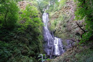 Upper Coopey FallsShort climb on the Angels Rest Trail and side path to the baseMultnomah County, OR
 Hug Point FallsBeach walk documented; passable at low tide onlyClatsop County, OR
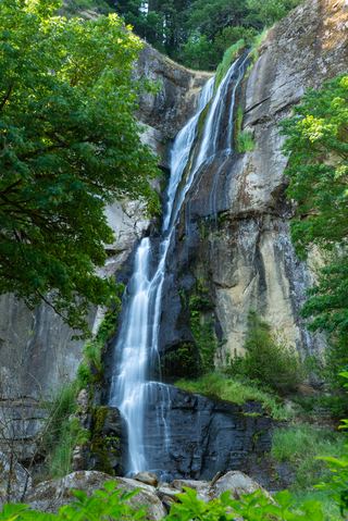 Golden FallsResearched visit notesCoos County, OR
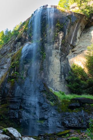 Silver FallsResearched visit notesCoos County, OR
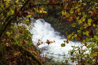 Sweet Creek FallsSource-reviewed route and parkingLane County, OR
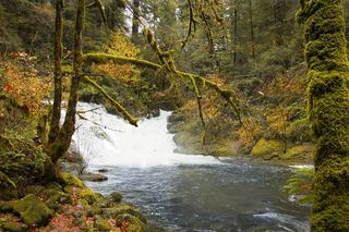 Beaver Creek FallsResearched walking routeLane County, OR
620 ft total · Multnomah County, OR
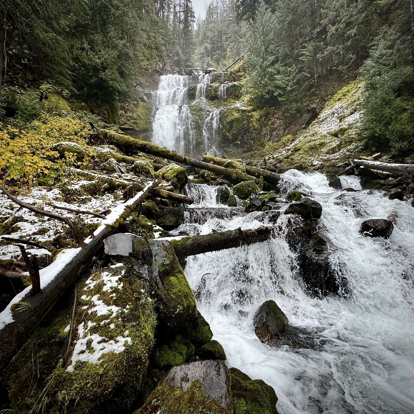
600 ft (182.9 m) · Lane County, OR
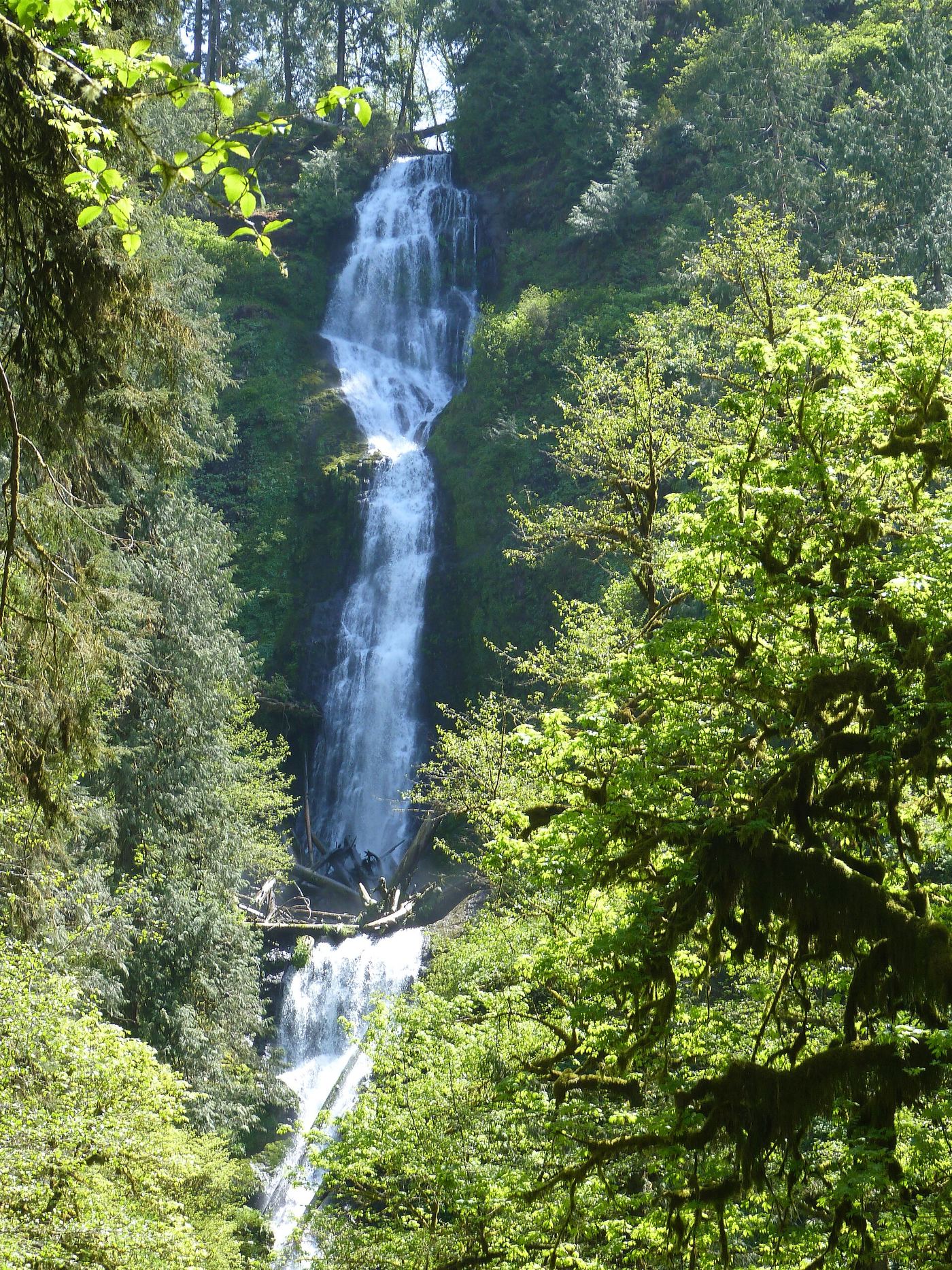
319 ft (97.2 m) · Tillamook County, OR
Watson FallsResearched walking route292 ft (89 m) · Douglas CountySalt Creek FallsResearched visit notes286 ft (87.2 m) · Lane CountyLoowit FallsEstablished cliffside trail to a viewpoint across the canyon78 ft (23.8 m) · Hood River CountyLower Punch Bowl FallsCanyon trail and spur to the shoreline beside the falls12 ft (3.7 m) · Hood River CountyMetlako FallsCollapsed overlook; limited main-trail sighting reported102 ft (31 m) · Hood River CountyPunch Bowl FallsResearched visit notes36 ft (11 m) · Hood River CountyPunchbowl FallsCounty park trail to an overlook documentedHood River CountyStarvation Creek FallsShort paved walk to a viewpoint documented227 ft (69.2 m) · Hood River CountyTamanawas FallsResearched visit notes108 ft (33 m) · Hood River CountyTunnel FallsLong established cliffside trail; walk behind the falls172 ft (52.4 m) · Hood River CountyBridal Veil FallsResearched visit notes118 ft (36 m) · Multnomah CountyCoopey FallsTrail viewpoint above the falls; the base is on private convent land150 ft (45.7 m) · Multnomah CountyElowah FallsEstablished trail to the base of the falls; broken footbridge at the creek213 ft (64.9 m) · Multnomah CountyFairy FallsResearched visit notes20 ft (6.1 m) · Multnomah CountyHorsetail FallsResearched walking route214 ft (65.2 m) · Multnomah CountyLatourell FallsResearched visit notes224 ft lower falls · Multnomah CountyLower Multnomah FallsPaved viewpoint walk and seasonal permits documented69 ft (21 m) · Multnomah CountyMiddle Oneonta FallsGorge trail past Ponytail Falls to a footbridge view24 ft (7.3 m) · Multnomah CountyMultnomah FallsResearched visit notes620 ft total · Multnomah CountyOneonta FallsPartial guide: only a partial view of the upper falls from the trail; the gorge route to the base is closed98 ft (30 m) · Multnomah CountyPonytail FallsResearched visit notes88 ft (26.8 m) · Multnomah CountyShepperd's Dell FallsShort paved path from a roadside pullout82 ft (25 m) · Multnomah CountyUpper Coopey FallsShort climb on the Angels Rest Trail and side path to the baseMultnomah CountyUpper McCord Creek FallsCliffside trail to a viewpoint of the falls64 ft (19.5 m) · Multnomah CountyUpper Oneonta FallsPartial guide: only the top of the falls is visible from the trail; no route to the base65 ft (19.8 m) · Multnomah CountyWahclella FallsSource-reviewed route and parking127 ft (38.7 m) · Multnomah CountyWahkeena FallsResearched visit notes242 ft (73.7 m) · Multnomah CountyWiesendanger FallsResearched walking route49 ft (15 m) · Multnomah CountyClearwater FallsSource-reviewed route and parkingDouglas CountyNational FallsShort forest trail to the base of the fallsDouglas CountyToketee FallsResearched visit notes113 ft (34.4 m) · Douglas CountyWatson FallsResearched walking route292 ft (89 m) · Douglas CountyBeaver Creek FallsResearched walking routeLane CountyDiamond Creek FallsOfficial USFS trail and fee site documented120 ft (36.6 m) · Lane County Indian Hole FallsLane CountyLinton FallsPartial guide: distant view from across Linton Lake; the exact viewpoint is not described and the base has no official trail600 ft (182.9 m) · Lane CountyMoon FallsSource-reviewed route and parkingLane CountyObsidian FallsLong wilderness trail; limited-entry permit requiredLane CountyProxy FallsSeasonal highway access226 ft (68.9 m) · Lane CountySalt Creek FallsResearched visit notes286 ft (87.2 m) · Lane CountySweet Creek FallsSource-reviewed route and parkingLane CountyUpper Proxy FallsLoop and roadside trailhead parking documented.129 ft (39.3 m) · Lane CountyButte Creek FallsSigned state forest trail and trailhead documented79 ft (24 m) · Clackamas County
 Lower Butte Creek FallsClackamas CountyRamona FallsResearched visit notes120 ft (36.5 m) · Clackamas CountySinger FallsPartial guide: public stair route documented; parking not describedClackamas CountyUpper Butte Creek FallsShort state forest trail to a walk-behind waterfall26 ft (8 m) · Clackamas CountyWillamette FallsPublic roadside viewpoint with parking documented39 ft (12 m) · Clackamas CountyBenham FallsResearched visit notesDeschutes CountyCline FallsSource-reviewed route and parking20 ft (6.1 m) · Deschutes CountyDillon FallsResearched visit notesDeschutes CountyPaulina FallsResearched walking routeDeschutes CountyTumalo FallsResearched visit notes89 ft (27.1 m) · Deschutes CountyDouble FallsState park trail to the base of the falls184 ft (56 m) · Marion CountyDrake FallsState park trail to a viewing deck documented26 ft (8 m) · Marion CountyWinter FallsState park trail from a highway trailhead to the base of the falls135 ft (41 m) · Marion CountyPlaikni FallsNormal road access closedKlamath CountyVidae FallsPartial guide: roadside falls on East Rim Drive, which closes each winter and has a construction closure listed115 ft (35 m) · Klamath CountyMunson Creek FallsResearched visit notes319 ft (97.2 m) · Tillamook CountyKoosah FallsResearched visit notes74 ft (22.6 m) · Linn CountyMajestic FallsCounty park stairs and viewing decks beside the parking areaLinn CountyRoyal Terrace FallsCounty park trail to a footbridge view documentedLinn CountySahalie FallsResearched visit notes73 ft (22.3 m) · Linn CountyTamolitch FallsParking and road construction restrictionsLinn CountyButte FallsPartial: historical parking route documented; replacement-platform approach and current access unconfirmed15 ft (4.6 m) · Jackson CountyMill Creek FallsScenic area trail to a clifftop view documented173 ft (52.7 m) · Jackson CountyCelestial FallsState park canyon trail to the power plant viewpoint43 ft (13 m) · Wasco CountyLower White River FallsState park canyon trail and user trail to the falls20 ft (6 m) · Wasco CountyMosier Creek FallsSigned trail to a falls overlook documentedWasco CountySherar's FallsPartial guide: public viewing and parking spots on tribal land not described in detail15 ft (4.6 m) · Wasco CountyWhite River FallsResearched visit notesWasco CountyCedar Mill FallsPartial guide: short boardwalk walk; permission to park in the church lot is not statedWashington CountyKi-a-Kuts FallsPartial: historical off-trail route documented; current logging-road permission and access unverifiedWashington County