Stranahan Falls
Hood River County, Oregon
Your visit at a glance
- Waterfall height
- Not recorded
- Location
- Hood River County, Oregon
- Access status
- Partial guide: roadside view from Cloud Cap Road; the exact viewing spot is not described
- The walk
- Roadside view; no walk
- Ground & access
- Gravel road with numerous large water bars; Oregon Hikers advises staying under 20 mph and slowing to about 5 mph for some of them.
Stranahan Falls is the major falls of the Eliot Branch of the Middle Fork Hood River, dropping about 282 feet into the canyon below Inspiration Point and Cloud Cap Inn. A visitor account says an impressive falls can be seen plunging into the canyon below on the drive up to Cloud Cap Inn, and identifies it as Stranahan Falls. The Northwest Waterfall Survey notes a sign along Cloud Cap Road in the Inspiration Point area that labels the view as Wallalute Falls, a name the survey says belongs to a different falls in the next canyon west. Cloud Cap Road leaves Cooper Spur Road and climbs as gravel for 8.8 miles past Inspiration Point. The exact pullout for the view is not described. The base of the falls has no trail; reaching it would take miles of difficult off-trail travel.
Plan your visit
Roadside view into the Eliot Branch canyon from Cloud Cap Road below Cloud Cap Inn, in the Inspiration Point area
No walking distance applies; the falls are seen from the road. The exact viewing spot on the road is not stated.
Gravel road with numerous large water bars; Oregon Hikers advises staying under 20 mph and slowing to about 5 mph for some of them.
Where to start
No designated parking for the view is described. Do not block the narrow road.
Timing & water
These sources give no seasonal opening dates for Cloud Cap Road.
Before you go
No fee is mentioned for the roadside view. The Cloud Cap Trailhead at the end of the road requires a Northwest Forest Pass.
Visitor informationVisit sources
- Piolog: Mysterious waterfalls on the north face of Mt Hood
- Piolog: Mysterious waterfalls on the north face of Mt Hood
- Piolog: Mysterious waterfalls on the north face of Mt Hood
- Northwest Waterfall Survey: Stranahan Falls
- Northwest Waterfall Survey: Wallalute Falls
- Oregon Hikers Field Guide: Cloud Cap Trailhead
- Oregon Hikers Field Guide: Cloud Cap Trailhead
More waterfalls nearby
Within 40 straight-line miles. Road and trail distances will differ.
- Cannonball FallsHood River County, OR0.8 miNW
- Wallalute FallsHood River County, OR0.9 miW
- Wapiti FallsHood River County, OR1.3 miW
- Kalakwahtie FallsHood River County, OR1.4 miW
- Coe FallsHood River County, OR1.4 miW
- Cooper Spur FallsHood River County, OR2.7 miS
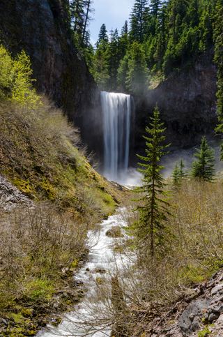 Tamanawas FallsResearched visit notes108 ft (33 m) · Hood River County, OR3.3 miE
- Newton Creek FallsHood River County, OR3.3 miS
- Eden Park FallsHood River County, OR3.7 miW