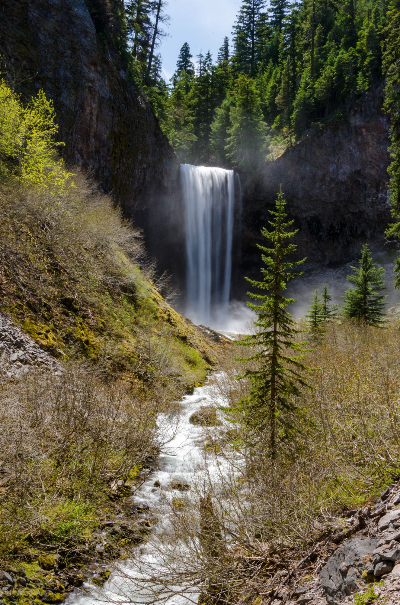
Tamanawas Falls
Hood River County, Oregon
Your visit at a glance
- Waterfall height
- 108 ft (33 m)
- Location
- Hood River County, Oregon
- The walk
- Creekside hike; optional 5-mile loop
- Ground & access
- Creek crossings, log steps and a loose-rock slope. A temporary repair follows the December 2025 washout; watch for slides.
Cross the East Fork bridge from the lot, turn north on #650, then follow #650A toward Cold Spring Creek and the falls.
Plan your visit
East Fork Trail to Tamanawas Falls Trail #650A
Five miles describes the optional return via Tamanawas Tie and Elk Meadows trails, not the direct out-and-back route.
Creek crossings, log steps and a loose-rock slope. A temporary repair follows the December 2025 washout; watch for slides.
Where to start
Use the lot west of Highway 35, a quarter-mile north of Sherwood Campground. It frequently fills on weekends.
Timing & water
The trailhead reports the trail open with a temporary fix. Check current conditions before starting.
Before you go
$5 per vehicle year-round or accepted pass. Current instructions accept recreation passes or digital payment only, not cash or checks.
Visitor informationVisit sources
More waterfalls nearby
Within 40 straight-line miles. Road and trail distances will differ.
- Stranahan FallsPartial guide: roadside view from Cloud Cap Road; the exact viewing spot is not describedHood River County, OR3.3 miW
- Cannonball FallsHood River County, OR4.1 miW
- Wallalute FallsHood River County, OR4.2 miW
- Newton Creek FallsHood River County, OR4.3 miSW
- Cooper Spur FallsHood River County, OR4.4 miSW
- Wapiti FallsHood River County, OR4.6 miW
- Kalakwahtie FallsHood River County, OR4.7 miW
- Coe FallsHood River County, OR4.7 miW
- Clark Creek FallsHood River County, OR4.8 miSW