Tamolitch Falls
Linn County, Oregon
Your visit at a glance
- Waterfall height
- Not recorded
- Location
- Linn County, Oregon
- Access status
- Parking and road construction restrictions
- The walk
- 2.1 miles to Blue Pool
- Ground & access
- Rough lava terrain and steep pool cliffs. Cold water and jumping have caused serious injuries and deaths.
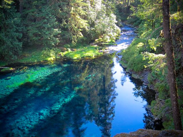
Photo credit
Photo: U.S. Forest Service- Pacific Northwest Region, Public domain, via Wikimedia CommonsWalk upstream to Blue Pool. Tamolitch Falls is usually dry; the pool remains spring-fed.
Plan your visit
McKenzie River Trail from Trail Bridge Reservoir
The Forest Service lists 2.1 miles from the southern Trail Bridge approach, approximately 4.2 miles returning the same way.
Rough lava terrain and steep pool cliffs. Cold water and jumping have caused serious injuries and deaths.
Where to start
Official directions use FSR 730, then 2672-655 to the lot. Walk uphill to the trail sign. Do not park on Highway 126 or block EWEB access.
Timing & water
Construction order through September 30, 2027 closes roads 2600-735, 738, 739 and the defined east-bank area. Road 2600-740 is also closed to vehicles and pedestrians. Confirm access with the ranger station; obey barriers.
Before you go
No site fee is listed.
Visitor informationVisit sources
More waterfalls nearby
Within 40 straight-line miles. Road and trail distances will differ.
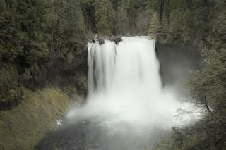 Koosah FallsResearched visit notes74 ft (22.6 m) · Linn County, OR2.6 miNE
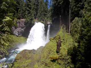 Sahalie FallsResearched visit notes73 ft (22.3 m) · Linn County, OR2.9 miNE
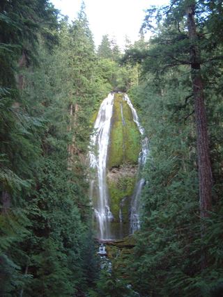 Proxy FallsSeasonal highway access226 ft (68.9 m) · Lane County, OR11 miSE
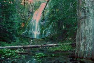 Upper Proxy FallsLoop and roadside trailhead parking documented.129 ft (39.3 m) · Lane County, OR11 miSE
- House Rock FallsPartial guide: trail approach verified; day-hiker parking and total distance unknown.Linn County, OR12 miNW
- Horse CreekLane County, OR12 miSW
- Rainbow FallsResearched visit notesLane County, OR13 miS
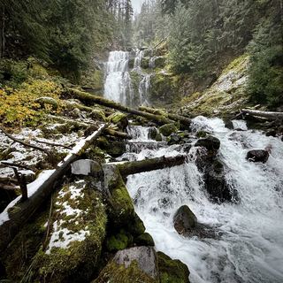 Linton FallsPartial guide: distant view from across Linton Lake; the exact viewpoint is not described and the base has no official trail600 ft (182.9 m) · Lane County, OR13 miSE
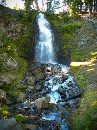 Obsidian FallsLong wilderness trail; limited-entry permit requiredLane County, OR14 miSE