Rainbow Falls
Lane County, Oregon
Your visit at a glance
- Waterfall height
- Not recorded
- Location
- Lane County, Oregon
- The walk
- Distance not stated
- Ground & access
- Old-road approach and undeveloped viewpoint; detailed grade and surface are not stated.
Follow the old road south toward Three Sisters Wilderness, then the trail east to the undeveloped canyon viewpoint of Rainbow Falls.
Plan your visit
Rainbow Falls Trail #3543 to the Separation Creek Canyon viewpoint
Neither the trail nor trailhead page supplies walking mileage.
Old-road approach and undeveloped viewpoint; detailed grade and surface are not stated.
Where to start
Pullout on the south side of Foley Ridge Road (FR 2643), eight road miles uphill from Highway 126.
Timing & water
Trailhead listed open when checked 2026-10-27. Forest roads are not maintained for snow and ice; current trail conditions require ranger confirmation.
Before you go
June 15–October 15: free self-issued wilderness permit for day use; Central Cascades permit for overnight use. Parking fee not stated.
Visitor informationVisit sources
More waterfalls nearby
Within 40 straight-line miles. Road and trail distances will differ.
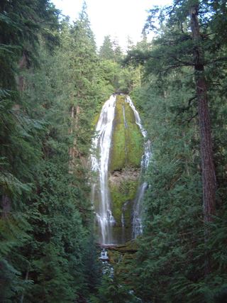 Proxy FallsSeasonal highway access226 ft (68.9 m) · Lane County, OR4.2 miNE
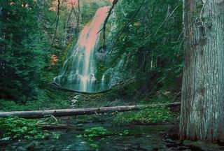 Upper Proxy FallsLoop and roadside trailhead parking documented.129 ft (39.3 m) · Lane County, OR4.4 miNE
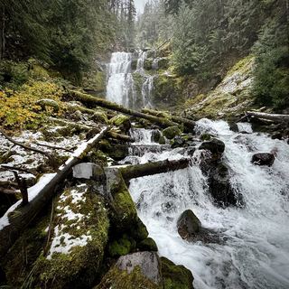 Linton FallsPartial guide: distant view from across Linton Lake; the exact viewpoint is not described and the base has no official trail600 ft (182.9 m) · Lane County, OR6.1 miE
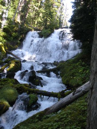 Indian Hole FallsLane County, OR7.2 miSE
- Horse CreekLane County, OR7.9 miW
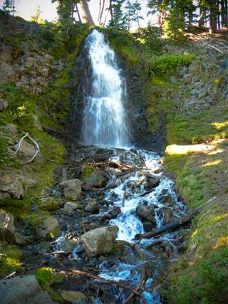 Obsidian FallsLong wilderness trail; limited-entry permit requiredLane County, OR9.4 miE
- Rider Creek FallsLane County, OR12 miW
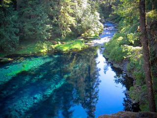 Tamolitch FallsParking and road construction restrictionsLinn County, OR13 miN
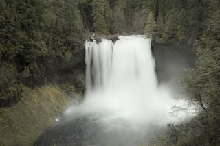 Koosah FallsResearched visit notes74 ft (22.6 m) · Linn County, OR15 miN