Linton Falls
Lane County, Oregon
Your visit at a glance
- Waterfall height
- 600 ft (182.9 m)
- Location
- Lane County, Oregon
- Access status
- Partial guide: distant view from across Linton Lake; the exact viewpoint is not described and the base has no official trail
- The walk
- 3.0 miles round trip for the Linton Lake hike, per Oregon Hikers
- Ground & access
- Well graded trail with a small lava field, descending to the lake. Parts of the area burned in a past fire.
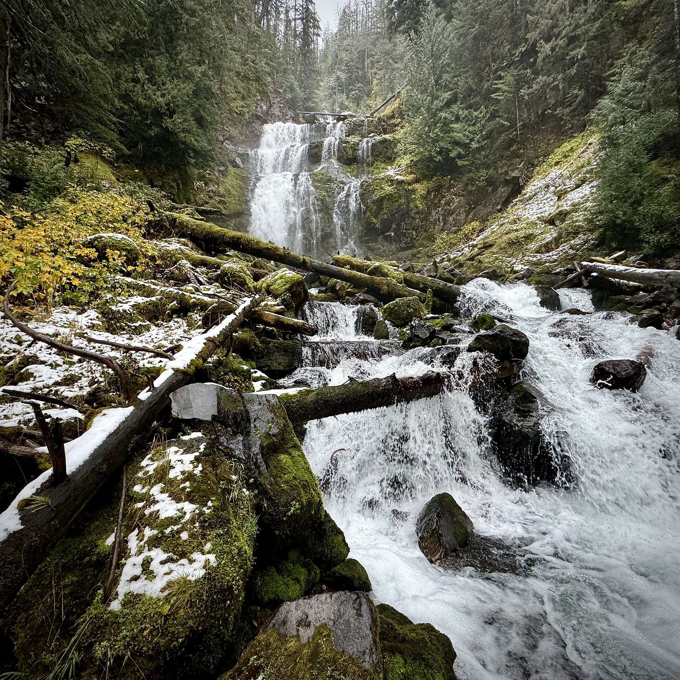
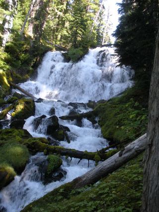
Linton Falls is a multi-tier waterfall of roughly 470 to 615 feet on Linton Creek above Linton Lake in the Three Sisters Wilderness. Oregon Hikers says the falls can be seen from across Linton Lake. From the Linton Lake Trailhead, cross Highway 242 to the stairs and follow the Linton Lake Trail through forest and over a small lava field. The first lake views come at about 1 1/8 miles, and the trail descends along the shore to campsites at Obsidian Creek. The exact spot for the best view across the lake is not described. The base can only be reached on an unmaintained, extremely steep scramble path; Oregon Hikers warns that a slip above its halfway point would be fatal, and the Northwest Waterfall Survey does not publish directions because there is no developed or officially sanctioned access.
Plan your visit
Linton Lake Trailhead on Highway 242, Linton Lake Trail to Linton Lake, with a distant view of the falls across the lake
Oregon Hikers gives 3.0 miles round trip for the Linton Lake hike to the Obsidian Creek campsites. The unofficial scramble route to the base is listed separately as a 1.0-mile round trip add-on from the lake with 700 feet of gain; it is not part of this guide.
Well graded trail with a small lava field, descending to the lake. Parts of the area burned in a past fire.
Where to start
Linton Lake Trailhead next to the Alder Springs Campground entrance on Highway 242; the trail starts across the road.
Timing & water
Oregon Hikers says Highway 242 is usually closed from mid-fall through most of spring, and lists the hike for mid summer through fall.
Before you go
Oregon Hikers: Northwest Forest Pass (or America the Beautiful Pass) required; a self-issued wilderness permit is needed.
Visitor informationVisit sources
More waterfalls nearby
Within 40 straight-line miles. Road and trail distances will differ.
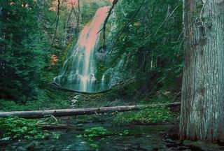 Upper Proxy FallsLoop and roadside trailhead parking documented.129 ft (39.3 m) · Lane County, OR2.0 miW
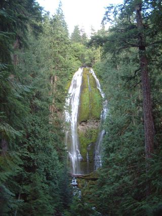 Proxy FallsSeasonal highway access226 ft (68.9 m) · Lane County, OR2.2 miW
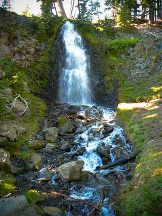 Obsidian FallsLong wilderness trail; limited-entry permit requiredLane County, OR3.3 miE
 Indian Hole FallsLane County, OR4.9 miS
- Rainbow FallsResearched visit notesLane County, OR6.1 miW
- Phoenix Falls110 ft (33.5 m) · Deschutes County, OR9.4 miE
- Howlaak Falls70 ft (21.3 m) · Deschutes County, OR9.6 miE
- Columnar Canyon Falls125 ft (38.1 m) · Deschutes County, OR9.6 miE
- The CascadesPartial guide: informal paths past Chush Falls; current trailhead location not confirmedDeschutes County, OR9.9 miE