Upper Proxy Falls
Lane County, Oregon
Your visit at a glance
- Waterfall height
- 129 ft (39.3 m)
- Location
- Lane County, Oregon
- Access status
- Loop and roadside trailhead parking documented.
- The walk
- 1.5-mile loop
- Ground & access
- Dirt and lava rock; not an accessible trail. Stay on the viewing trail.

Photo credit
Photo: U.S. Forest Service- Pacific Northwest Region, Public domain, via Wikimedia CommonsUpper Proxy Falls is one of the two waterfall views on this forest and lava-field loop.
Plan your visit
Use Proxy Falls Trail #3532 from the signed Highway 242 trailhead. The loop provides views of both upper and lower falls; return around the loop.
Travel Lane County describes 1.5 miles for the loop visiting both falls, not the distance to Upper Proxy Falls alone.
Dirt and lava rock; not an accessible trail. Stay on the viewing trail.
Where to start
Use roadside pullouts at the signed Proxy Falls Trail #3532 start on Highway 242. Published sources disagree on road mileage from Highway 126; use the signed start and current road guidance.
Timing & water
Highway 242 closes for snow, typically November–June. Confirm current road access.
Before you go
Travel Lane County lists a $5 vehicle day-use fee or recreation pass.
Visitor informationVisit sources
More waterfalls nearby
Within 40 straight-line miles. Road and trail distances will differ.
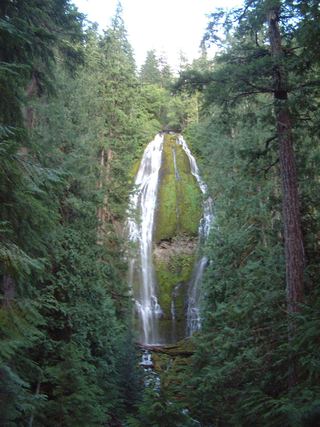 Proxy FallsSeasonal highway access226 ft (68.9 m) · Lane County, OR0.2 miW
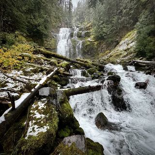 Linton FallsPartial guide: distant view from across Linton Lake; the exact viewpoint is not described and the base has no official trail600 ft (182.9 m) · Lane County, OR2.0 miE
- Rainbow FallsResearched visit notesLane County, OR4.4 miSW
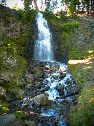 Obsidian FallsLong wilderness trail; limited-entry permit requiredLane County, OR5.3 miE
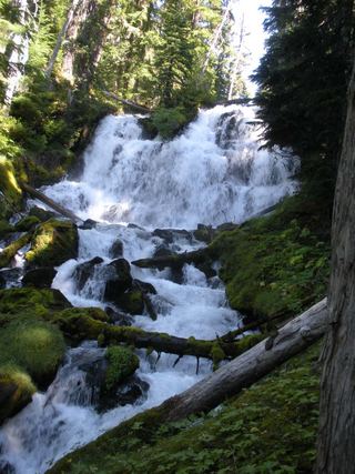 Indian Hole FallsLane County, OR5.8 miSE
- Horse CreekLane County, OR11 miW
- Phoenix Falls110 ft (33.5 m) · Deschutes County, OR11 miE
 Tamolitch FallsParking and road construction restrictionsLinn County, OR11 miNW
- Howlaak Falls70 ft (21.3 m) · Deschutes County, OR12 miE