Proxy Falls
Lane County, Oregon
Your visit at a glance
- Waterfall height
- 226 ft (68.9 m)
- Location
- Lane County, Oregon
- Access status
- Seasonal highway access
- The walk
- Loop with separate waterfall viewpoints
- Ground & access
- Old lava flow, forest path and a creek-bed branch; accessibility is not stated.
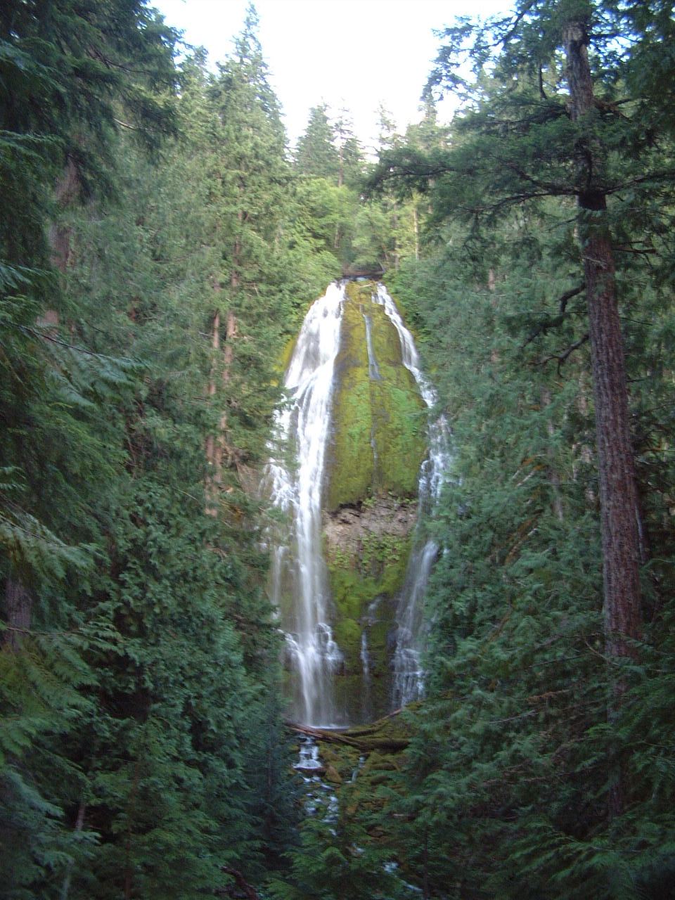
Photo credit
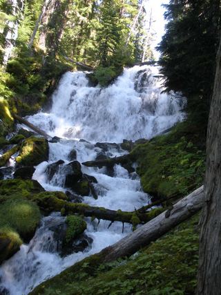
Photo: Ljmajer, Public domain, via Wikimedia CommonsFollow the loop as signed through lava and conifer forest. The west junction leads to Lower Proxy Falls; the east junction climbs toward Upper Proxy Falls.
Plan your visit
Proxy Falls Trail #3532 loop
The current Forest Service pages describe the loop and its branches but do not give a measured total distance.
Old lava flow, forest path and a creek-bed branch; accessibility is not stated.
Where to start
Start at Proxy Falls Trailhead on Highway 242, nine miles east of its Highway 126 junction. Vehicles over 35 feet are not allowed on the approach.
Timing & water
Typically June–October. Highway 242 closes in winter; check TripCheck before travel.
Before you go
$5 vehicle day-use fee or accepted pass. Free self-issued day-use wilderness permits apply June 15–October 15; overnight permits are separate.
Visitor informationMore waterfalls nearby
Within 40 straight-line miles. Road and trail distances will differ.
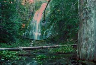 Upper Proxy FallsLoop and roadside trailhead parking documented.129 ft (39.3 m) · Lane County, OR0.2 miE
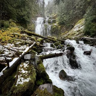 Linton FallsPartial guide: distant view from across Linton Lake; the exact viewpoint is not described and the base has no official trail600 ft (182.9 m) · Lane County, OR2.2 miE
- Rainbow FallsResearched visit notesLane County, OR4.2 miSW
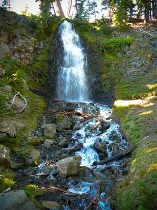 Obsidian FallsLong wilderness trail; limited-entry permit requiredLane County, OR5.5 miE
 Indian Hole FallsLane County, OR5.8 miSE
- Horse CreekLane County, OR11 miW
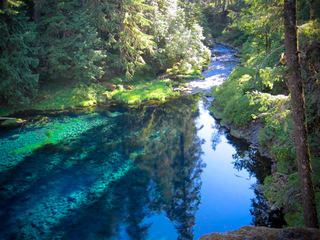 Tamolitch FallsParking and road construction restrictionsLinn County, OR11 miNW
- Phoenix Falls110 ft (33.5 m) · Deschutes County, OR12 miE
- Howlaak Falls70 ft (21.3 m) · Deschutes County, OR12 miE