House Rock Falls
Linn County, Oregon
Your visit at a glance
- Waterfall height
- Not recorded
- Location
- Linn County, Oregon
- Access status
- Partial guide: trail approach verified; day-hiker parking and total distance unknown.
- The walk
- Distance unknown
- Ground & access
- Forest trail and river bridge; current footing unknown.
The USFS documents a river-side trail past a large overhanging boulder to House Rock Falls.
Plan your visit
From House Rock/Houserock Falls Trailhead near House Rock Campground, follow the road uphill about 80 feet, cross the South Santiam River bridge and follow House Rock Trail #3406 to the falls. Return the same way.
The 80-foot figure describes only the initial road section, not the full waterfall walk.
Forest trail and river bridge; current footing unknown.
Where to start
USFS gives access via Highway 20 and FR 2044 to House Rock Campground, but neither the trail description nor campground map verifies designated day-hiker parking.
Timing & water
USFS directs visitors to the ranger station for current conditions.
Before you go
Day-use fees and booking requirements unknown.
Visitor informationMore waterfalls nearby
Within 40 straight-line miles. Road and trail distances will differ.
- Upper Soda FallsLinn County, OR11 miW
- Lower Soda FallsState park trail to the base documentedLinn County, OR12 miW
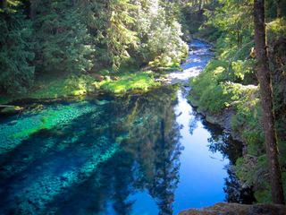 Tamolitch FallsParking and road construction restrictionsLinn County, OR12 miSE
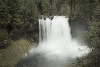 Koosah FallsResearched visit notes74 ft (22.6 m) · Linn County, OR12 miE
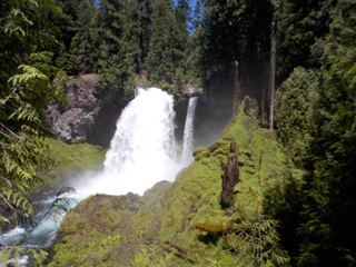 Sahalie FallsResearched visit notes73 ft (22.3 m) · Linn County, OR12 miE
- Horse CreekLane County, OR16 miS
- Rider Creek FallsLane County, OR21 miS
- Rainbow FallsResearched visit notesLane County, OR22 miSE
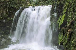 Majestic FallsCounty park stairs and viewing decks beside the parking areaLinn County, OR22 miW