Majestic Falls
Linn County, Oregon
Your visit at a glance
- Waterfall height
- Not recorded
- Location
- Linn County, Oregon
- Access status
- County park stairs and viewing decks beside the parking area
- The walk
- Short; steps from the upper parking area to the viewing decks
- Ground & access
- Stone steps and wooden stairs, which can be slippery.
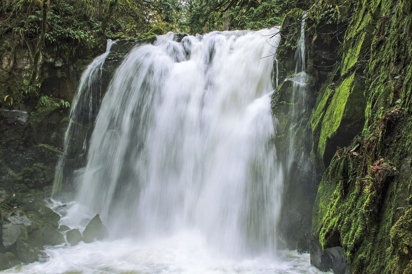
Majestic Falls is a 39-foot drop on McDowell Creek in Linn County's McDowell Creek Falls County Park, north of Sweet Home. From the upper parking area, find the trail to the left of a couple of picnic tables. It leads down to a viewing deck at the top of the falls, and a staircase drops to a lower viewpoint and a bridge below the falls. Return the same way, or follow the creek trail downstream past Crystal Falls toward the lower parking area. You can also start at the lower parking area and walk the trail upstream.
Plan your visit
Upper (Majestic Falls) parking area in McDowell Creek Falls County Park, trail and stairs to the viewing decks
No source gives the distance from the upper parking area; it is a short path and staircase. From the lower parking area, the Northwest Waterfall Survey gives a little over half a mile on the creek trail to the same bridge and viewpoint.
Stone steps and wooden stairs, which can be slippery.
Where to start
Upper parking area on McDowell Creek Road: drive past the lower parking area, cross the creek and climb the steep hill, then bear left into the upper parking area just before the road bends sharply right. There may be no signs.
Timing & water
Open all year. The falls shrink to wispy trickles in the dry season; late fall into early summer is best.
Before you go
No fee is mentioned.
Visitor informationVisit sources
More waterfalls nearby
Within 40 straight-line miles. Road and trail distances will differ.
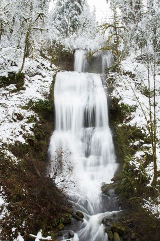 Royal Terrace FallsCounty park trail to a footbridge view documentedLinn County, OR0.4 miSW
- Upper Soda FallsLinn County, OR11 miE
- Lower Soda FallsState park trail to the base documentedLinn County, OR11 miSE
- House Rock FallsPartial guide: trail approach verified; day-hiker parking and total distance unknown.Linn County, OR22 miE
- South FallsPaved rim view and short loop behind the falls177 ft (54 m) · Marion County, OR28 miN
- Frenchie FallsSigned state park spur to a seasonal falls documentedMarion County, OR29 miN
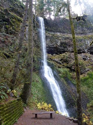 Winter FallsState park trail from a highway trailhead to the base of the falls135 ft (41 m) · Marion County, OR29 miN
- Upper North FallsSigned state park trail to the base documented66 ft (20 m) · Marion County, OR29 miN
- Lower South FallsState park trail from South Falls Lodge; walk behind the falls92 ft (28 m) · Marion County, OR29 miN