Lower Soda Falls
Linn County, Oregon
Your visit at a glance
- Waterfall height
- Not recorded
- Location
- Linn County, Oregon
- Access status
- State park trail to the base documented
- The walk
- About three-quarters of a mile to the base
- Ground & access
- Easy forest trail with footbridges. Blackberry thickets line parts of the creek bottom.
Lower Soda Falls drops 134 feet in three tiers on Soda Creek. From the picnic area, walk about 90 yards down the right-hand park road to the Soda Creek Falls sign. Follow the trail up beside Soda Creek, crossing the creek on footbridges and keeping right at a junction. Where the trail splits, go right to the base of the falls, or left up to a boulder viewpoint. Return the same way.
Plan your visit
Cascadia State Park day-use area via the Soda Creek Falls Trail to the base of Lower Soda Falls
The Northwest Waterfall Survey gives three-quarters of a mile from the trailhead to the base. The figure is one way. Oregon Hikers gives 2.6 miles for a longer outing that adds a river walk.
Easy forest trail with footbridges. Blackberry thickets line parts of the creek bottom.
Where to start
Day-use area in Cascadia State Park, off Highway 20 about 14 miles east of Sweet Home. Turn into the park, cross the South Santiam River, and keep right to the day-use parking with restrooms.
Timing & water
Oregon Hikers lists the trail as open all year. The falls are slight most of the year and strongest in winter and spring. The campground is open May through September.
Before you go
No fee is mentioned.
Visitor informationVisit sources
More waterfalls nearby
Within 40 straight-line miles. Road and trail distances will differ.
- Upper Soda FallsLinn County, OR0.5 miN
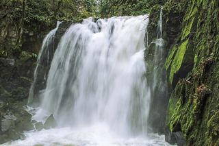 Majestic FallsCounty park stairs and viewing decks beside the parking areaLinn County, OR11 miNW
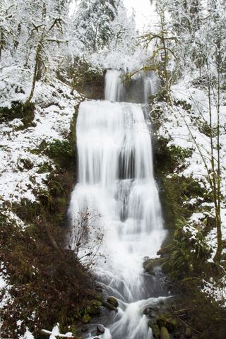 Royal Terrace FallsCounty park trail to a footbridge view documentedLinn County, OR11 miW
- House Rock FallsPartial guide: trail approach verified; day-hiker parking and total distance unknown.Linn County, OR12 miE
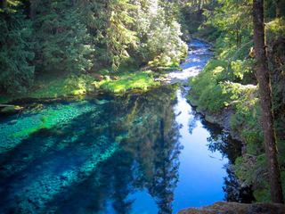 Tamolitch FallsParking and road construction restrictionsLinn County, OR23 miE
- Horse CreekLane County, OR23 miSE
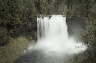 Koosah FallsResearched visit notes74 ft (22.6 m) · Linn County, OR24 miE
 Sahalie FallsResearched visit notes73 ft (22.3 m) · Linn County, OR24 miE
- Rider Creek FallsLane County, OR25 miSE