National Falls
Douglas County, Oregon
Your visit at a glance
- Waterfall height
- Not recorded
- Location
- Douglas County, Oregon
- Access status
- Short forest trail to the base of the falls
- The walk
- 0.8 miles round trip, per Oregon Hikers
- Ground & access
- Switchbacking forest trail; 210 feet to regain on the return. Slippery logs if crossing the creek.
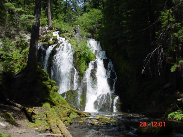
This listing's coordinates match National Creek Falls, a 40-foot falls where spring-fed National Creek splits around a basalt outcrop. From Highway 62, take Highway 230 for 6 miles, turn right on FR 6530 for 1.3 miles, keep left at the Y-junction for 2.4 miles, then turn right on gravel Road 300 for 0.1 miles to the trailhead. The trail traverses and switchbacks down through old-growth forest to the top of the falls, then continues down to the end of the trail, where most of the falls can be seen. Oregon Hikers mentions crossing logs downstream for a better view from the other bank and warns that the logs are slippery and treacherous when wet. Return uphill the same way.
Plan your visit
National Creek Falls Trailhead off Forest Road 6530, trail down to the base of National Creek Falls
Oregon Hikers gives 0.8 miles round trip with 210 feet of gain. The Northwest Waterfall Survey says the trail drops to the falls in just under 1/2 mile.
Switchbacking forest trail; 210 feet to regain on the return. Slippery logs if crossing the creek.
Where to start
Small trailhead parking area on Road 300; no facilities.
Timing & water
Oregon Hikers lists spring into fall. The creek flows consistently all year.
Before you go
No fee is mentioned.
Visitor informationVisit sources
More waterfalls nearby
Within 40 straight-line miles. Road and trail distances will differ.
- Alkali FallsMain waterfall approach and parking unconfirmed131 ft (40 m) · Douglas County, OR2.8 miNW
- Rough Rider FallsUpper Rogue River Trail hike; downed trees possibleDouglas County, OR4.7 miNE
- FallsDouglas County, OR9.5 miW
- Nob fallsRiver trail from the Natural Bridge day use areaJackson County, OR13 miSW
- Deer Lick FallsApproach or parking partly unconfirmedDouglas County, OR14 miNW
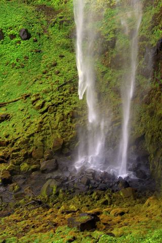 Watson FallsResearched walking route292 ft (89 m) · Douglas County, OR15 miN
- Duwee Falls98 ft (30 m) · Klamath County, OR15 miSE
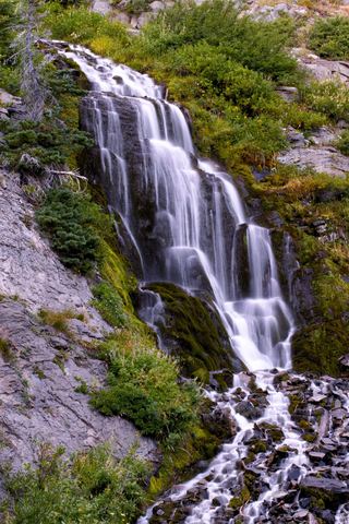 Vidae FallsPartial guide: roadside falls on East Rim Drive, which closes each winter and has a construction closure listed115 ft (35 m) · Klamath County, OR16 miSE
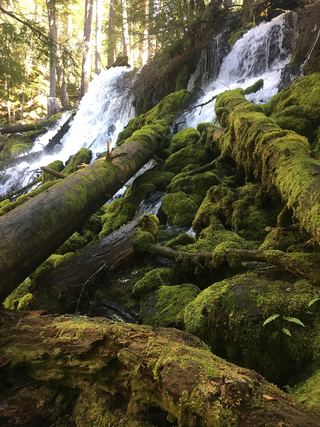 Clearwater FallsSource-reviewed route and parkingDouglas County, OR16 miN