Deer Lick Falls
Douglas County, Oregon
Your visit at a glance
- Waterfall height
- Not recorded
- Location
- Douglas County, Oregon
- Access status
- Approach or parking partly unconfirmed
- The walk
- Short trail; measured walking distance unconfirmed
- Ground & access
- Trail grade and surface not described in the reviewed visitor text.
USFS identifies Deer Lick Falls Trail #1568 two road miles beyond Camp Comfort on Road 28. This is a distinct waterfall approach, not Camp Comfort Trail #1586. The reviewed sources do not establish the exact trailhead pullout or final path details.
Plan your visit
Deer Lick Falls Trail #1568 from Road 28
Two miles refers to road travel beyond Camp Comfort, not hiking distance.
Trail grade and surface not described in the reviewed visitor text.
Where to start
Unknown. Camp Comfort campground parking and fees do not establish parking permission at Deer Lick Falls.
Timing & water
Current access and seasonal conditions require confirmation with the land manager.
Before you go
Unknown: current fees or reservation requirements were not established in the reviewed source.
Visitor informationVisit sources
More waterfalls nearby
Within 40 straight-line miles. Road and trail distances will differ.
- FallsDouglas County, OR4.5 miSE
- Yakso FallsPartial guide: named trail approach verified; parking and distance unknown.60 ft (18.3 m) · Douglas County, OR9.4 miNW
- Alkali FallsMain waterfall approach and parking unconfirmed131 ft (40 m) · Douglas County, OR12 miE
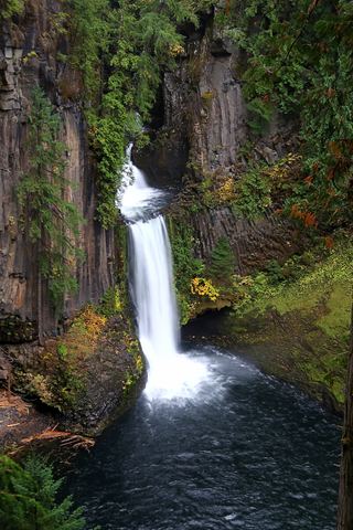 Toketee FallsResearched visit notes113 ft (34.4 m) · Douglas County, OR12 miNE
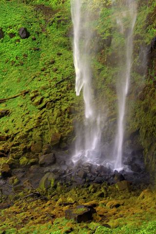 Watson FallsResearched walking route292 ft (89 m) · Douglas County, OR12 miNE
- Slide Creek FallsDouglas County, OR13 miNE
 National FallsShort forest trail to the base of the fallsDouglas County, OR14 miSE
- Grotto FallsRoute and parking researchedDouglas County, OR15 miNW
- Rough Rider FallsUpper Rogue River Trail hike; downed trees possibleDouglas County, OR15 miE