Toketee Falls
Douglas County, Oregon
Your visit at a glance
- Waterfall height
- 113 ft (34.4 m)
- Location
- Douglas County, Oregon
- The walk
- 0.4 mile to the platform
- Ground & access
- Nearly 200 steps. Remain behind barriers; the Forest Service warns of serious injuries and deaths below the platform.
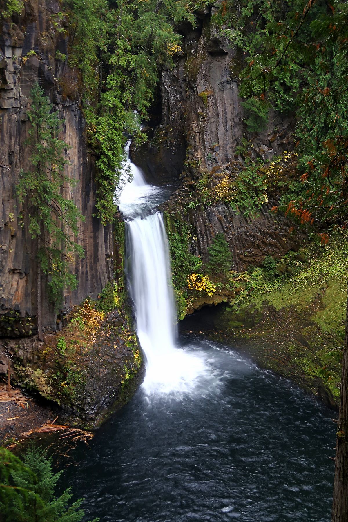
Follow the signed trail from the parking area to the platform above Toketee Falls.
Plan your visit
Toketee Falls Trail to viewing platform
The official 0.4-mile trail ends at the viewing platform; returning the same way makes approximately 0.8 mile total.
Nearly 200 steps. Remain behind barriers; the Forest Service warns of serious injuries and deaths below the platform.
Where to start
Turn onto FR 34 from Highway 138, cross the first bridge and turn left into the trailhead parking area. The trail begins at the far end.
Timing & water
Day use only; check current access and footing before walking.
Before you go
No site fee is listed.
Visitor informationVisit sources
More waterfalls nearby
Within 40 straight-line miles. Road and trail distances will differ.
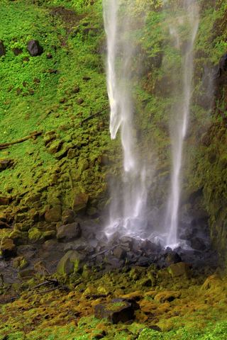 Watson FallsResearched walking route292 ft (89 m) · Douglas County, OR2.6 miSE
- Slide Creek FallsDouglas County, OR2.8 miNW
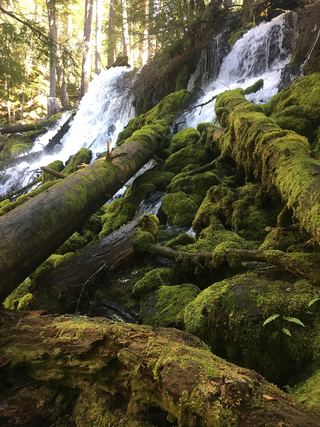 Clearwater FallsSource-reviewed route and parkingDouglas County, OR10 miE
- Warm Springs FallsResearched visit notes60 ft (18.3 m) · Douglas County, OR12 miNE
- Deer Lick FallsApproach or parking partly unconfirmedDouglas County, OR12 miSW
- Lemolo FallsPartial guide: trail approach verified; parking unknown.165 ft (50.3 m) · Douglas County, OR12 miNE
- FallsDouglas County, OR13 miS
- Alkali FallsMain waterfall approach and parking unconfirmed131 ft (40 m) · Douglas County, OR14 miS
- Rough Rider FallsUpper Rogue River Trail hike; downed trees possibleDouglas County, OR14 miSE