Lemolo Falls
Douglas County, Oregon
Your visit at a glance
- Waterfall height
- 165 ft (50.3 m)
- Location
- Douglas County, Oregon
- Access status
- Partial guide: trail approach verified; parking unknown.
- The walk
- 1 mile one way; approximately 2 miles return
- Ground & access
- Steep canyon descent and climb on return.
The old trail descends into the North Umpqua canyon below Lemolo Falls.
Plan your visit
From Lemolo Falls Trailhead at the end of FR 3401-840, descend the old Lemolo Falls Trail #1468 into the canyon to the falls. Return uphill the same way.
Current USFS trail directions describe a 1-mile descent; the return estimate doubles it. This is not the North Umpqua Trail approach.
Steep canyon descent and climb on return.
Where to start
The USFS locates the trailhead at the road end but does not explicitly document parking. Do not assume a parking space is available.
Timing & water
Current road and trail conditions unverified.
Before you go
Fees and booking requirements unknown.
Visitor informationVisit sources
More waterfalls nearby
Within 40 straight-line miles. Road and trail distances will differ.
- Warm Springs FallsResearched visit notes60 ft (18.3 m) · Douglas County, OR1.5 miNW
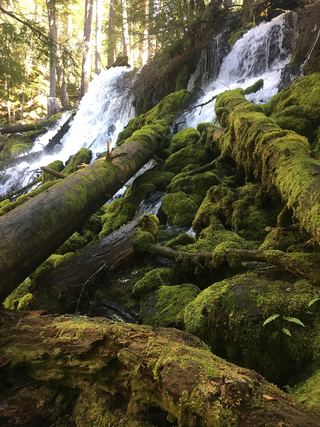 Clearwater FallsSource-reviewed route and parkingDouglas County, OR6.7 miS
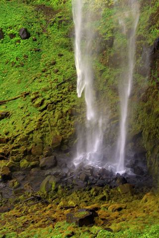 Watson FallsResearched walking route292 ft (89 m) · Douglas County, OR11 miSW
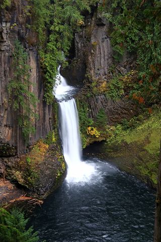 Toketee FallsResearched visit notes113 ft (34.4 m) · Douglas County, OR12 miSW
- Slide Creek FallsDouglas County, OR13 miW
- Fall Creek FallsWilderness trail to a signed viewpoint documented160 ft (48.8 m) · Lane County, OR18 miN
- Rough Rider FallsUpper Rogue River Trail hike; downed trees possibleDouglas County, OR18 miS
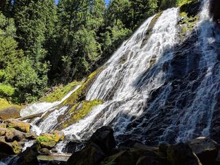 Diamond Creek FallsOfficial USFS trail and fee site documented120 ft (36.6 m) · Lane County, OR18 miN
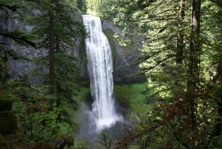 Salt Creek FallsResearched visit notes286 ft (87.2 m) · Lane County, OR19 miN