Diamond Creek Falls
Lane County, Oregon
Your visit at a glance
- Waterfall height
- 120 ft (36.6 m)
- Location
- Lane County, Oregon
- Access status
- Official USFS trail and fee site documented
- The walk
- About 3.7 mile loop including the spur to the base
- Ground & access
- Forest trail with rim viewpoints and talus. The spur to the base is steep at the log stairway. Mosquitoes are common early in the season.
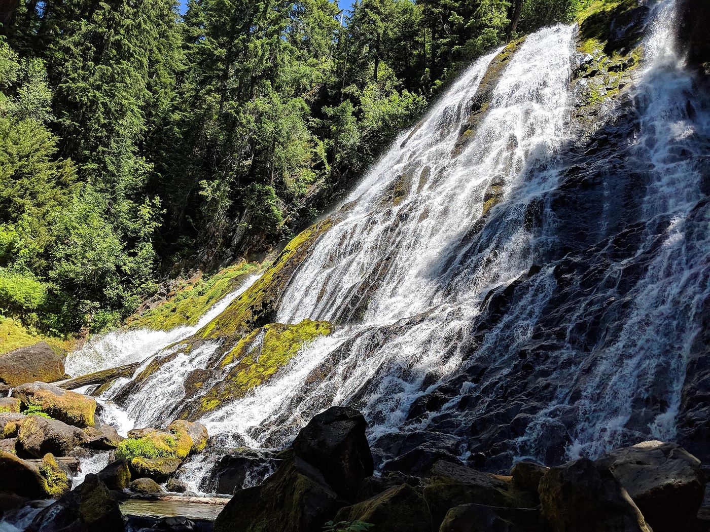
From the Salt Creek Falls parking, walk past the Salt Creek Falls overlook and cross the footbridge over Salt Creek. Go right at the first junction and follow the Diamond Creek Falls Trail along the canyon rims. At the spur junction (its sign wrongly says Lower Diamond Creek Falls), go right down a log stairway and cross a log footbridge to the base of Diamond Creek Falls. Return to the junction, pass a viewpoint above the falls, and bear left to complete the loop back to Salt Creek.
Plan your visit
Salt Creek Falls Observation Site via the Diamond Creek Falls Trail to the base of Diamond Creek Falls
Oregon Hikers gives a 3.7 mile lollipop loop with 450 feet of gain. The USFS describes the loop itself as 2.5 miles from the footbridge. The Survey places the spur junction at 1.25 miles and the base a quarter mile down the spur.
Forest trail with rim viewpoints and talus. The spur to the base is steep at the log stairway. Mosquitoes are common early in the season.
Where to start
Salt Creek Falls Observation Site off Highway 58, about 23 miles southeast of Oakridge and 5 miles west of Willamette Pass, via Forest Road 5893. Overflow parking is at Salt Creek Falls Sno-Park 0.4 mile up the road. Do not park along Highway 58.
Timing & water
The observation site is normally closed in winter; then park at the Sno-Park and walk 0.4 mile along the road. Oregon Hikers lists the loop for late spring into fall. Open sunrise to sunset.
Before you go
USFS day use fee of $5 per vehicle, or a Northwest Forest Pass or interagency pass. A Sno-Park permit is needed in winter.
Visitor informationVisit sources
More waterfalls nearby
Within 40 straight-line miles. Road and trail distances will differ.
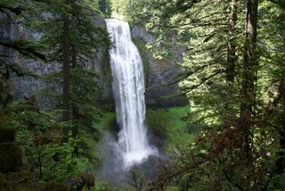 Salt Creek FallsResearched visit notes286 ft (87.2 m) · Lane County, OR0.8 miNE
- Fall Creek FallsWilderness trail to a signed viewpoint documented160 ft (48.8 m) · Lane County, OR1.1 miS
- Lillian FallsLane County, OR6.8 miN
- Salmon Creek FallsClosed for 2026; approach not verifiedLane County, OR16 miNW
- Warm Springs FallsResearched visit notes60 ft (18.3 m) · Douglas County, OR18 miS
- Lemolo FallsPartial guide: trail approach verified; parking unknown.165 ft (50.3 m) · Douglas County, OR18 miS
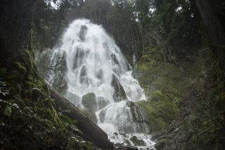 Moon FallsSource-reviewed route and parkingLane County, OR25 miW
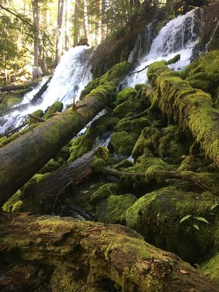 Clearwater FallsSource-reviewed route and parkingDouglas County, OR25 miS
- Upper Trestle Creek FallsForest trail loop passing behind the fallsLane County, OR26 miW