Salmon Creek Falls
Lane County, Oregon
Your visit at a glance
- Waterfall height
- Not recorded
- Location
- Lane County, Oregon
- Access status
- Closed for 2026; approach not verified
- The walk
- Site closed
- Ground & access
- Rocky gorge with two small waterfalls and deep pools.
USFS marks the campground and day-use area closed for the 2026 season, with reopening planned for spring 2027.
Plan your visit
Salmon Creek Falls day-use site: closed for 2026
Distance from day-use parking to the falls is not specified.
Rocky gorge with two small waterfalls and deep pools.
Where to start
The closed site is on FR 24, about five miles east of Oakridge; no alternative parking or walking access is verified.
Timing & water
Closed for 2026; planned spring 2027 reopening, checked October 27, 2026.
Before you go
Published day-use fee is $10 per vehicle; closure takes precedence.
Visitor informationVisit sources
More waterfalls nearby
Within 40 straight-line miles. Road and trail distances will differ.
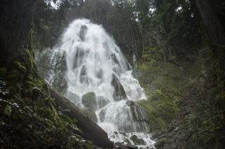 Moon FallsSource-reviewed route and parkingLane County, OR12 miW
- Spirit FallsRoute and parking documented; confirm current conditions.Lane County, OR14 miW
- Lillian FallsLane County, OR15 miE
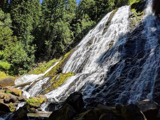 Diamond Creek FallsOfficial USFS trail and fee site documented120 ft (36.6 m) · Lane County, OR16 miSE
- Upper Trestle Creek FallsForest trail loop passing behind the fallsLane County, OR16 miSW
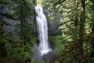 Salt Creek FallsResearched visit notes286 ft (87.2 m) · Lane County, OR16 miSE
- Fall Creek FallsWilderness trail to a signed viewpoint documented160 ft (48.8 m) · Lane County, OR17 miSE
- Brice Creek Falls13 ft (4 m) · Lane County, OR23 miW
- Rider Creek FallsLane County, OR23 miN