Upper Trestle Creek Falls
Lane County, Oregon
Your visit at a glance
- Waterfall height
- Not recorded
- Location
- Lane County, Oregon
- Access status
- Forest trail loop passing behind the falls
- The walk
- About 1.5 miles to the trail behind the falls; the full loop is 3.7 miles
- Ground & access
- Steady climb with a lot of poison oak on Trail #1403D. Logjams at the falls after storms. Trails are shared with mountain bikes.
Upper Trestle Creek Falls is a 65-foot tiered waterfall with a trail passing behind the highest tier, above Brice Creek. From the Champion Creek Trailhead, cross the road bridge over Brice Creek. Just past the bridge, pass Trail #1403 on the left and continue about 100 feet to Trail #1403D. Climb on #1403D; Trestle Creek comes into view after about 1.25 miles, and at about 1.5 miles the trail goes behind Upper Trestle Creek Falls. The trail then descends to Trail #1403. Turn left and follow Brice Creek back to the trailhead, with an optional 0.6-mile out-and-back side trip on Trail #1403C to Trestle Creek Falls.
Plan your visit
Champion Creek Trailhead on Brice Creek Road (FR 22), across the bridge to Upper Trestle Creek Trail #1403D
Oregon Hikers reaches the falls at about the 1.5-mile mark on Trail #1403D. Its 3.7-mile loop returns on the Brice Creek Trail #1403 and includes a side trip to Trestle Creek Falls.
Steady climb with a lot of poison oak on Trail #1403D. Logjams at the falls after storms. Trails are shared with mountain bikes.
Where to start
Champion Creek Trailhead on Brice Creek Road (FR 22), just before the bridge, 8.3 miles past the point where Brice Creek Road splits from Shoreview Drive east of Dorena Lake. Restrooms at the trailhead.
Timing & water
All year; best in spring when the falls are fullest. Crowded on summer weekends.
Before you go
Oregon Hikers lists no parking fee.
Visitor informationVisit sources
- Oregon Hikers Field Guide: Trestle Creek Loop Hike
- Oregon Hikers Field Guide: Trestle Creek Loop Hike
- Oregon Hikers Field Guide: Trestle Creek Loop Hike
- Oregon Hikers Field Guide: Trestle Creek Loop Hike
- Oregon Hikers Field Guide: Trestle Creek Loop Hike
- Oregon Hikers Field Guide: Trestle Creek Loop Hike
- Oregon Hikers Field Guide: Upper Trestle Creek Falls
More waterfalls nearby
Within 40 straight-line miles. Road and trail distances will differ.
- Spirit FallsRoute and parking documented; confirm current conditions.Lane County, OR5.5 miN
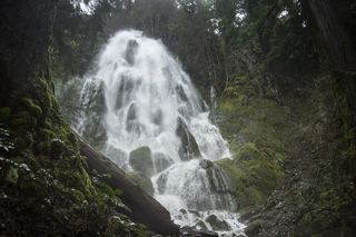 Moon FallsSource-reviewed route and parkingLane County, OR6.2 miN
- Brice Creek Falls13 ft (4 m) · Lane County, OR9.0 miW
- Salmon Creek FallsClosed for 2026; approach not verifiedLane County, OR16 miNE
- Fall Creek FallsResearched visit notesDouglas County, OR25 miS
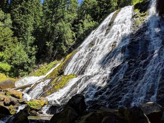 Diamond Creek FallsOfficial USFS trail and fee site documented120 ft (36.6 m) · Lane County, OR26 miE
- Fall Creek FallsWilderness trail to a signed viewpoint documented160 ft (48.8 m) · Lane County, OR26 miE
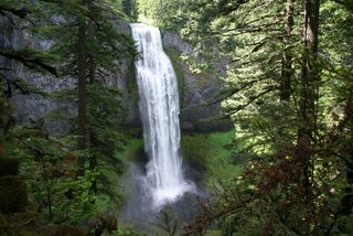 Salt Creek FallsResearched visit notes286 ft (87.2 m) · Lane County, OR26 miE
- Slide Creek FallsDouglas County, OR26 miS