Moon Falls
Lane County, Oregon
Your visit at a glance
- Waterfall height
- Not recorded
- Location
- Lane County, Oregon
- Access status
- Source-reviewed route and parking
- The walk
- 0.5 mile outward in two published segments
- Ground & access
- Closed road and old-growth forest trail; water supply watershed, keep the creek clean.
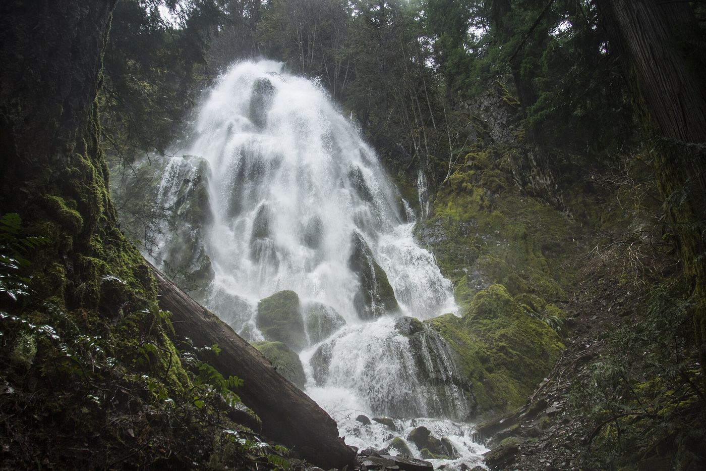
Follow the closed spur road for 0.3 mile and the forest trail for the final 0.2 mile to the base of Moon Falls.
Plan your visit
Moon Falls Trail #1423
The 0.3- and 0.2-mile segments describe the outward route. Three miles on the page describes visiting multiple different waterfalls.
Closed road and old-growth forest trail; water supply watershed, keep the creek clean.
Where to start
USFS identifies parking for three or four vehicles at the end of FR 1702-203. Keep turnaround space clear. Access is via Layng Creek Road 17, FR 1790, FR 1702 and FR 1702-728.
Timing & water
High flow after spring rain, decreasing through summer.
Before you go
Unknown: current fees or reservation requirements were not established in the reviewed source.
Visitor informationVisit sources
More waterfalls nearby
Within 40 straight-line miles. Road and trail distances will differ.
- Spirit FallsRoute and parking documented; confirm current conditions.Lane County, OR1.6 miW
- Upper Trestle Creek FallsForest trail loop passing behind the fallsLane County, OR6.2 miS
- Brice Creek Falls13 ft (4 m) · Lane County, OR11 miW
- Salmon Creek FallsClosed for 2026; approach not verifiedLane County, OR12 miE
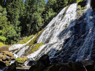 Diamond Creek FallsOfficial USFS trail and fee site documented120 ft (36.6 m) · Lane County, OR25 miE
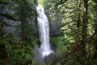 Salt Creek FallsResearched visit notes286 ft (87.2 m) · Lane County, OR26 miE
- Fall Creek FallsWilderness trail to a signed viewpoint documented160 ft (48.8 m) · Lane County, OR26 miSE
- Lillian FallsLane County, OR26 miE
- Rider Creek FallsLane County, OR30 miNE