Spirit Falls
Lane County, Oregon
Your visit at a glance
- Waterfall height
- Not recorded
- Location
- Lane County, Oregon
- Access status
- Route and parking documented; confirm current conditions.
- The walk
- 0.3 mile one way; approximately 0.6 mile return
- Ground & access
- Gradual descent with switchbacks; uphill return.
A forest trail descends to a waterfall and shallow pool in the Layng Creek municipal watershed.
Plan your visit
From the small turnout on Forest Road 1790, follow Spirit Falls Trail #1413 downhill with occasional switchbacks to the falls, then return uphill.
Oregon Hikers places the falls 0.3 mile from Spirit Falls Trailhead; the return estimate doubles that approach.
Gradual descent with switchbacks; uphill return.
Where to start
From Cottage Grove, follow Row River Road 19 miles to Layng Creek Road 17. Turn left and continue 8.8 miles, then right onto Forest Road 1790. The trailhead turnout is on the right after 0.1 mile.
Timing & water
The trailhead page is marked open. The trail page notes afternoon sunlight in late spring and summer; this is not an all-season access guarantee.
Before you go
Reservation and fee requirements unknown.
Visitor informationVisit sources
More waterfalls nearby
Within 40 straight-line miles. Road and trail distances will differ.
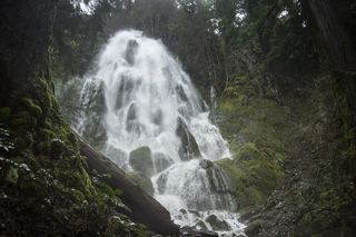 Moon FallsSource-reviewed route and parkingLane County, OR1.6 miE
- Upper Trestle Creek FallsForest trail loop passing behind the fallsLane County, OR5.5 miS
- Brice Creek Falls13 ft (4 m) · Lane County, OR9.0 miW
- Salmon Creek FallsClosed for 2026; approach not verifiedLane County, OR14 miE
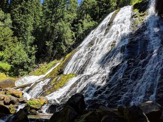 Diamond Creek FallsOfficial USFS trail and fee site documented120 ft (36.6 m) · Lane County, OR26 miE
- Fall Creek FallsWilderness trail to a signed viewpoint documented160 ft (48.8 m) · Lane County, OR27 miE
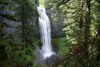 Salt Creek FallsResearched visit notes286 ft (87.2 m) · Lane County, OR27 miE
- Lillian FallsLane County, OR28 miE
- Fall Creek FallsResearched visit notesDouglas County, OR30 miS