Rough Rider Falls
Douglas County, Oregon
Your visit at a glance
- Waterfall height
- Not recorded
- Location
- Douglas County, Oregon
- Access status
- Upper Rogue River Trail hike; downed trees possible
- The walk
- About 5.5 trail miles from the trailhead
- Ground & access
- Gentle river trail through burned forest; expect possible downed trees. Steep ground on the scramble to the base, with a chance of wet feet.
Rough Rider Falls carries the full upper Rogue River about 30 feet into a mossy glen. From the Mount Mazama Viewpoint parking area on OR 230, the Upper Rogue River Trail leaves from the east end of the lot and follows the river downstream. Rough Rider Falls is the first waterfall you reach going downstream, and a sign on a tree marks it by name. The trail passes above the falls; a short, steep scramble path leads down to the base. Return the same way, or continue downstream to Hamaker Meadows with a car shuttle. A wildfire burned this section, and fallen trees have clogged the trail near the falls; Oregon Hikers suggests checking trail status with the High Cascades Ranger District in Prospect.
Plan your visit
Mount Mazama Viewpoint Trailhead on OR 230, downstream on the Upper Rogue River Trail #1034
Oregon Hikers places Rough Rider Falls at about trail mile 5.5 from the Mount Mazama Viewpoint; the Northwest Waterfall Survey says about 5 1/3 miles. These are one-way trail distances; no source gives a round-trip figure.
Gentle river trail through burned forest; expect possible downed trees. Steep ground on the scramble to the base, with a chance of wet feet.
Where to start
Mount Mazama (Crater Rim) Viewpoint parking area on OR 230, 18.5 miles from the OR 62 junction toward Diamond Lake. The trail starts at the east end of the parking area.
Timing & water
No season is stated. Check current trail conditions with the High Cascades Ranger District in Prospect.
Before you go
No fee is mentioned.
Visitor informationVisit sources
- Oregon Hikers Field Guide: Upper Rogue River Hikes
- Oregon Hikers Field Guide: Upper Rogue River Hikes
- Oregon Hikers Field Guide: Mount Mazama Viewpoint Trailhead
- Oregon Hikers Field Guide: Mount Mazama Viewpoint Trailhead
- Northwest Waterfall Survey: Rough Rider Falls
- Northwest Waterfall Survey: Rough Rider Falls
- Oregon Hikers Field Guide: Rough Rider Falls
More waterfalls nearby
Within 40 straight-line miles. Road and trail distances will differ.
- Alkali FallsMain waterfall approach and parking unconfirmed131 ft (40 m) · Douglas County, OR4.1 miW
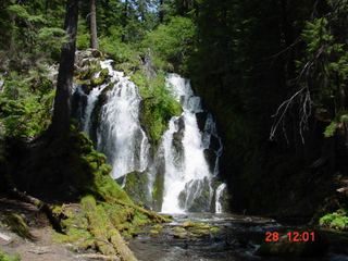 National FallsShort forest trail to the base of the fallsDouglas County, OR4.7 miSW
- FallsDouglas County, OR12 miW
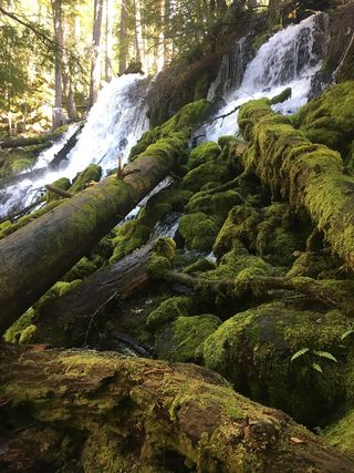 Clearwater FallsSource-reviewed route and parkingDouglas County, OR12 miN
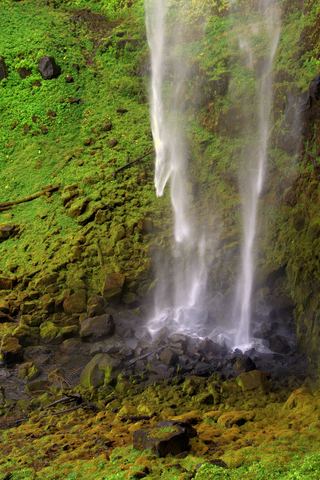 Watson FallsResearched walking route292 ft (89 m) · Douglas County, OR12 miNW
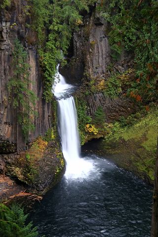 Toketee FallsResearched visit notes113 ft (34.4 m) · Douglas County, OR14 miNW
- Deer Lick FallsApproach or parking partly unconfirmedDouglas County, OR15 miW
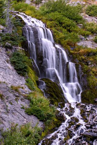 Vidae FallsPartial guide: roadside falls on East Rim Drive, which closes each winter and has a construction closure listed115 ft (35 m) · Klamath County, OR17 miSE
- Duwee Falls98 ft (30 m) · Klamath County, OR17 miSE