Nob falls
Jackson County, Oregon
Your visit at a glance
- Waterfall height
- Not recorded
- Location
- Jackson County, Oregon
- Access status
- River trail from the Natural Bridge day use area
- The walk
- About a mile (Oregon Hikers) to just under 1 1/2 miles (Northwest Waterfall Survey) one way
- Ground & access
- Well maintained, mostly level river trail. Rocks below the falls.
This listing's coordinates match Knob Falls, a 15-foot vertical drop where the Rogue River squeezes through a basalt chasm at a sharp bend. From the Natural Bridge day use area, a paved trail leaves the parking lot and crosses a bridge over the Rogue River below the Natural Bridge. Follow the Upper Rogue River Trail #1034 downstream (signed for Woodruff Bridge) to the obvious rock knob where the river bends 180 degrees; a path follows the promontory to the falls. Return the same way.
Plan your visit
Natural Bridge day use area off Highway 62, Upper Rogue River Trail #1034 downstream to Knob Falls
Oregon Hikers places Knob Falls about a mile from the Natural Bridge Trailhead; the Northwest Waterfall Survey says just under 1 1/2 miles on the Upper Rogue Trail signed for Woodruff Bridge. The figures differ.
Well maintained, mostly level river trail. Rocks below the falls.
Where to start
Natural Bridge Viewpoint and day use area, 0.7 miles in on FR 300 off Highway 62, with vault toilets and picnic tables.
Timing & water
Oregon Hikers lists the Upper Rogue River Trail season as May to November.
Before you go
No fee is mentioned.
Visitor informationVisit sources
More waterfalls nearby
Within 40 straight-line miles. Road and trail distances will differ.
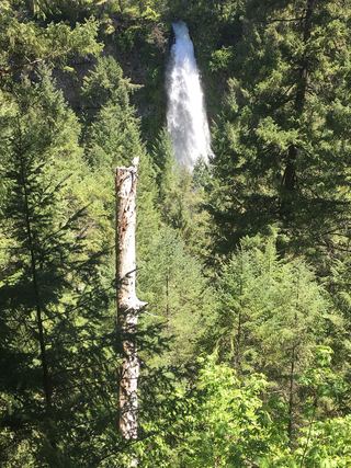 Mill Creek FallsScenic area trail to a clifftop view documented173 ft (52.7 m) · Jackson County, OR9.6 miS
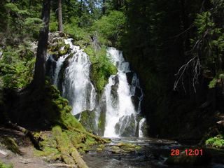 National FallsShort forest trail to the base of the fallsDouglas County, OR13 miNE
- FallsDouglas County, OR14 miN
- Red Blanket FallsUnmaintained wilderness trail to a frontal view of the fallsKlamath County, OR14 miSE
- Alkali FallsMain waterfall approach and parking unconfirmed131 ft (40 m) · Douglas County, OR14 miNE
- Stuart FallsUnmaintained wilderness trail to a camp at the fallsKlamath County, OR15 miE
- Duwee Falls98 ft (30 m) · Klamath County, OR17 miE
- Rumley fallsJackson County, OR17 miSW
- Rough Rider FallsUpper Rogue River Trail hike; downed trees possibleDouglas County, OR17 miNE