Stuart Falls
Klamath County, Oregon
Your visit at a glance
- Waterfall height
- Not recorded
- Location
- Klamath County, Oregon
- Access status
- Unmaintained wilderness trail to a camp at the falls
- The walk
- 8.9 miles round trip
- Ground & access
- Abandoned trail with rubble gully crossings, dozens of downed trees and thick brush; the tread is easy to lose at switchbacks and in boggy thickets. Burned forest. Not passable for horses.
Stuart Falls is a 40-foot veil waterfall on the North Fork of Red Blanket Creek in the Sky Lakes Wilderness, just south of Crater Lake National Park. From the Red Blanket Trailhead, follow the unmaintained Red Blanket Trail up Red Blanket Creek past Red Blanket Falls. At the junction with the Red Blanket Falls Trail, keep left to turn up the North Fork, and keep left on the Stuart Falls Trail at the next junction. At a sign for a stock holding area, take the spur to the right to Stuart Falls Camp, where the falls splash down a rock face. Return the same way.
Plan your visit
Red Blanket Trailhead east of Prospect, unmaintained Red Blanket and Stuart Falls trails to Stuart Falls Camp
Oregon Hikers gives 8.9 miles round trip, out and back, from the Red Blanket Trailhead to Stuart Falls.
Abandoned trail with rubble gully crossings, dozens of downed trees and thick brush; the tread is easy to lose at switchbacks and in boggy thickets. Burned forest. Not passable for horses.
Where to start
Red Blanket Trailhead at the end of the road east of Prospect: from Prospect take Red Blanket Road, keep left on gravel FR 6205 (Matson Mill Road) for 4.0 miles, bear right at the seasonal road closure sign, and drive 7.8 miles to the end of the road.
Timing & water
The access road is closed to vehicles December 1 to April 15 and may not be cleared until well after snowmelt. The falls lose much of their volume after snowmelt.
Before you go
No fee is mentioned. Wilderness rules apply.
Visitor informationVisit sources
- Oregon Hikers Field Guide: Stuart Falls Hike
- Oregon Hikers Field Guide: Stuart Falls Hike
- Oregon Hikers Field Guide: Stuart Falls Hike
- Oregon Hikers Field Guide: Stuart Falls Hike
- Oregon Hikers Field Guide: Stuart Falls Hike
- Oregon Hikers Field Guide: Stuart Falls
- Oregon Hikers Field Guide: Red Blanket Trailhead
More waterfalls nearby
Within 40 straight-line miles. Road and trail distances will differ.
- Red Blanket FallsUnmaintained wilderness trail to a frontal view of the fallsKlamath County, OR0.9 miSW
- Annie FallsRoadside picnic area view into the canyon; partial view through trees52 ft (16 m) · Klamath County, OR5.2 miE
- Duwee Falls98 ft (30 m) · Klamath County, OR5.6 miNE
- Ranger FallsKlamath County, OR8.1 miS
- Bailey FallsKlamath County, OR8.1 miS
- Seven Lakes FallsKlamath County, OR8.2 miS
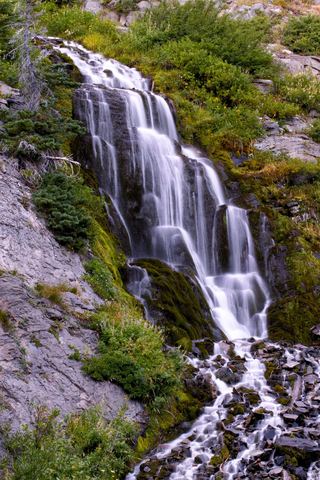 Vidae FallsPartial guide: roadside falls on East Rim Drive, which closes each winter and has a construction closure listed115 ft (35 m) · Klamath County, OR8.2 miNE
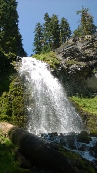 Plaikni FallsNormal road access closedKlamath County, OR11 miNE
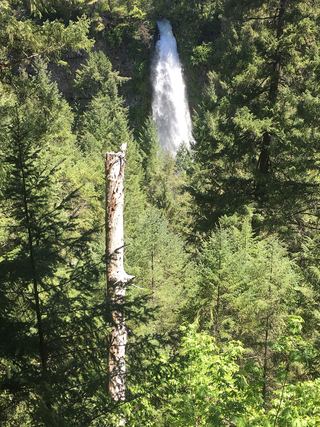 Mill Creek FallsScenic area trail to a clifftop view documented173 ft (52.7 m) · Jackson County, OR15 miW