Henline Falls
Marion County, Oregon
Your visit at a glance
- Waterfall height
- Not recorded
- Location
- Marion County, Oregon
- Access status
- Trailhead closed by October 21, 2026 order; partial parking details
- The walk
- Distance not stated
- Ground & access
- Forest trail in a burned area; slippery rocks, uneven ground and steep drop-offs near the falls.
Closed access: Henline Falls Trail ends at the waterfall, but its trailhead is explicitly closed by the current forest order.
Plan your visit
Henline Falls Trail #3348 from Henline Falls Trailhead
The half-mile figure on the source describes the Ogle Mountain junction, not the full falls route.
Forest trail in a burned area; slippery rocks, uneven ground and steep drop-offs near the falls.
Where to start
Trailhead is beyond the FR 2207 junction on North Fork Road. Entering the closed trailhead is prohibited.
Timing & water
Checked 2026-10-27: Order 06-18-04-26-14 explicitly closes Henline Falls Trailhead from October 21, 2026 through October 20, 2027 unless rescinded.
Before you go
Seasonal self-issued wilderness permits are listed for June 15–October 15. A permit does not override the closure.
Visitor informationVisit sources
More waterfalls nearby
Within 40 straight-line miles. Road and trail distances will differ.
- Sullivan Creek FallsPartial guide: roadside falls behind a road closed to motor vehiclesMarion County, OR3.7 miE
- Sawmill FallsMarion County, OR5.4 miE
- Flume Creek FallsMarion County, OR6.8 miE
- Marten Buttes Falls364 ft (111 m) · Marion County, OR8.8 miSE
- Tumble FallsForest trail to the lake outlet at the top of the fallsMarion County, OR9.1 miSE
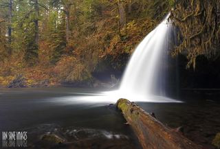 Upper Butte Creek FallsShort state forest trail to a walk-behind waterfall26 ft (8 m) · Clackamas County, OR9.8 miNW
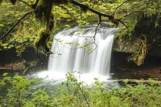 Butte Creek FallsSigned state forest trail and trailhead documented79 ft (24 m) · Clackamas County, OR9.9 miNW
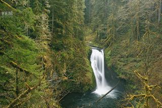 Lower Butte Creek FallsClackamas County, OR9.9 miNW
- Pegleg FallsApproach or parking partly unconfirmedClackamas County, OR11 miNE