Sullivan Creek Falls
Marion County, Oregon
Your visit at a glance
- Waterfall height
- Not recorded
- Location
- Marion County, Oregon
- Access status
- Partial guide: roadside falls behind a road closed to motor vehicles
- The walk
- Roadside view; walking distance from where vehicles must stop is not established
- Ground & access
- Roadside pool. An obscure, steep boot path climbs the left side toward the upper tiers.
Sullivan Creek Falls cascades well over 100 feet down to a pool right beside Forest Road 2207 above the Little North Santiam canyon. Road 2207 is closed to motor vehicles under a Willamette National Forest fire closure order, so the roadside parking area cannot be driven to. When the road reopens, the falls are about two miles past the upper Little North Santiam trailhead on Road 2207, with parking for four or five cars across the road.
Plan your visit
Forest Road 2207 roadside view of Sullivan Creek Falls
The falls are next to Road 2207 with a small parking area across the road. Because the road is closed to motor vehicles, no walking distance from an open road is established.
Roadside pool. An obscure, steep boot path climbs the left side toward the upper tiers.
Where to start
When open: small parking area with a message board across Road 2207 from the falls, room for four or five cars. Road 2207 is closed to motor vehicles under the Beachie Creek and Lionshead fires closure order.
Timing & water
Closed to vehicles under the fire closure order. Check Willamette National Forest Detroit Ranger District road status.
Before you go
No fee is mentioned.
Visitor informationVisit sources
More waterfalls nearby
Within 40 straight-line miles. Road and trail distances will differ.
- Sawmill FallsMarion County, OR1.8 miE
- Flume Creek FallsMarion County, OR3.1 miE
- Henline FallsTrailhead closed by October 21, 2026 order; partial parking detailsMarion County, OR3.7 miW
- Marten Buttes Falls364 ft (111 m) · Marion County, OR5.8 miSE
- Tumble FallsForest trail to the lake outlet at the top of the fallsMarion County, OR6.8 miS
- Pegleg FallsApproach or parking partly unconfirmedClackamas County, OR9.5 miNE
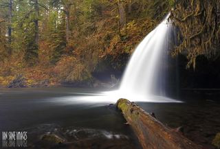 Upper Butte Creek FallsShort state forest trail to a walk-behind waterfall26 ft (8 m) · Clackamas County, OR13 miNW
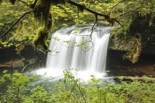 Butte Creek FallsSigned state forest trail and trailhead documented79 ft (24 m) · Clackamas County, OR13 miNW
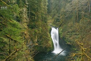 Lower Butte Creek FallsClackamas County, OR13 miNW