Upper Butte Creek Falls
Clackamas County, Oregon
Your visit at a glance
- Waterfall height
- 26 ft (8 m)
- Location
- Clackamas County, Oregon
- Access status
- Short state forest trail to a walk-behind waterfall
- The walk
- About 0.2 mile to the spur junction; the full loop with Butte Creek Falls is 1.1 miles
- Ground & access
- Wide, well-maintained trail with a short steep section. Wet rock behind the falls.
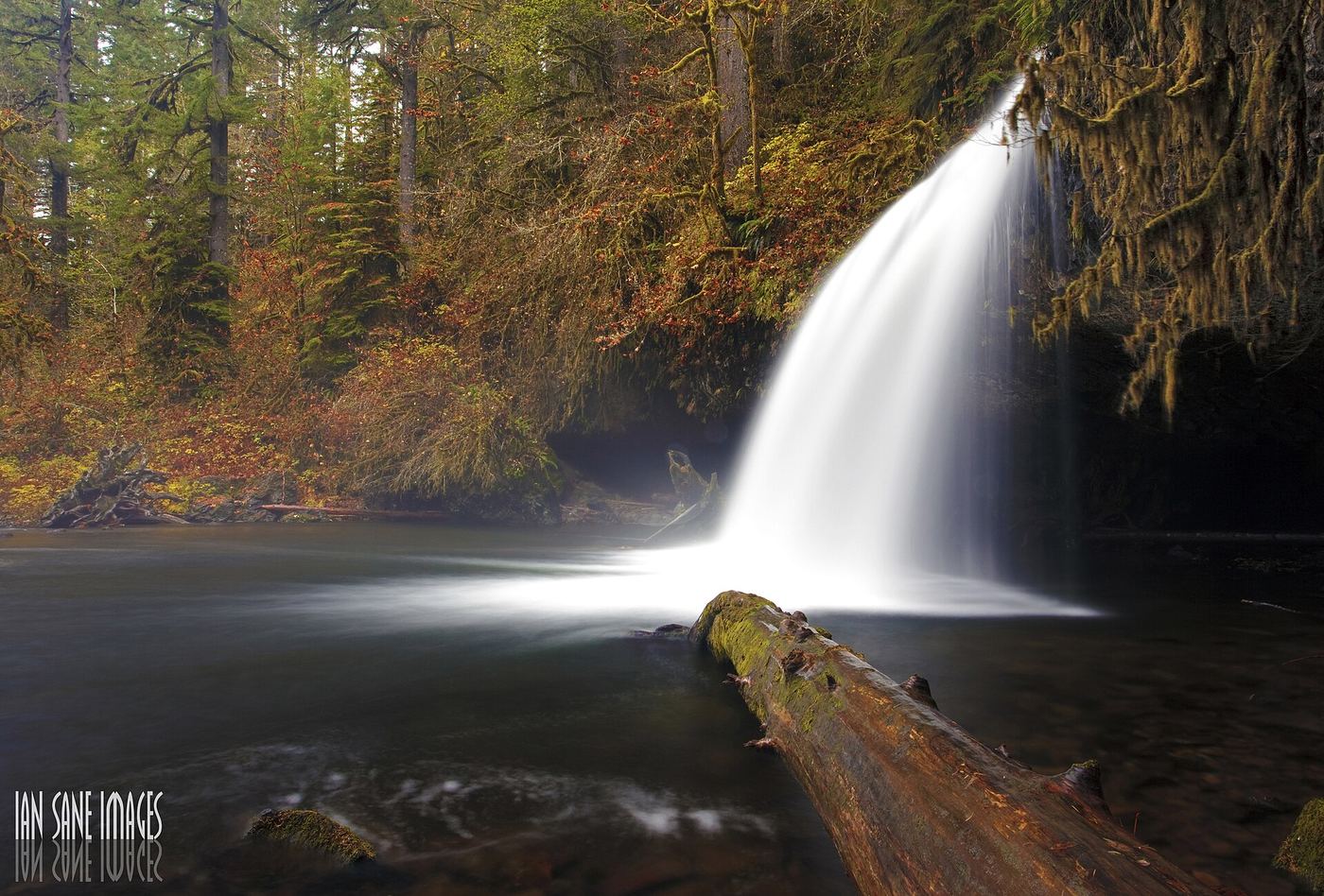
Upper Butte Creek Falls is a curtain of water over a wide, deeply undercut basalt ledge on Butte Creek east of Scotts Mills. From the trailhead, take the trail that starts down near the restroom and go left at the sign for the falls. The wide trail drops steeply for about 100 yards, then levels. At a signed junction in about 0.2 mile, turn sharp right below a wood retaining wall and follow the short spur to the falls. Paths usually lead behind the falls into the cavern. Return to the junction, then go back up to the trailhead or continue on the loop to the overlook of Butte Creek Falls.
Plan your visit
Butte Creek Falls Trailhead east of Scotts Mills, down the loop trail to the Upper Butte Creek Falls spur
Oregon Hikers reaches a signed junction in about 0.2 mile, then a short spur to Upper Butte Creek Falls. Its 1.1-mile loop also visits the larger Butte Creek Falls.
Wide, well-maintained trail with a short steep section. Wet rock behind the falls.
Where to start
Butte Creek Falls Trailhead, 0.6 mile past Butte Creek Campground. The old Crooked Finger Road approach is closed. From Scotts Mills, take Maple Grove Road and Sawtell Road, then the gravel Family Camp Road, following small signs for Butte Creek Falls. Do not rely on Google Maps here. Pit toilet and parking for several vehicles.
Timing & water
Year-round per Oregon Hikers. The approach roads cross private forest land and may be closed to the public in bad weather and during logging operations.
Before you go
No fee is mentioned.
Visitor informationVisit sources
- Oregon Hikers Field Guide: Butte Creek Falls Loop Hike
- Oregon Hikers Field Guide: Butte Creek Falls Loop Hike
- Oregon Hikers Field Guide: Butte Creek Falls Loop Hike
- Oregon Hikers Field Guide: Butte Creek Falls Trailhead
- Oregon Hikers Field Guide: Butte Creek Falls Trailhead
- Northwest Waterfall Survey: Upper Butte Creek Falls
- Northwest Waterfall Survey: Upper Butte Creek Falls
More waterfalls nearby
Within 40 straight-line miles. Road and trail distances will differ.
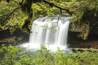 Butte Creek FallsSigned state forest trail and trailhead documented79 ft (24 m) · Clackamas County, OR0.1 miNW
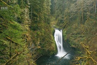 Lower Butte Creek FallsClackamas County, OR0.1 miNW
- Upper Abiqua FallsMarion County, OR2.4 miW
- Abiqua FallsPartial guide: private land open to the public by the owners; rough unofficial path; state purchase pending92 ft (28 m) · Marion County, OR2.8 miW
- Upper North FallsSigned state park trail to the base documented66 ft (20 m) · Marion County, OR5.7 miSW
- North FallsState park trail and stairs behind the falls135 ft (41 m) · Marion County, OR6.0 miSW
- Twin FallsState park trail to a side view of the falls30 ft (9 m) · Marion County, OR6.7 miW
- Middle North FallsState park trail with a side trail behind the falls105 ft (32 m) · Marion County, OR6.9 miW
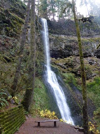 Winter FallsState park trail from a highway trailhead to the base of the falls135 ft (41 m) · Marion County, OR6.9 miW