Twin Falls
Marion County, Oregon
Your visit at a glance
- Waterfall height
- 30 ft (9 m)
- Location
- Marion County, Oregon
- Access status
- State park trail to a side view of the falls
- The walk
- Half a mile to the Canyon Trail junction, then about a third of a mile
- Ground & access
- Steep descent on the Winter Trail, then a maintained canyon trail. The return climbs back up.
Twin Falls drops about 31 feet on the North Fork Silver Creek, often split in two by a large block of rock. From the Winter Falls Trailhead, take the Winter Trail down past Winter Falls to the bridge over the North Fork and the Canyon Trail junction. Turn right (upstream) on the Canyon Trail. A short loop off the trail leads to a side view of the falls. Trees hem in most views, and in dry summers only one channel flows and can be hard to see. Return the same way.
Plan your visit
Winter Falls Trailhead, Winter Trail to the Canyon Trail, then upstream to the Twin Falls side view
Northwest Waterfall Survey: half a mile from the Winter Falls Trailhead to the Canyon Trail junction, then about a third of a mile upstream to Twin Falls. Return the same way.
Steep descent on the Winter Trail, then a maintained canyon trail. The return climbs back up.
Where to start
Winter Falls Trailhead pullout on Highway 214 inside Silver Falls State Park.
Timing & water
Silver Falls State Park is open for day use year-round. In dry summers only one channel of the falls flows.
Before you go
Oregon State Parks: a day-use parking permit is required; a 1-day permit can be bought on site. Oregon Hikers lists the fee as $10 or a State Park Pass. No pets on the Canyon, Winter Falls and Maple Ridge trails.
Visitor informationVisit sources
More waterfalls nearby
Within 40 straight-line miles. Road and trail distances will differ.
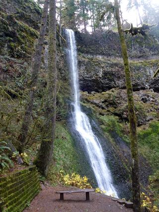 Winter FallsState park trail from a highway trailhead to the base of the falls135 ft (41 m) · Marion County, OR0.2 miW
- Middle North FallsState park trail with a side trail behind the falls105 ft (32 m) · Marion County, OR0.4 miNW
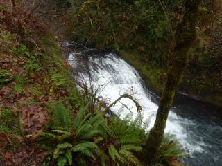 Drake FallsState park trail to a viewing deck documented26 ft (8 m) · Marion County, OR0.5 miNW
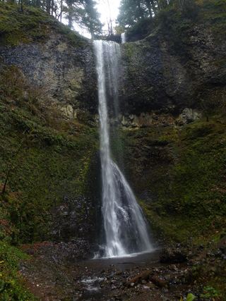 Double FallsState park trail to the base of the falls184 ft (56 m) · Marion County, OR0.6 miNW
- Lower North FallsState park trail via the Winter Trail and Canyon Trail30 ft (9 m) · Marion County, OR0.6 miNW
- North FallsState park trail and stairs behind the falls135 ft (41 m) · Marion County, OR0.7 miE
- Frenchie FallsSigned state park spur to a seasonal falls documentedMarion County, OR1.1 miW
- Upper North FallsSigned state park trail to the base documented66 ft (20 m) · Marion County, OR1.1 miE
- South FallsPaved rim view and short loop behind the falls177 ft (54 m) · Marion County, OR1.1 miSW