North Falls
Marion County, Oregon
Your visit at a glance
- Waterfall height
- 135 ft (41 m)
- Location
- Marion County, Oregon
- Access status
- State park trail and stairs behind the falls
- The walk
- About one-fifth of a mile to the trail behind the falls
- Ground & access
- Stone stairs and a wide trail through the cavern behind the falls; wet and slippery in places. No dogs on the canyon portion of the Trail of Ten Falls.
North Falls is a 136-foot plunge on North Silver Creek in Silver Falls State Park. From the North Falls Trailhead parking lot, cross the footbridge and bear left at the junction signed for North Falls and the Canyon Trail. The trail passes a clifftop view looking down on the falls, descends flights of stone stairs, and goes through the huge recess behind the falls. Return the same way, or continue down the Canyon Trail. The North Rim Trail, which runs west from the parking area, has a fenced viewing area that looks toward North Falls.
Plan your visit
North Falls Trailhead on OR 214 in Silver Falls State Park, Canyon Trail down the stairs and behind the falls
The Northwest Waterfall Survey says the trail passes behind the falls about one-fifth of a mile from the parking lot. It is a one-way figure.
Stone stairs and a wide trail through the cavern behind the falls; wet and slippery in places. No dogs on the canyon portion of the Trail of Ten Falls.
Where to start
North Falls Trailhead parking area on the right side of OR 214, about 14 miles from Silverton.
Timing & water
Flows all year. In the rainy season the falls split into two side-by-side spouts.
Before you go
A day-use fee or State Park Pass is required. Oregon Hikers gives $10 in its fee listing and $5 in its driving directions.
Visitor informationVisit sources
- Northwest Waterfall Survey: North Falls
- Northwest Waterfall Survey: North Falls
- Oregon Hikers Field Guide: North Falls Trailhead
- Oregon Hikers Field Guide: North Falls Trailhead
- Oregon Hikers Field Guide: North Falls Trailhead
- Oregon Hikers Field Guide: North Falls Trailhead
- Oregon Hikers Field Guide: North Canyon Loop Hike
- Oregon Hikers Field Guide: North Canyon Loop Hike
More waterfalls nearby
Within 40 straight-line miles. Road and trail distances will differ.
- Upper North FallsSigned state park trail to the base documented66 ft (20 m) · Marion County, OR0.4 miE
- Twin FallsState park trail to a side view of the falls30 ft (9 m) · Marion County, OR0.7 miW
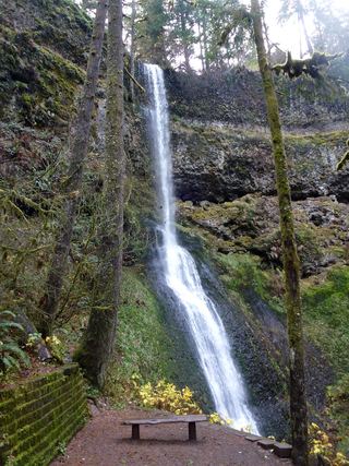 Winter FallsState park trail from a highway trailhead to the base of the falls135 ft (41 m) · Marion County, OR0.9 miW
- Middle North FallsState park trail with a side trail behind the falls105 ft (32 m) · Marion County, OR1.1 miW
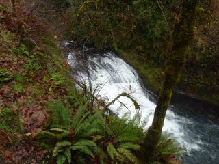 Drake FallsState park trail to a viewing deck documented26 ft (8 m) · Marion County, OR1.2 miW
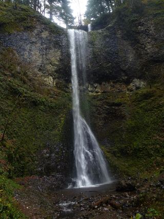 Double FallsState park trail to the base of the falls184 ft (56 m) · Marion County, OR1.2 miNW
- Lower North FallsState park trail via the Winter Trail and Canyon Trail30 ft (9 m) · Marion County, OR1.3 miW
- Frenchie FallsSigned state park spur to a seasonal falls documentedMarion County, OR1.8 miW
- South FallsPaved rim view and short loop behind the falls177 ft (54 m) · Marion County, OR1.8 miW