Abiqua Falls
Marion County, Oregon
Your visit at a glance
- Waterfall height
- 92 ft (28 m)
- Location
- Marion County, Oregon
- Access status
- Partial guide: private land open to the public by the owners; rough unofficial path; state purchase pending
- The walk
- About 0.8 mile round trip
- Ground & access
- Unsigned, rough and very steep path. Oregon Hikers warns that people have fallen here and that the slope is treacherous when wet. News reporting describes ropes tied to trees along the trail. Not recommended for dogs or children.
Abiqua Falls is on private land owned by Mount Angel Abbey and Longview Timberlands, which allow public access. From the parking area at the gate, walk back along the road about 100 feet and take the second trail dropping down to the right. Descend steeply for 0.2 mile to Abiqua Creek, then turn left and follow a rough path upstream for about 0.2 mile over rocks and logs to the basalt bowl at the base of the falls. Return the same way. Oregon State Parks is buying the property, and access rules may change when the sale closes.
Plan your visit
Locked gate parking on road CF300 to the base of Abiqua Falls
Oregon Hikers gives 0.8 mile round trip with 180 feet of elevation gain, out and back from the parking area at the locked gate.
Unsigned, rough and very steep path. Oregon Hikers warns that people have fallen here and that the slope is treacherous when wet. News reporting describes ropes tied to trees along the trail. Not recommended for dogs or children.
Where to start
From Scotts Mills, drive Crooked Finger Road 9.5 miles to the end of pavement, then 1.4 miles on gravel to road CF300 on the right. Follow CF300 through a gate, always going straight and downhill, about 2.5 miles to a locked gate, and park in a wide spot on the left. High clearance and four-wheel drive may be needed. Do not rely on phone map directions here.
Timing & water
Oregon Hikers lists the hike as all year, but the gravel approach is difficult in wet weather.
Before you go
No fee is mentioned.
Visitor informationVisit sources
More waterfalls nearby
Within 40 straight-line miles. Road and trail distances will differ.
- Upper Abiqua FallsMarion County, OR0.5 miSE
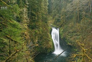 Lower Butte Creek FallsClackamas County, OR2.7 miE
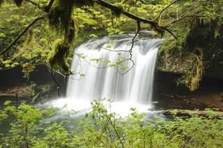 Butte Creek FallsSigned state forest trail and trailhead documented79 ft (24 m) · Clackamas County, OR2.7 miE
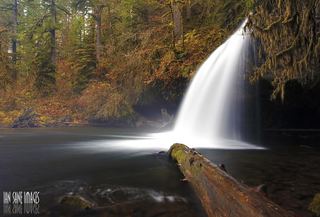 Upper Butte Creek FallsShort state forest trail to a walk-behind waterfall26 ft (8 m) · Clackamas County, OR2.8 miE
- Upper North FallsSigned state park trail to the base documented66 ft (20 m) · Marion County, OR3.8 miSW
- North FallsState park trail and stairs behind the falls135 ft (41 m) · Marion County, OR3.9 miSW
- Twin FallsState park trail to a side view of the falls30 ft (9 m) · Marion County, OR4.4 miSW
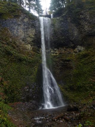 Double FallsState park trail to the base of the falls184 ft (56 m) · Marion County, OR4.5 miSW
- Middle North FallsState park trail with a side trail behind the falls105 ft (32 m) · Marion County, OR4.5 miSW