Tumble Falls
Marion County, Oregon
Your visit at a glance
- Waterfall height
- Not recorded
- Location
- Marion County, Oregon
- Access status
- Forest trail to the lake outlet at the top of the falls
- The walk
- 4.0 miles round trip to Tumble Lake, plus a short faint path to the outlet
- Ground & access
- Steep switchbacks, a scramble in a rocky stream bed and steep meadows. The area burned in a wildfire; expect downed trees and debris. Mossy ledges at the brink; stay back from the edge.
Tumble Falls is where Tumble Creek pours over a cliff from the outlet of Tumble Lake, high above Detroit Lake. From the Tumble Lake Trailhead, climb a short embankment and walk east along the ridge about half a mile to the Tumble Ridge-Tumble Lake Trail Junction. Turn right and descend forested switchbacks, a short scramble down a rocky stream bed, and two steep meadows to the lake. Follow a faint user trail south and along the outlet stream to mossy rock ledges, where the water disappears over the cliff edge. This view is from the top of the falls; the sources do not describe a view of the full drop. Return the same way, climbing back to the ridge.
Plan your visit
Tumble Lake Trailhead on FR 2223 above Detroit, trail down to Tumble Lake, then a faint path to the outlet at the top of the falls
Oregon Hikers gives 4.0 miles round trip, out and back, to Tumble Lake. The faint path from the lake to the outlet adds a short distance that no source measures.
Steep switchbacks, a scramble in a rocky stream bed and steep meadows. The area burned in a wildfire; expect downed trees and debris. Mossy ledges at the brink; stay back from the edge.
Where to start
Small pullout on FR 2223 (French Creek Road): from OR 22 in Detroit, turn onto French Creek Road, keep left at 4.1 miles where it turns to gravel, and drive 3.9 more miles to a pullout on the right. The trailhead may be unsigned; if you reach a junction, you have gone too far.
Timing & water
Oregon Hikers lists June to November.
Before you go
No fee is mentioned.
Visitor informationVisit sources
- Oregon Hikers Field Guide: Tumble Lake Hike
- Oregon Hikers Field Guide: Tumble Lake Hike
- Oregon Hikers Field Guide: Tumble Lake Hike
- Oregon Hikers Field Guide: Tumble Lake Hike
- Oregon Hikers Field Guide: Tumble Lake Hike
- Oregon Hikers Field Guide: Tumble Lake Hike
- Oregon Hikers Field Guide: Tumble Lake Hike
More waterfalls nearby
Within 40 straight-line miles. Road and trail distances will differ.
- Marten Buttes Falls364 ft (111 m) · Marion County, OR2.3 miNE
- Flume Creek FallsMarion County, OR6.6 miN
- Sullivan Creek FallsPartial guide: roadside falls behind a road closed to motor vehiclesMarion County, OR6.8 miN
- Sawmill FallsMarion County, OR7.1 miN
- Henline FallsTrailhead closed by October 21, 2026 order; partial parking detailsMarion County, OR9.1 miNW
- Pegleg FallsApproach or parking partly unconfirmedClackamas County, OR15 miN
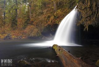 Upper Butte Creek FallsShort state forest trail to a walk-behind waterfall26 ft (8 m) · Clackamas County, OR19 miNW
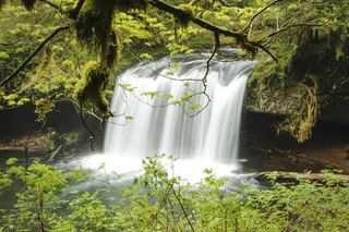 Butte Creek FallsSigned state forest trail and trailhead documented79 ft (24 m) · Clackamas County, OR19 miNW
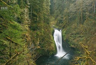 Lower Butte Creek FallsClackamas County, OR19 miNW