Ramona Falls
Clackamas County, Oregon
Your visit at a glance
- Waterfall height
- 120 ft (36.5 m)
- Location
- Clackamas County, Oregon
- The walk
- 7 miles round trip
- Ground & access
- An unbridged glacial river crossing has strong currents. Turn back if unsafe; the Forest Service discourages this route for children and pets.
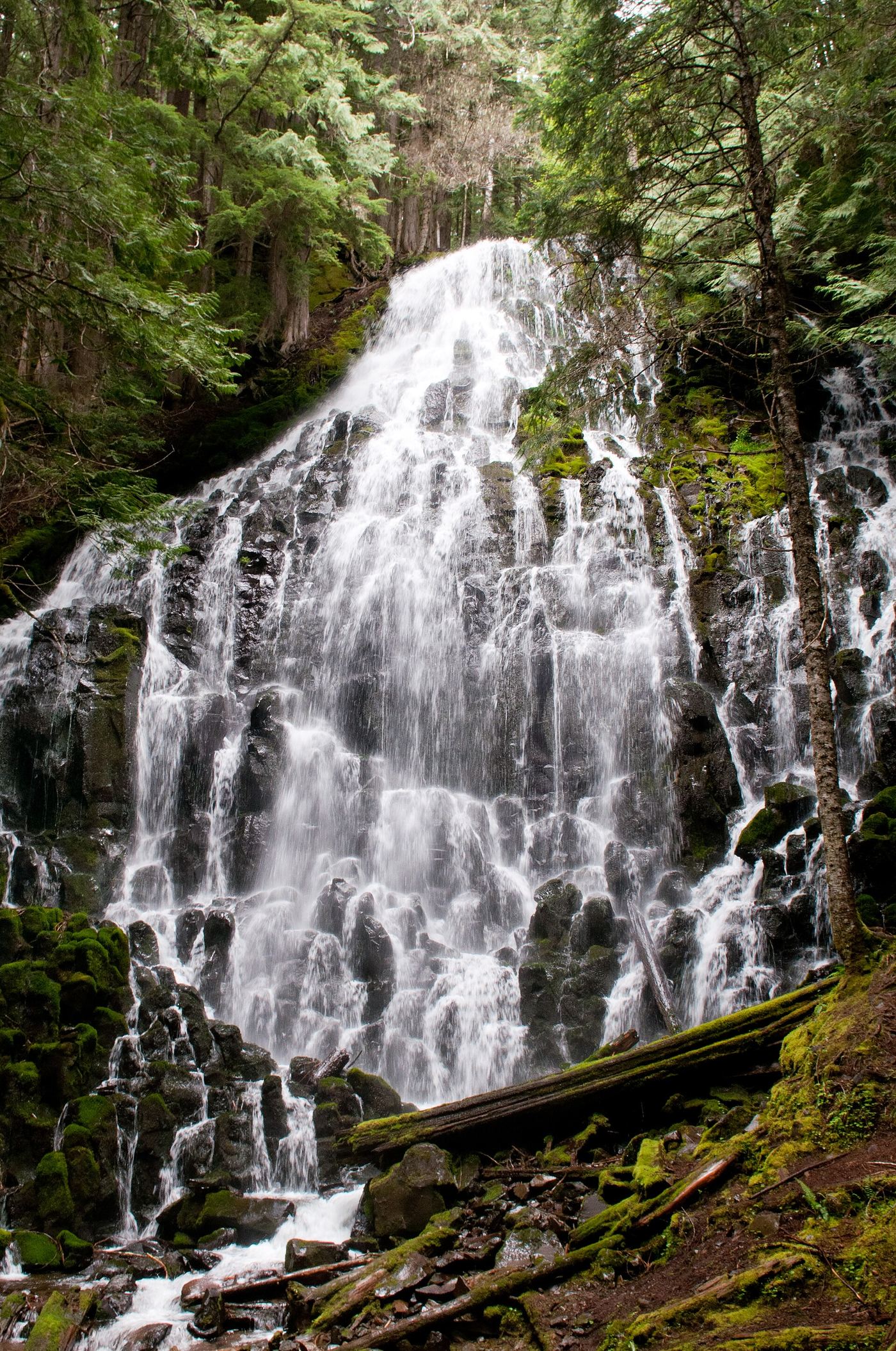
Follow Sandy River Trail into Mount Hood Wilderness and connect with the Ramona Falls loop.
Plan your visit
Ramona Falls loop from Sandy River Trail
The Forest Service gives 3.5 miles to the falls and 7 miles for the complete trip.
An unbridged glacial river crossing has strong currents. Turn back if unsafe; the Forest Service discourages this route for children and pets.
Where to start
Use the large Ramona Falls trailhead lot off FR 1825-024. The rough approach favors high-clearance vehicles; summer weekends fill quickly.
Timing & water
The gate normally opens April 1, later if snow persists. Exposed sections require sun protection and water.
Before you go
$5 per vehicle or accepted recreation pass May 1–October 31. Seasonal self-issued wilderness permits apply; follow posted instructions.
Visitor informationVisit sources
More waterfalls nearby
Within 40 straight-line miles. Road and trail distances will differ.
- Sandy River FallsClackamas County, OR1.0 miSE
- Paradise Branch Falls246 ft (75 m) · Clackamas County, OR1.4 miSE
- Yocum Ridge FallsPartial guide: distant view from the Muddy Fork; name match to this listing is probable394 ft (120 m) · Clackamas County, OR1.8 miE
- McGee Creek FallsClackamas County, OR2.3 miNE
- Eden Park FallsHood River County, OR3.0 miNE
- Mimie FallsClackamas County, OR4.7 miSE
- Little Zigzag FallsResearched route and starting areaClackamas County, OR4.7 miS
- Middle Mimie FallsClackamas County, OR4.8 miSE
- Coe FallsHood River County, OR4.9 miNE