Yocum Ridge Falls
Clackamas County, Oregon
Your visit at a glance
- Waterfall height
- 394 ft (120 m)
- Location
- Clackamas County, Oregon
- Access status
- Partial guide: distant view from the Muddy Fork; name match to this listing is probable
- The walk
- 5.4 miles round trip to the Muddy Fork viewpoint
- Ground & access
- Trail climbing steeply at first, then traversing open meadows and descending to a rocky debris-flow area by the Muddy Fork. The Muddy Fork crossing itself can require a ford; you do not need to cross to see the falls.
This listing is on the north side of Yocum Ridge on Mount Hood. The WyEast Blog describes a trio of unnamed seasonal waterfalls that fall from a cirque on the northern shoulder of Yocum Ridge into the Muddy Fork canyon, and calls them the Yocum Ridge Waterfalls. That they are the same feature as this listing is probable but not confirmed by a source with coordinates. From Top Spur Trailhead, climb 0.4 mile to the Pacific Crest Trail, turn right, then right again at the four-way junction onto the Timberline Trail toward the Muddy Fork. Pass the Bald Mountain junctions and descend gradually to the Muddy Fork. The blog recommends viewing the falls from the boulders on the old debris flow at the crossing. Return the same way.
Plan your visit
Top Spur Trailhead, Pacific Crest Trail and Timberline Trail to the Muddy Fork crossing, with a view across the canyon to the Yocum Ridge waterfalls
The WyEast Blog gives 5.4 miles round trip from Top Spur Trailhead for this viewing hike. The falls are seen from across the Muddy Fork canyon; there is no trail to their base.
Trail climbing steeply at first, then traversing open meadows and descending to a rocky debris-flow area by the Muddy Fork. The Muddy Fork crossing itself can require a ford; you do not need to cross to see the falls.
Where to start
Top Spur Trailhead at the end of gravel Road 118, reached from Lolo Pass Road and Road 1828 or Road 1825. Oregon Hikers warns of potholes, washboards and one-lane sections.
Timing & water
The waterfalls depend on snowmelt. The WyEast Blog says they are best in early summer, usually late June or July when the trails open, and can disappear by autumn in dry years.
Before you go
No fee is mentioned in the route source. The Oregon Hikers trailhead page notes that a Northwest Forest Pass and wilderness permit were not required in its most recent season note; check current rules before you go.
Visitor informationVisit sources
More waterfalls nearby
Within 40 straight-line miles. Road and trail distances will differ.
- Sandy River FallsClackamas County, OR1.3 miSW
- McGee Creek FallsClackamas County, OR1.4 miN
- Paradise Branch Falls246 ft (75 m) · Clackamas County, OR1.5 miSW
- Eden Park FallsHood River County, OR1.8 miN
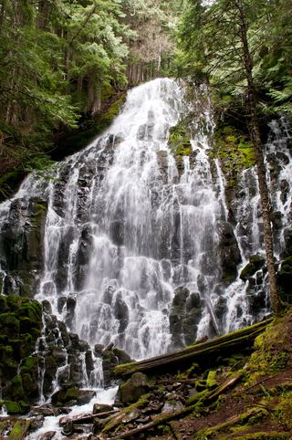 Ramona FallsResearched visit notes120 ft (36.5 m) · Clackamas County, OR1.8 miW
- Coe FallsHood River County, OR3.2 miNE
- Kalakwahtie FallsHood River County, OR3.3 miNE
- Cooper Spur FallsHood River County, OR3.4 miE
- Wallalute FallsHood River County, OR3.6 miNE