Alsea Falls
Benton County, Oregon
Your visit at a glance
- Waterfall height
- Not recorded
- Location
- Benton County, Oregon
- Access status
- Short walk and steps from the day-use area; seasonal gate
- The walk
- Short walk with steps from the day-use area; no separate distance is given
- Ground & access
- Short track and wooden steps beside the river. Rock benches near the falls; some viewpoints can be flooded at high water.
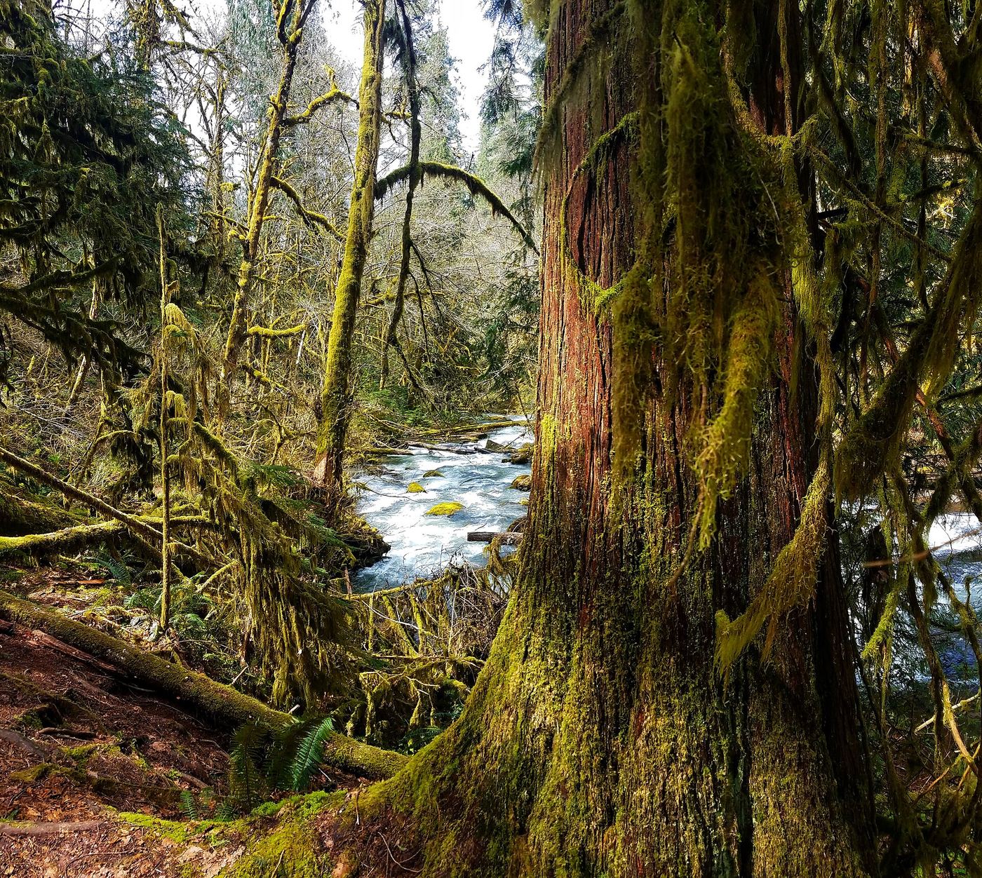
Photo credit
Photo: BLM Oregon & Washington, Public domain, via Wikimedia CommonsAlsea Falls is a 30-foot cascade in the Bureau of Land Management Alsea Falls Recreation Site. Walk down the road from the day-use area entrance. You will see a footbridge across the river; do not cross it. Take the track along the river to your left and go down steps to the base of the falls. Return to the footbridge for a view of the top of the falls. The trail continues along the river toward Green Peak Falls, which is reached through the private McBee Park campground.
Plan your visit
Alsea Falls Recreation Site day-use area to the base of Alsea Falls on the South Fork Alsea River
Oregon Hikers gives no separate distance from the day-use area to the base of Alsea Falls. Its longer hike to both Alsea Falls and Green Peak Falls is 4.2 miles round trip.
Short track and wooden steps beside the river. Rock benches near the falls; some viewpoints can be flooded at high water.
Where to start
Day-use (picnic) area on South Fork Alsea Road, 0.5 mile past the campground turnoff. The gate is closed in winter; park to the side of the gate without blocking it.
Timing & water
BLM says day use is open year round. Oregon Hikers says the day-use and campground areas are open mid-May to September 30 and the gate is closed in winter. Flow is strongest from late fall to mid-summer; the pool is crowded on summer weekends.
Before you go
When the day-use area is open, Oregon Hikers lists a $5 day-use fee, or a BLM Northwest Oregon Pass or America the Beautiful Pass.
Visitor informationVisit sources
More waterfalls nearby
Within 40 straight-line miles. Road and trail distances will differ.
- Green Peak FallsTrail from a signed park parking area documentedBenton County, OR0.7 miN
- Waters of MormonBenton County, OR3.9 miE
- Upper Kentucky FallsForest trail to a viewpoint and the base documented289 ft (88 m) · Douglas County, OR32 miSW
- North Fork FallsForest trail to a viewing deck and creek view documented410 ft (125 m) · Douglas County, OR32 miSW
- Lower Kentucky FallsForest trail to a viewing deck at the base384 ft (117 m) · Douglas County, OR32 miSW
- Homestead FallsLane County, OR33 miSW
- Punchbowl Canyon FallsLane County, OR33 miSW
- Annice FallsLane County, OR33 miSW
- Elk Wallow FallsLane County, OR33 miSW