Lower Kentucky Falls
Douglas County, Oregon
Your visit at a glance
- Waterfall height
- 384 ft (117 m)
- Location
- Douglas County, Oregon
- Access status
- Forest trail to a viewing deck at the base
- The walk
- 2 miles one way per the Northwest Waterfall Survey; 4.0 miles round trip per Oregon Hikers
- Ground & access
- Well graded trail with exposed, unguarded cliff sections; about 650 feet to regain on the way out.
Lower Kentucky Falls leaps about 117 feet into a grotto beside North Fork Falls, which spills over the same cliff band. The trail begins across the road from the parking area. The first three-quarters of a mile are easy and level to the top of Upper Kentucky Falls; the grade then steepens past unguarded cliff sections, crosses Kentucky Creek on bridges, and descends switchbacks to the junction with the North Fork Smith Trail. Stay right for 0.1 miles to the wooden viewing platform near the base. The way back is all uphill.
Plan your visit
Kentucky Falls Trailhead, Kentucky Falls Trail #1376 past Upper Kentucky Falls to the viewing deck at the base of Lower Kentucky Falls
The Northwest Waterfall Survey gives a total of 2 miles from the trailhead to the viewing deck. Oregon Hikers lists the hike as 4.0 miles round trip with 650 feet of gain.
Well graded trail with exposed, unguarded cliff sections; about 650 feet to regain on the way out.
Where to start
Kentucky Falls Trailhead off Forest Road 919, reached on paved and gravel forest roads from Highway 126 or from Reedsport. Oregon Hikers says the roads are passable in a passenger car but recommends a high clearance vehicle.
Timing & water
The Forest Service lists the trailhead as open year-round, 6 AM to 10 PM daily.
Before you go
The Forest Service states that no fees are required for this site.
Visitor informationVisit sources
More waterfalls nearby
Within 40 straight-line miles. Road and trail distances will differ.
- North Fork FallsForest trail to a viewing deck and creek view documented410 ft (125 m) · Douglas County, OR0.0 miNW
- Upper Kentucky FallsForest trail to a viewpoint and the base documented289 ft (88 m) · Douglas County, OR0.7 miE
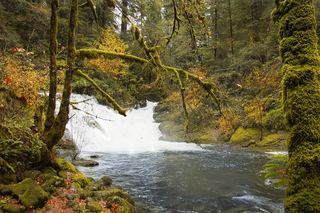 Beaver Creek FallsResearched walking routeLane County, OR3.8 miW
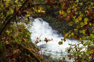 Sweet Creek FallsSource-reviewed route and parkingLane County, OR4.4 miW
- Elk Wallow FallsLane County, OR4.5 miW
- Annice FallsLane County, OR4.6 miW
- Punchbowl Canyon FallsLane County, OR4.6 miW
- Homestead FallsLane County, OR4.6 miW
- Devil's StaircaseDouglas County, OR14 miS