Beaver Creek Falls
Lane County, Oregon
Your visit at a glance
- Waterfall height
- Not recorded
- Location
- Lane County, Oregon
- Access status
- Researched walking route
- The walk
- Distance unknown
- Ground & access
- Trail surface and grade are not described on the current page.
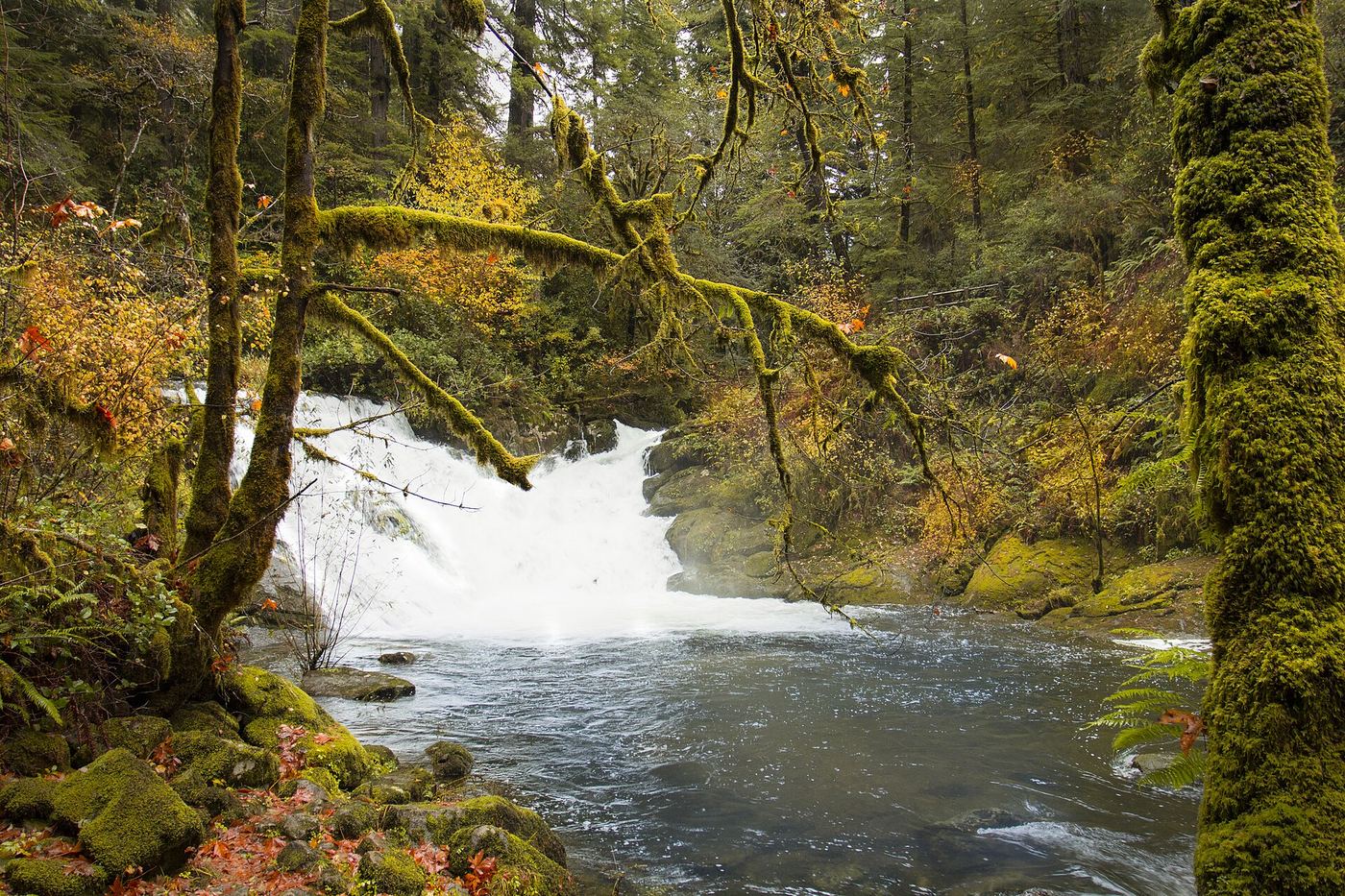
USFS confirms a dedicated parking area and trailhead for the Beaver Creek Falls segment.
Plan your visit
Beaver Creek Falls segment of Sweet Creek Trail 1319
This segment’s length is not provided on the trailhead page; the full Sweet Creek hike is not used as its distance.
Trail surface and grade are not described on the current page.
Where to start
On Sweet Creek Road go 0.2 mile beyond Wagon Road Trailhead, take the first left fork and drive 0.5 mile to parking.
Timing & water
Listed open year-round, 6 a.m.–10 p.m. The separate Homestead boardwalk closure is not assumed to close this trailhead.
Before you go
USFS states no fee.
Visitor informationVisit sources
More waterfalls nearby
Within 40 straight-line miles. Road and trail distances will differ.
 Sweet Creek FallsSource-reviewed route and parkingLane County, OR0.6 miNW
- Elk Wallow FallsLane County, OR0.8 miNW
- Annice FallsLane County, OR1.0 miNW
- Punchbowl Canyon FallsLane County, OR1.0 miNW
- Homestead FallsLane County, OR1.1 miNW
- North Fork FallsForest trail to a viewing deck and creek view documented410 ft (125 m) · Douglas County, OR3.8 miE
- Lower Kentucky FallsForest trail to a viewing deck at the base384 ft (117 m) · Douglas County, OR3.8 miE
- Upper Kentucky FallsForest trail to a viewpoint and the base documented289 ft (88 m) · Douglas County, OR4.5 miE
- Devil's StaircaseDouglas County, OR15 miS