Sweet Creek Falls
Lane County, Oregon
Your visit at a glance
- Waterfall height
- Not recorded
- Location
- Lane County, Oregon
- Access status
- Source-reviewed route and parking
- The walk
- About 0.4 mile each way
- Ground & access
- Damp natural trail, bridges and elevated walkway sections in the wider complex; wet surfaces and mossy rocks can be slippery.
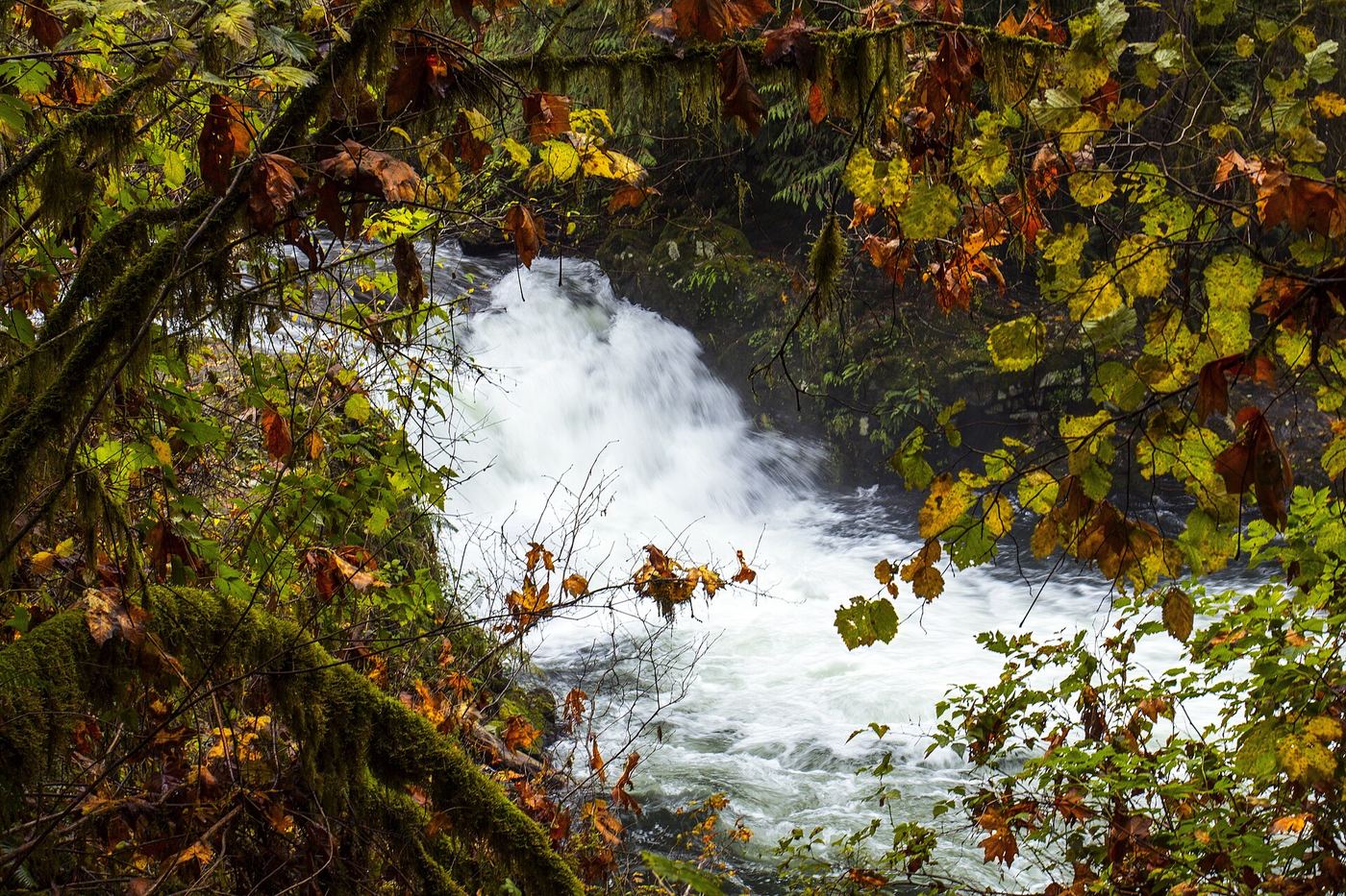
Use the Sweet Creek Falls Trailhead farther south along Sweet Creek Road. Current local tourism pages say Homestead Trailhead and its damaged boardwalk remain closed in 2026. Follow the signed southern approach to the main falls and return without entering the closed section.
Plan your visit
Sweet Creek Falls Trailhead southern approach
About 0.8 mile return is twice the current southern approach. The older 2.2-mile Homestead route is closed.
Damp natural trail, bridges and elevated walkway sections in the wider complex; wet surfaces and mossy rocks can be slippery.
Where to start
Use the second signed trailhead, Sweet Creek Falls, rather than closed Homestead. Travel Lane County confirms parking lots at the trailheads. From Mapleton turn south from Highway 126 onto Sweet Creek Road, continuing toward the falls complex.
Timing & water
USFS order 06-12-10-26-11 closes the 0.9-mile Homestead-to-Sweet Creek Falls Trailhead segment October 26, 2026–March 31, 2027 unless rescinded; southern trailhead access remains described as available.
Before you go
Travel Lane County lists no fee or permit.
Visitor informationVisit sources
More waterfalls nearby
Within 40 straight-line miles. Road and trail distances will differ.
- Elk Wallow FallsLane County, OR0.3 miN
- Annice FallsLane County, OR0.5 miN
- Punchbowl Canyon FallsLane County, OR0.6 miN
 Beaver Creek FallsResearched walking routeLane County, OR0.6 miSE
- Homestead FallsLane County, OR0.7 miN
- North Fork FallsForest trail to a viewing deck and creek view documented410 ft (125 m) · Douglas County, OR4.4 miE
- Lower Kentucky FallsForest trail to a viewing deck at the base384 ft (117 m) · Douglas County, OR4.4 miE
- Upper Kentucky FallsForest trail to a viewpoint and the base documented289 ft (88 m) · Douglas County, OR5.1 miE
- Devil's StaircaseDouglas County, OR15 miS