Upper Kentucky Falls
Douglas County, Oregon
Your visit at a glance
- Waterfall height
- 289 ft (88 m)
- Location
- Douglas County, Oregon
- Access status
- Forest trail to a viewpoint and the base documented
- The walk
- About 0.5 mile to the viewpoint; about a mile to the base
- Ground & access
- Level at first, then a steeper descent with sections blasted into an unguarded cliff. Keep children close.
Upper Kentucky Falls drops 88 to 100 feet in two steps on Kentucky Creek. From the trailhead, cross the road and follow the Kentucky Falls Trail downhill to a viewpoint over the upper drops. The trail then switchbacks down past the falls; at the fourth switchback you can scramble over rocks and downed trees to the base. Return the same way.
Plan your visit
Kentucky Falls Trailhead to the Upper Kentucky Falls viewpoint and base
Oregon Hikers gives 0.5 mile to a viewpoint over the upper drops. The Northwest Waterfall Survey places the base about a mile from the trailhead. Both figures are one way.
Level at first, then a steeper descent with sections blasted into an unguarded cliff. Keep children close.
Where to start
Kentucky Falls Trailhead, reached by long paved and gravel forest roads from Highway 126 near Mapleton or from Reedsport via Road 48 and Road 23. Restrooms and picnic tables at the trailhead.
Timing & water
Oregon Hikers lists the trail as open all year.
Before you go
Oregon Hikers lists no fees at the trailhead.
Visitor informationVisit sources
More waterfalls nearby
Within 40 straight-line miles. Road and trail distances will differ.
- Lower Kentucky FallsForest trail to a viewing deck at the base384 ft (117 m) · Douglas County, OR0.7 miW
- North Fork FallsForest trail to a viewing deck and creek view documented410 ft (125 m) · Douglas County, OR0.8 miW
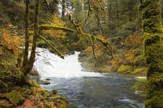 Beaver Creek FallsResearched walking routeLane County, OR4.5 miW
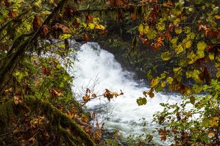 Sweet Creek FallsSource-reviewed route and parkingLane County, OR5.1 miW
- Elk Wallow FallsLane County, OR5.2 miW
- Annice FallsLane County, OR5.3 miW
- Punchbowl Canyon FallsLane County, OR5.3 miW
- Homestead FallsLane County, OR5.3 miW
- Devil's StaircaseDouglas County, OR14 miS