Middle Oneonta Falls
Multnomah County, Oregon
Your visit at a glance
- Waterfall height
- 24 ft (7.3 m)
- Location
- Multnomah County, Oregon
- Access status
- Gorge trail past Ponytail Falls to a footbridge view
- The walk
- 1.2 miles from the Horsetail Falls Trailhead
- Ground & access
- Graded switchbacks, then a level bluff trail with unprotected cliff viewpoints. Poison oak along the trail. Burned slopes from a wildfire.
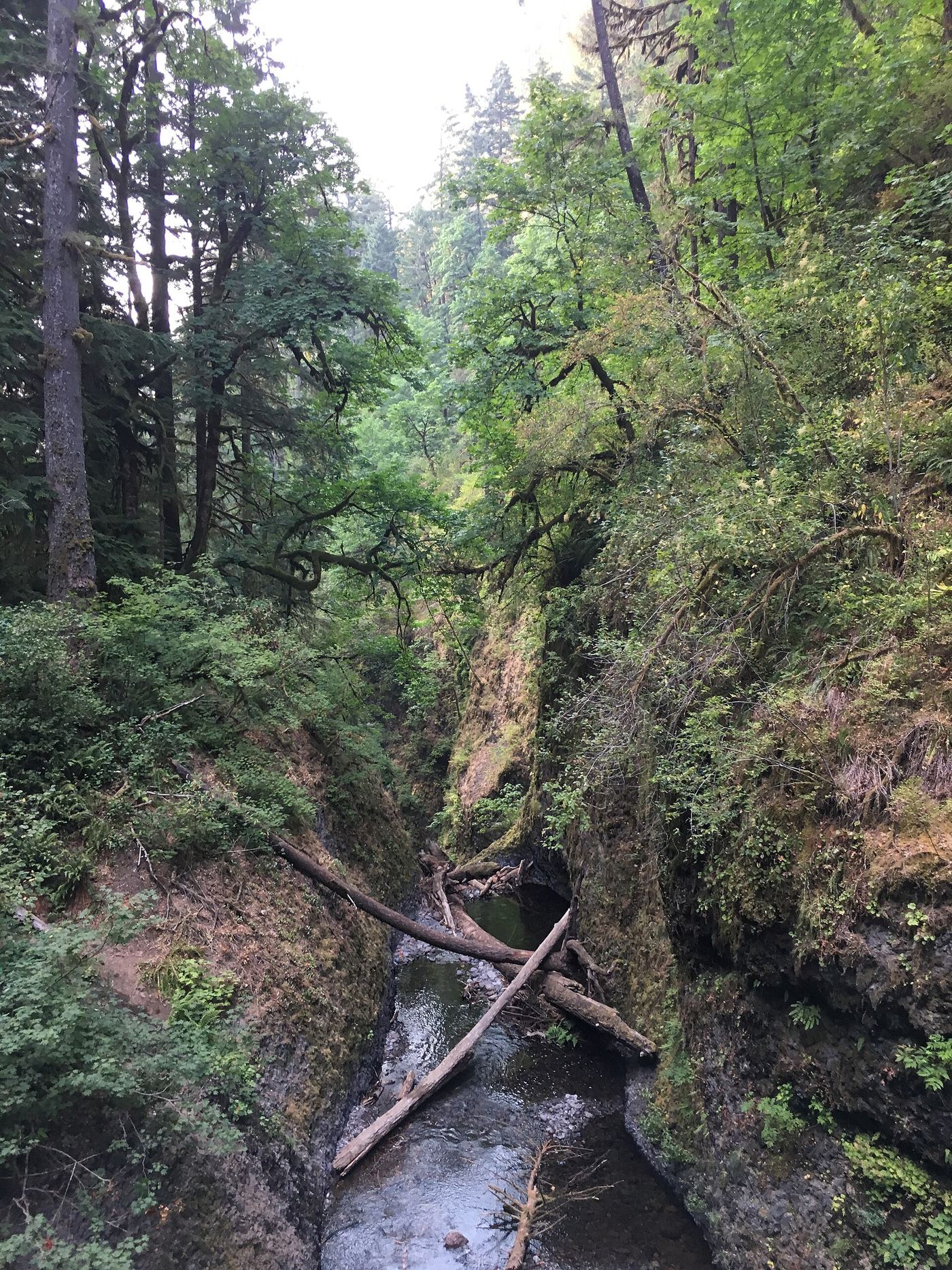
Middle Oneonta Falls is a 24-foot drop on Oneonta Creek right beside the Trail #438 footbridge in the Columbia River Gorge; just below the bridge the creek goes over the brink of Oneonta Falls. From the Horsetail Falls Trailhead, climb Horsetail Falls Trail #438 in switchbacks, pass behind Ponytail Falls, follow the level bluff trail west, and descend into Oneonta Gorge to the metal bridge. Return the same way, or continue up to the Oneonta Trail #424, turn right, walk down to the Historic Highway, and walk back east to the trailhead. Keep away from the unfenced cliff edges on Oneonta Bluff.
Plan your visit
Horsetail Falls Trailhead up Horsetail Falls Trail #438 past Ponytail Falls to the Oneonta Creek footbridge
Oregon Hikers and the Northwest Waterfall Survey both give 1.2 miles on Trail #438 from Horsetail Falls to the bridge over Oneonta Creek. These are one-way figures. The 2.6-mile Horsetail Falls Loop returns by the Oneonta Trail and the Historic Highway.
Graded switchbacks, then a level bluff trail with unprotected cliff viewpoints. Poison oak along the trail. Burned slopes from a wildfire.
Where to start
Horsetail Falls Trailhead on the Historic Columbia River Highway, 1.2 miles west of the I-84 Exit 35 (Ainsworth) junction. Do not leave valuables in the car.
Timing & water
No seasonal closure is mentioned. Winter, with the leaves down, gives the best views of the Oneonta Creek falls from the trail.
Before you go
No fee is mentioned.
Visitor informationVisit sources
- Oregon Hikers Field Guide: Middle Oneonta Falls
- Oregon Hikers Field Guide: Middle Oneonta Falls
- Northwest Waterfall Survey: Middle Oneonta Falls
- Oregon Hikers Field Guide: Horsetail Falls Loop Hike
- Oregon Hikers Field Guide: Horsetail Falls Loop Hike
- Oregon Hikers Field Guide: Horsetail Falls Trailhead
- Oregon Hikers Field Guide: Horsetail Falls Trailhead
More waterfalls nearby
Within 40 straight-line miles. Road and trail distances will differ.
 Oneonta FallsPartial guide: only a partial view of the upper falls from the trail; the gorge route to the base is closed98 ft (30 m) · Multnomah County, OR0.0 miN
 Upper Oneonta FallsPartial guide: only the top of the falls is visible from the trail; no route to the base65 ft (19.8 m) · Multnomah County, OR0.2 miS
 Ponytail FallsResearched visit notes88 ft (26.8 m) · Multnomah County, OR0.3 miNE
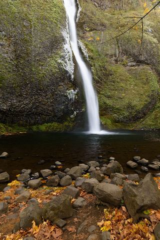 Horsetail FallsResearched walking route214 ft (65.2 m) · Multnomah County, OR0.4 miNE
- Waespe FallsMultnomah County, OR0.4 miW
- Triple FallsParking location unconfirmed64 ft (19.5 m) · Multnomah County, OR0.5 miS
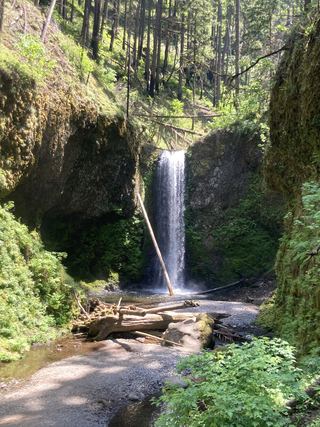 Wiesendanger FallsResearched walking route49 ft (15 m) · Multnomah County, OR1.9 miSW
- Ecola FallsBusy trail from Multnomah Falls Lodge past the top of the falls55 ft (16.7 m) · Multnomah County, OR1.9 miSW
- Dutchman FallsPaved and dirt trail above Multnomah Falls; summer parking permits33 ft (10 m) · Multnomah County, OR1.9 miW