Horsetail Falls
Multnomah County, Oregon
Your visit at a glance
- Waterfall height
- 214 ft (65.2 m)
- Location
- Multnomah County, Oregon
- Access status
- Researched walking route
- The walk
- Roadside waterfall view
- Ground & access
- Roadside trail start; longer trails climb switchbacks.
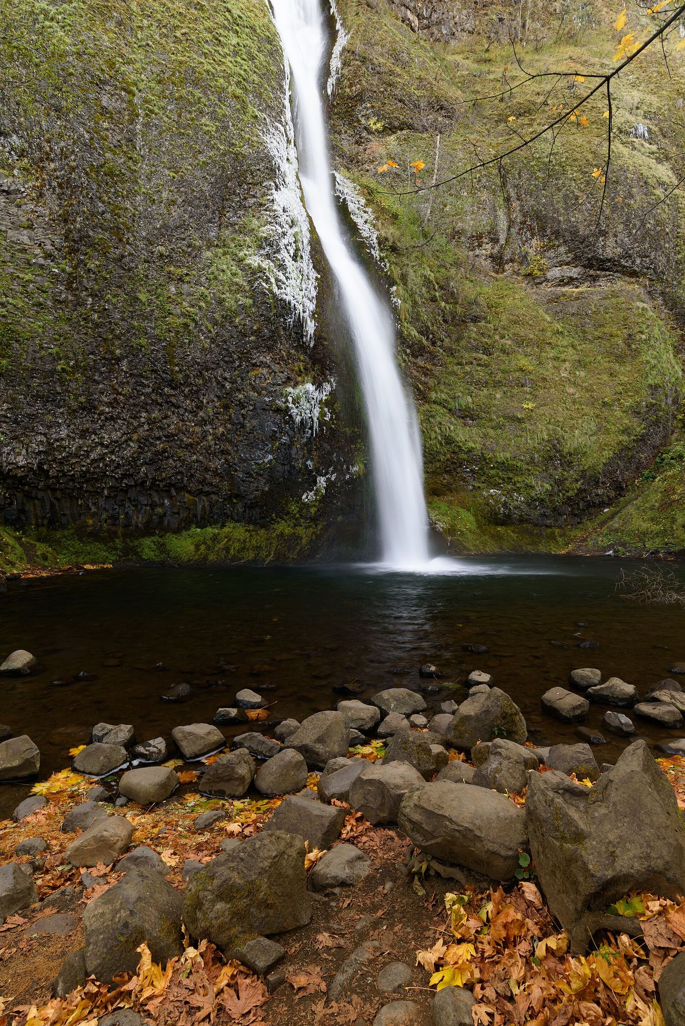
The lower Horsetail Falls is visible at the trail start; Ponytail and Triple Falls are separate destinations farther along the trail.
Plan your visit
Horsetail Falls roadside viewing area
No separate roadside viewpoint distance given. The 3.6-mile outing in this source continues to other falls and is not required here.
Roadside trail start; longer trails climb switchbacks.
Where to start
Historic Columbia River Highway: 5.6 miles east of Bridal Veil exit 28, or 1.6 miles west from I-84 exit 35/Ainsworth.
Timing & water
The organization explicitly does not track closures; current route availability is not confirmed by its guide.
Before you go
Trail organization lists no permit required and leashed dogs.
Visitor informationMore waterfalls nearby
Within 40 straight-line miles. Road and trail distances will differ.
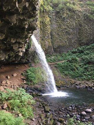 Ponytail FallsResearched visit notes88 ft (26.8 m) · Multnomah County, OR0.1 miS
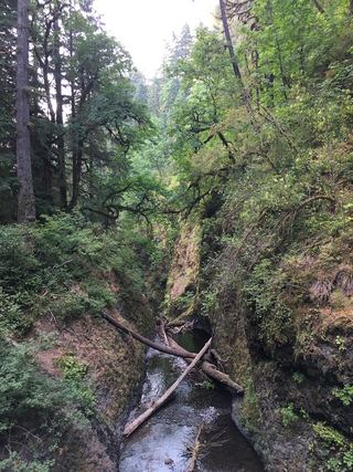 Oneonta FallsPartial guide: only a partial view of the upper falls from the trail; the gorge route to the base is closed98 ft (30 m) · Multnomah County, OR0.3 miSW
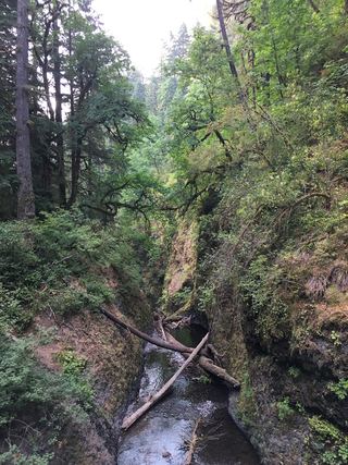 Middle Oneonta FallsGorge trail past Ponytail Falls to a footbridge view24 ft (7.3 m) · Multnomah County, OR0.4 miSW
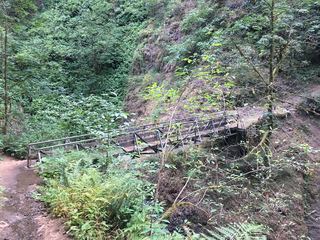 Upper Oneonta FallsPartial guide: only the top of the falls is visible from the trail; no route to the base65 ft (19.8 m) · Multnomah County, OR0.5 miS
- Waespe FallsMultnomah County, OR0.7 miSW
- Triple FallsParking location unconfirmed64 ft (19.5 m) · Multnomah County, OR0.8 miS
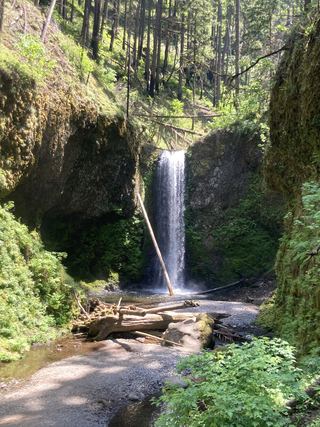 Wiesendanger FallsResearched walking route49 ft (15 m) · Multnomah County, OR2.2 miSW
- Ecola FallsBusy trail from Multnomah Falls Lodge past the top of the falls55 ft (16.7 m) · Multnomah County, OR2.2 miSW
- Dutchman FallsPaved and dirt trail above Multnomah Falls; summer parking permits33 ft (10 m) · Multnomah County, OR2.2 miSW