Wiesendanger Falls
Multnomah County, Oregon
Your visit at a glance
- Waterfall height
- 49 ft (15 m)
- Location
- Multnomah County, Oregon
- Access status
- Researched walking route
- The walk
- Distance not verified
- Ground & access
- Steep switchbacks and creek bridges; stay on the mapped trail.
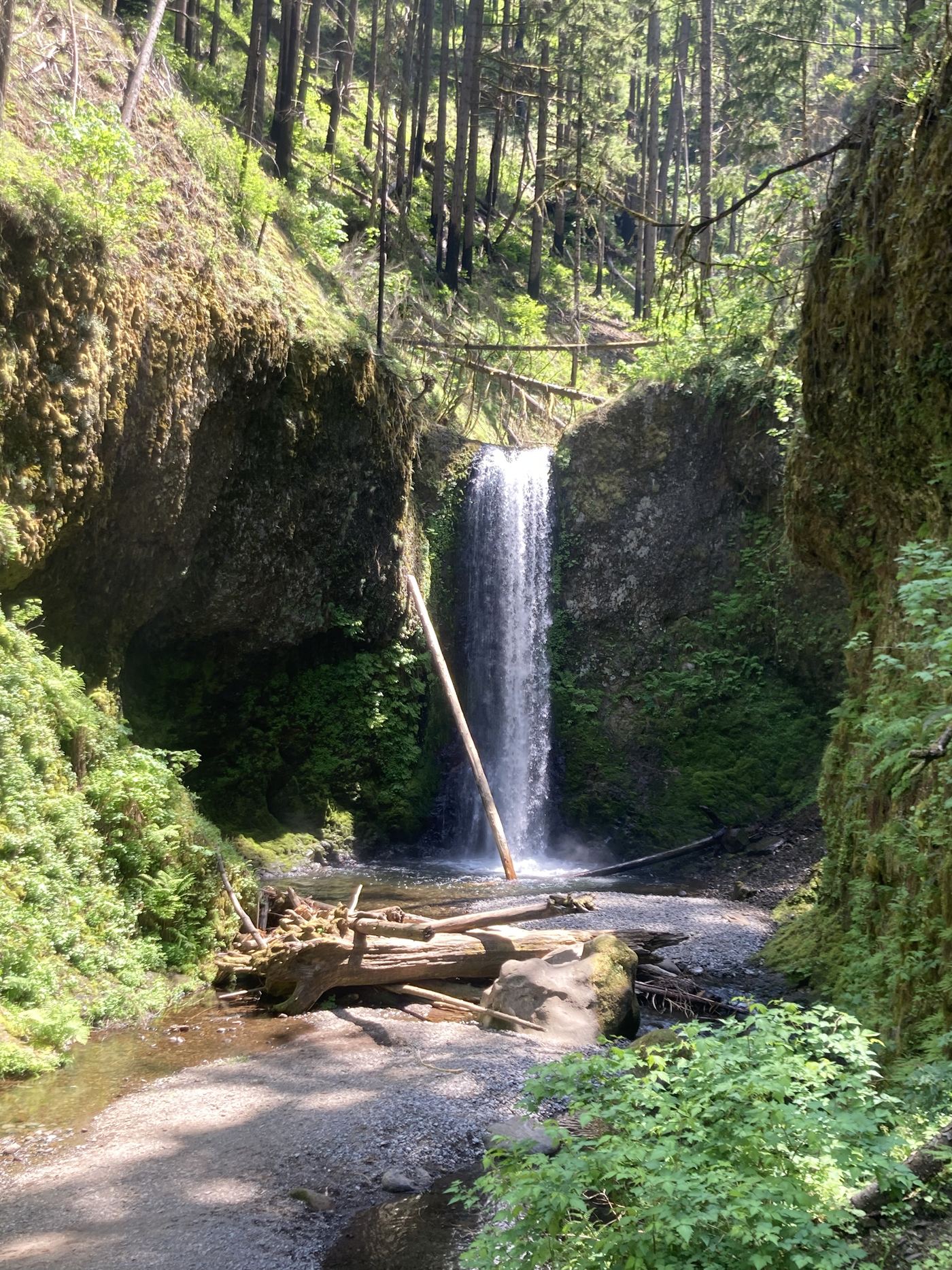
A mapped upstream hike beyond Multnomah Falls.
Plan your visit
From Multnomah Falls Lodge, follow Trail 441 over Benson Bridge and up the switchbacks. Continue across the upstream footbridge and past Dutchman Falls to Wiesendanger Falls; return the same way.
The Friends of Multnomah Falls map explicitly shows this route; its segment labels do not provide an unambiguous distance specifically to Wiesendanger Falls.
Steep switchbacks and creek bridges; stay on the mapped trail.
Where to start
Use the Multnomah Falls lot at I-84 Exit 31 and its pedestrian connection to the lodge. ODOT says Highway 30 parking is very limited and prohibits shoulder parking.
Timing & water
Trail conditions and any trail-specific closure are not verified. Highway 30 construction is underway as checked October 27, 2026.
Before you go
ODOT reports the 2026 Exit 31 summer timed-permit season has ended; 2027 details are not yet posted. The small Highway 30 lot charges separately.
Visitor informationVisit sources
More waterfalls nearby
Within 40 straight-line miles. Road and trail distances will differ.
- Dutchman FallsPaved and dirt trail above Multnomah Falls; summer parking permits33 ft (10 m) · Multnomah County, OR0.1 miNW
- Ecola FallsBusy trail from Multnomah Falls Lodge past the top of the falls55 ft (16.7 m) · Multnomah County, OR0.1 miSE
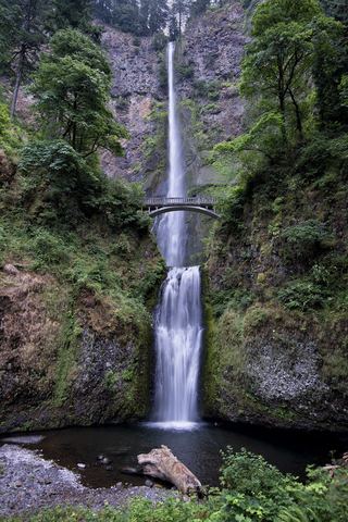 Multnomah FallsResearched visit notes620 ft total · Multnomah County, OR0.3 miW
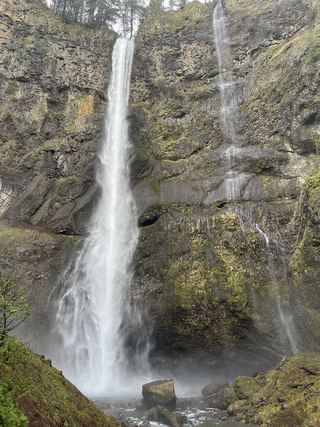 Lower Multnomah FallsPaved viewpoint walk and seasonal permits documented69 ft (21 m) · Multnomah County, OR0.4 miW
- Shady Creek FallsRoadside view from the Multnomah Falls I-84 parking lot177 ft (54 m) · Multnomah County, OR0.5 miW
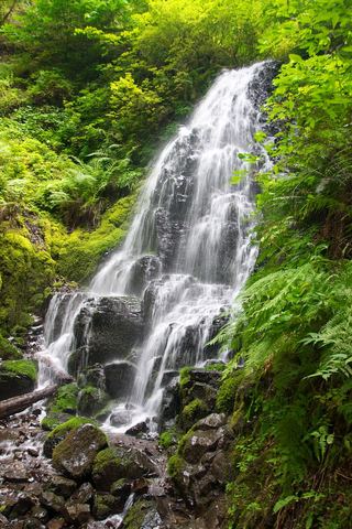 Fairy FallsResearched visit notes20 ft (6.1 m) · Multnomah County, OR0.8 miW
 Wahkeena FallsResearched visit notes242 ft (73.7 m) · Multnomah County, OR0.9 miW
- Mist FallsFull view from Benson State Recreation Area; rough optional scramble to base518 ft (158 m) · Multnomah County, OR1.2 miW
- Dalton FallsPartial guide: distant pond-shore view; identity as the historic Dalton Falls is uncertainMultnomah County, OR1.3 miW