Mist Falls
Multnomah County, Oregon
Your visit at a glance
- Waterfall height
- 518 ft (158 m)
- Location
- Multnomah County, Oregon
- Access status
- Full view from Benson State Recreation Area; rough optional scramble to base
- The walk
- Short walk from the parking area; distance not stated
- Ground & access
- Flat walk on an old road at Benson State Recreation Area. The optional base route is loose scree with no real trail.
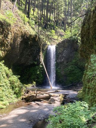
Mist Falls drops about 520 feet in two tiers down the cliffs of the Columbia River Gorge, about a mile west of Multnomah Falls. Its flow is small, and on dry, windy summer days it can blow away as mist. The whole waterfall is best seen from Benson State Recreation Area off I-84: after parking, walk back toward the freeway and follow an old road between the interstate and a large pond to where the entire falls is visible. A very rough scree path also climbs to the base from a small pullout on the Historic Columbia River Highway about a quarter mile west of the Wahkeena Trailhead; from the base only the lower tier shows, and the slope is loose.
Plan your visit
Benson State Recreation Area off I-84 (eastbound access only), walking an old road between the freeway and the pond to the full view
The Northwest Waterfall Survey gives no distance for the walk from Benson State Recreation Area parking to the full view. The rough scramble to the base from the Historic Highway pullout is 0.5 mile round trip by Oregon Hikers.
Flat walk on an old road at Benson State Recreation Area. The optional base route is loose scree with no real trail.
Where to start
Benson State Recreation Area, reached from an I-84 exit one mile west of Multnomah Falls that only eastbound traffic can use. For the base route, a small pullout on the Historic Highway; do not park on the road.
Timing & water
Flows all year, strongest in winter and spring. In freezing weather, large icicles form at the base and can break off.
Before you go
No fee is mentioned.
Visitor informationVisit sources
- Northwest Waterfall Survey: Mist Falls
- Northwest Waterfall Survey: Mist Falls
- Oregon Hikers Field Guide: Mist Falls
- Oregon Hikers Field Guide: Mist Falls
- Oregon Hikers Field Guide: Mist Falls Hike
- Oregon Hikers Field Guide: Mist Falls Hike
- Oregon Hikers Field Guide: Mist Falls Hike
- Oregon Hikers Field Guide: Mist Falls Trailhead
More waterfalls nearby
Within 40 straight-line miles. Road and trail distances will differ.
- Dalton FallsPartial guide: distant pond-shore view; identity as the historic Dalton Falls is uncertainMultnomah County, OR0.2 miW
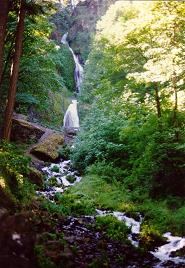 Wahkeena FallsResearched visit notes242 ft (73.7 m) · Multnomah County, OR0.2 miE
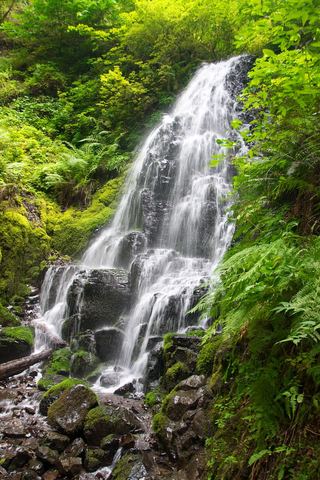 Fairy FallsResearched visit notes20 ft (6.1 m) · Multnomah County, OR0.5 miSE
- Shady Creek FallsRoadside view from the Multnomah Falls I-84 parking lot177 ft (54 m) · Multnomah County, OR0.7 miE
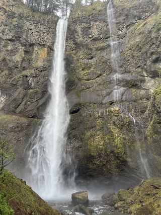 Lower Multnomah FallsPaved viewpoint walk and seasonal permits documented69 ft (21 m) · Multnomah County, OR0.8 miE
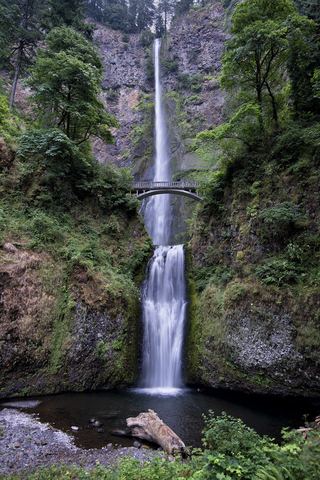 Multnomah FallsResearched visit notes620 ft total · Multnomah County, OR0.9 miE
- Foxglove FallsMultnomah County, OR1.0 miSW
- Dutchman FallsPaved and dirt trail above Multnomah Falls; summer parking permits33 ft (10 m) · Multnomah County, OR1.1 miE
 Wiesendanger FallsResearched walking route49 ft (15 m) · Multnomah County, OR1.2 miE