Shady Creek Falls
Multnomah County, Oregon
Your visit at a glance
- Waterfall height
- 177 ft (54 m)
- Location
- Multnomah County, Oregon
- Access status
- Roadside view from the Multnomah Falls I-84 parking lot
- The walk
- Viewed from the parking lot; no walk needed
- Ground & access
- Paved parking lot and underpass path.
Shady Creek Falls is next to Multnomah Falls, on the small creek that the paved path crosses on the way to Multnomah Falls. It cannot be seen from the trails beside Multnomah Falls and is hidden by trees from south of the railroad tracks. The clearest view is from the Multnomah Falls parking lot between the lanes of I-84 (Exit 31). Visitors arriving on the Historic Columbia River Highway can walk through the underpass beneath the railroad and freeway into the rest area. Do not climb to the falls; the creek appears to supply water to Multnomah Falls Lodge.
Plan your visit
Multnomah Falls parking lot off I-84 Exit 31, view of Shady Creek Falls from the rest-area lot
Northwest Waterfall Survey says the falls are seen from the Multnomah Falls rest area parking lot between the lanes of I-84. No walking distance applies.
Paved parking lot and underpass path.
Where to start
Free parking area off I-84 Exit 31. When the lot is full, the entrance closes automatically. Timed-use permits are required for this lot in summer.
Timing & water
USFS lists Multnomah Falls as open year-round, day use only.
Before you go
USFS requires timed reservations to visit Multnomah Falls from late May through early September, 9 a.m. to 6 p.m.; online permits carry a $2 transaction fee, and a limited number of free permits are available in Troutdale and Cascade Locks.
Visitor informationVisit sources
More waterfalls nearby
Within 40 straight-line miles. Road and trail distances will differ.
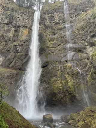 Lower Multnomah FallsPaved viewpoint walk and seasonal permits documented69 ft (21 m) · Multnomah County, OR0.1 miNE
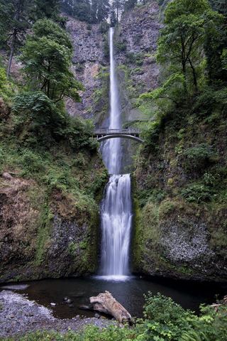 Multnomah FallsResearched visit notes620 ft total · Multnomah County, OR0.1 miE
- Dutchman FallsPaved and dirt trail above Multnomah Falls; summer parking permits33 ft (10 m) · Multnomah County, OR0.4 miE
 Wahkeena FallsResearched visit notes242 ft (73.7 m) · Multnomah County, OR0.5 miW
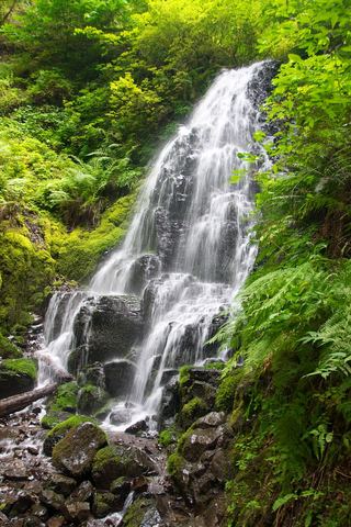 Fairy FallsResearched visit notes20 ft (6.1 m) · Multnomah County, OR0.5 miSW
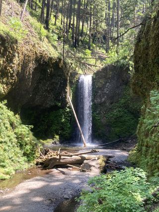 Wiesendanger FallsResearched walking route49 ft (15 m) · Multnomah County, OR0.5 miE
- Ecola FallsBusy trail from Multnomah Falls Lodge past the top of the falls55 ft (16.7 m) · Multnomah County, OR0.5 miE
- Mist FallsFull view from Benson State Recreation Area; rough optional scramble to base518 ft (158 m) · Multnomah County, OR0.7 miW
- Dalton FallsPartial guide: distant pond-shore view; identity as the historic Dalton Falls is uncertainMultnomah County, OR0.9 miW