Ecola Falls
Multnomah County, Oregon
Your visit at a glance
- Waterfall height
- 55 ft (16.7 m)
- Location
- Multnomah County, Oregon
- Access status
- Busy trail from Multnomah Falls Lodge past the top of the falls
- The walk
- About 1.6 miles one way per the Northwest Waterfall Survey; Oregon Hikers gives a longer figure
- Ground & access
- Steep paved switchbacks to the top of Multnomah Falls, then rocky trail beside the creek. Steep drop-offs. Very crowded for the first mile and a half.
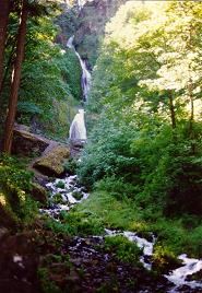
Ecola Falls is a 55-foot falls on Multnomah Creek, the last major falls on the Larch Mountain Trail. From the Multnomah Falls Lodge, follow the paved Larch Mountain Trail #441 over the Benson Bridge and up 11 switchbacks to the ridge crest. Continue upstream beside Multnomah Creek past Dutchman Falls, through the Dutchman Tunnel and past Wiesendanger Falls. After four switchbacks above Wiesendanger Falls, the trail passes the lip of Ecola Falls and looks down on its plunge pool. A scramble to the base is very steep and crumbly and is not recommended. Return the same way.
Plan your visit
Multnomah Falls Lodge, up the Larch Mountain Trail #441 past the top of Multnomah Falls and Wiesendanger Falls to the point where the trail passes the top of Ecola Falls
The Northwest Waterfall Survey places Ecola Falls approximately 1.6 miles up the Larch Mountain Trail from the Multnomah Falls Lodge. Oregon Hikers lists Ecola Falls as 3.1 miles on foot from the Multnomah Falls Trailhead. The two figures differ.
Steep paved switchbacks to the top of Multnomah Falls, then rocky trail beside the creek. Steep drop-offs. Very crowded for the first mile and a half.
Where to start
Free Forest Service parking lot at I-84 Exit 31, reachable from both directions, with a walkway under the freeway to the lodge. Privately operated paid parking is in front of the lodge on the Historic Highway.
Timing & water
Year-round; Oregon Hikers notes occasional snow and ice in winter.
Before you go
The Forest Service requires a timed-use reservation to visit Multnomah Falls from late May through early September, 9:00 am to 6:00 pm daily, with a $2.00 transaction fee online.
Visitor informationVisit sources
More waterfalls nearby
Within 40 straight-line miles. Road and trail distances will differ.
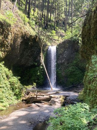 Wiesendanger FallsResearched walking route49 ft (15 m) · Multnomah County, OR0.1 miNW
- Dutchman FallsPaved and dirt trail above Multnomah Falls; summer parking permits33 ft (10 m) · Multnomah County, OR0.2 miNW
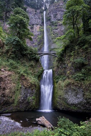 Multnomah FallsResearched visit notes620 ft total · Multnomah County, OR0.4 miNW
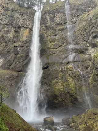 Lower Multnomah FallsPaved viewpoint walk and seasonal permits documented69 ft (21 m) · Multnomah County, OR0.5 miNW
- Shady Creek FallsRoadside view from the Multnomah Falls I-84 parking lot177 ft (54 m) · Multnomah County, OR0.5 miW
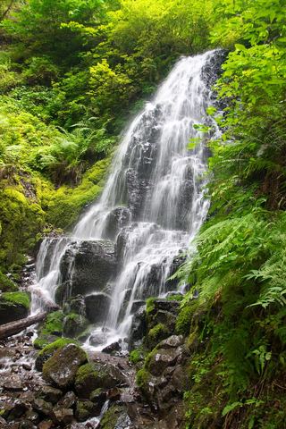 Fairy FallsResearched visit notes20 ft (6.1 m) · Multnomah County, OR0.9 miW
 Wahkeena FallsResearched visit notes242 ft (73.7 m) · Multnomah County, OR1.0 miW
- Mist FallsFull view from Benson State Recreation Area; rough optional scramble to base518 ft (158 m) · Multnomah County, OR1.2 miW
- Dalton FallsPartial guide: distant pond-shore view; identity as the historic Dalton Falls is uncertainMultnomah County, OR1.4 miW