Dutchman Falls
Multnomah County, Oregon
Your visit at a glance
- Waterfall height
- 33 ft (10 m)
- Location
- Multnomah County, Oregon
- Access status
- Paved and dirt trail above Multnomah Falls; summer parking permits
- The walk
- About 1.2 miles up the trail from the lodge
- Ground & access
- Paved switchbacks climb steeply for about a mile, then a rockier creekside trail. Steep drop-offs and burned slopes along the switchbacks.
Dutchman Falls is a group of three small falls, each 10 to 15 feet, on Multnomah Creek above Multnomah Falls in the Columbia River Gorge. From Multnomah Falls Lodge, take the paved Larch Mountain Trail across the Benson Bridge and up 11 switchbacks to the ridge crest. Pass the side trail to the upper viewpoint and follow Multnomah Creek upstream. The first of the three falls is about 300 feet past the second bridge over the creek, and the other two follow within another 300 feet, just below Dutchman Tunnel. Return the same way, or continue on the Multnomah-Wahkeena Loop.
Plan your visit
Multnomah Falls Lodge up the Larch Mountain Trail past the top of Multnomah Falls to Dutchman Falls
The Northwest Waterfall Survey places Dutchman Falls approximately 1.2 miles up the Larch Mountain Trail from Multnomah Falls Lodge. It is a one-way figure.
Paved switchbacks climb steeply for about a mile, then a rockier creekside trail. Steep drop-offs and burned slopes along the switchbacks.
Where to start
Multnomah Falls parking at I-84 Exit 31, reachable from both directions (walk under the footbridge to the lodge), or the lodge parking area on the Historic Columbia River Highway.
Timing & water
No seasonal closure is mentioned. Expect crowds near the lodge.
Before you go
Between Memorial Day and Labor Day weekends, the I-84 Exit 31 lot needs reserved tickets from Recreation.gov. The lodge lot needs a $2 timed use permit from 9 a.m. to 6 p.m. in that season, plus a separate parking fee charged by the lot concessionaire.
Visitor informationVisit sources
- Northwest Waterfall Survey: Dutchman Falls
- Northwest Waterfall Survey: Dutchman Falls
- Oregon Hikers Field Guide: Multnomah-Wahkeena Loop Hike
- Oregon Hikers Field Guide: Multnomah-Wahkeena Loop Hike
- Oregon Hikers Field Guide: Multnomah Falls Trailhead
- Oregon Hikers Field Guide: Multnomah Falls Trailhead
- Oregon Hikers Field Guide: Multnomah Falls Trailhead
More waterfalls nearby
Within 40 straight-line miles. Road and trail distances will differ.
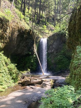 Wiesendanger FallsResearched walking route49 ft (15 m) · Multnomah County, OR0.1 miSE
- Ecola FallsBusy trail from Multnomah Falls Lodge past the top of the falls55 ft (16.7 m) · Multnomah County, OR0.2 miSE
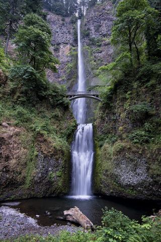 Multnomah FallsResearched visit notes620 ft total · Multnomah County, OR0.3 miW
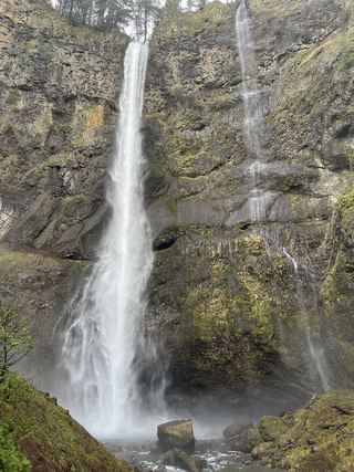 Lower Multnomah FallsPaved viewpoint walk and seasonal permits documented69 ft (21 m) · Multnomah County, OR0.3 miW
- Shady Creek FallsRoadside view from the Multnomah Falls I-84 parking lot177 ft (54 m) · Multnomah County, OR0.4 miW
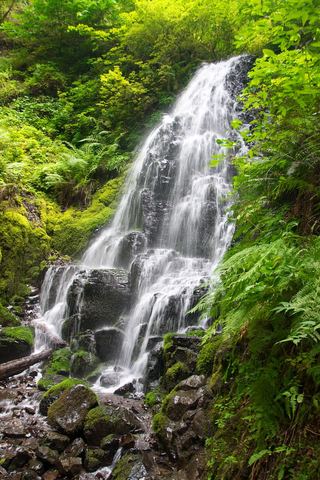 Fairy FallsResearched visit notes20 ft (6.1 m) · Multnomah County, OR0.8 miSW
 Wahkeena FallsResearched visit notes242 ft (73.7 m) · Multnomah County, OR0.9 miW
- Mist FallsFull view from Benson State Recreation Area; rough optional scramble to base518 ft (158 m) · Multnomah County, OR1.1 miW
- Dalton FallsPartial guide: distant pond-shore view; identity as the historic Dalton Falls is uncertainMultnomah County, OR1.3 miW