Multnomah Falls
Multnomah County, Oregon
Your visit at a glance
- Waterfall height
- 620 ft total
- Location
- Multnomah County, Oregon
- The walk
- ¼-mile hike to the bridge
- Ground & access
- Paved trail. The walk continues uphill beyond the bridge.
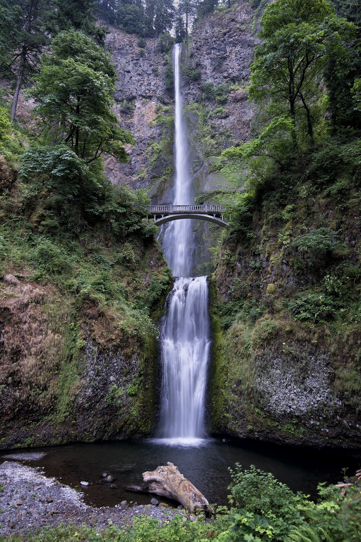
See both waterfall drops from below, or follow the paved trail up to Benson Bridge. The hike to the top is a separate, longer outing.
Plan your visit
Benson Bridge
The visitor page does not specify whether this distance includes the return walk.
Paved trail. The walk continues uphill beyond the bridge.
Where to start
Use the I-84 Exit 31 visitor lot or the small paid lot on the Historic Columbia River Highway. Check the access rules for your chosen lot.
Timing & water
Check current trail notices before setting out.
Before you go
Seasonal timed-entry rules apply to the I-84 approach. A reservation does not guarantee a parking space. Check the permit page before a summer visit.
Visitor informationMore waterfalls nearby
Within 40 straight-line miles. Road and trail distances will differ.
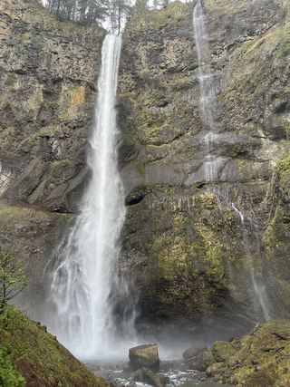 Lower Multnomah FallsPaved viewpoint walk and seasonal permits documented69 ft (21 m) · Multnomah County, OR0.1 miNW
- Shady Creek FallsRoadside view from the Multnomah Falls I-84 parking lot177 ft (54 m) · Multnomah County, OR0.1 miW
- Dutchman FallsPaved and dirt trail above Multnomah Falls; summer parking permits33 ft (10 m) · Multnomah County, OR0.3 miE
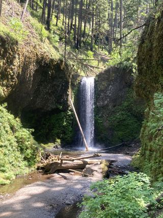 Wiesendanger FallsResearched walking route49 ft (15 m) · Multnomah County, OR0.3 miE
- Ecola FallsBusy trail from Multnomah Falls Lodge past the top of the falls55 ft (16.7 m) · Multnomah County, OR0.4 miSE
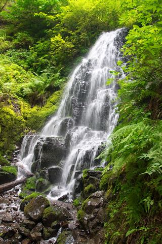 Fairy FallsResearched visit notes20 ft (6.1 m) · Multnomah County, OR0.6 miSW
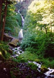 Wahkeena FallsResearched visit notes242 ft (73.7 m) · Multnomah County, OR0.6 miW
- Mist FallsFull view from Benson State Recreation Area; rough optional scramble to base518 ft (158 m) · Multnomah County, OR0.9 miW
- Dalton FallsPartial guide: distant pond-shore view; identity as the historic Dalton Falls is uncertainMultnomah County, OR1.0 miW