Oneonta Falls
Multnomah County, Oregon
Your visit at a glance
- Waterfall height
- 98 ft (30 m)
- Location
- Multnomah County, Oregon
- Access status
- Partial guide: only a partial view of the upper falls from the trail; the gorge route to the base is closed
- The walk
- Distance to the viewpoint is not published; the full Horsetail Falls Loop is 2.6 miles
- Ground & access
- Switchbacks with grades up to 34 percent; unprotected cliff viewpoints on Oneonta Bluff. Poison oak.
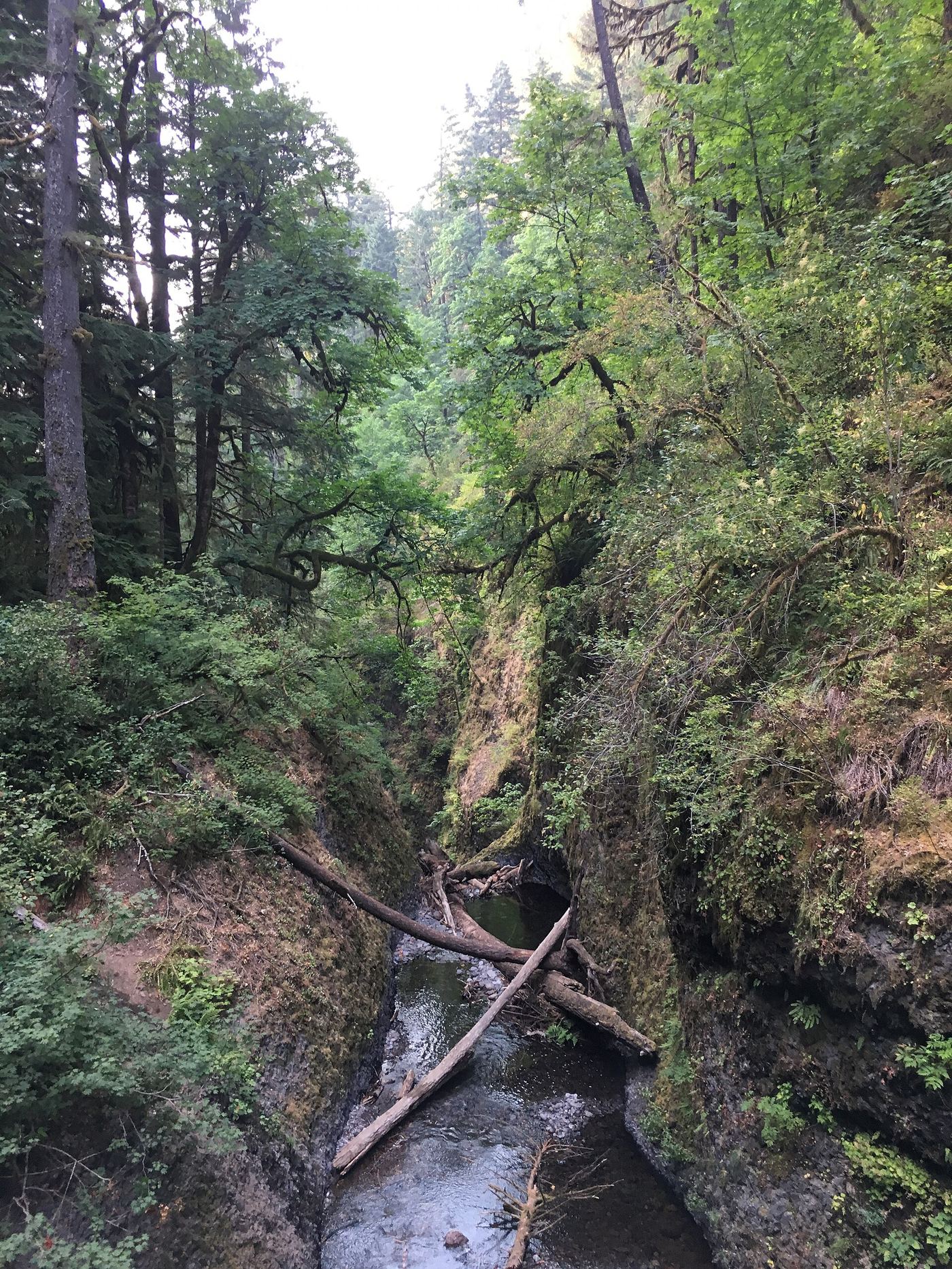
Oneonta Falls drops about 100 to 120 feet at the head of Oneonta Gorge. The route that wades up the creek through the gorge is closed indefinitely because of hazards left by the Eagle Creek Fire, and this guide does not use it. The fire cleared brush on the gorge rim, and the upper third of the falls can now be seen from the Horsetail Falls Trail #438. From the Horsetail Falls Trailhead, climb the switchbacks, pass behind Ponytail Falls, and follow the bluff west into the Oneonta valley; Oregon Hikers notes views up the valley to parts of the lower falls on Oneonta Creek, especially in winter. The trail then descends to a bridge over Oneonta Creek just above the lip of the falls. Return the same way, or finish the loop on the Oneonta Trail and the Historic Highway.
Plan your visit
Horsetail Falls Trailhead, Horsetail Falls Trail #438 past Ponytail Falls toward Oneonta Creek, with a partial view of the falls from the trail
No source gives a distance to the viewpoint. The Northwest Waterfall Survey says the upper third of the falls can be seen from the Horsetail Falls Trail about one quarter of a mile east of where it crosses Oneonta Creek. Oregon Hikers gives 2.6 miles for the full Horsetail Falls Loop.
Switchbacks with grades up to 34 percent; unprotected cliff viewpoints on Oneonta Bluff. Poison oak.
Where to start
Horsetail Falls Trailhead parking on the Historic Columbia River Highway, 1.2 miles west of the Ainsworth State Park turn from I-84 Exit 35. Oregon Hikers warns of car break-ins.
Timing & water
Oregon Hikers lists the loop as all year, except during winter storms. Views up the valley are best in winter.
Before you go
No fee is mentioned.
Visitor informationVisit sources
More waterfalls nearby
Within 40 straight-line miles. Road and trail distances will differ.
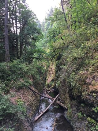 Middle Oneonta FallsGorge trail past Ponytail Falls to a footbridge view24 ft (7.3 m) · Multnomah County, OR0.0 miS
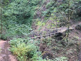 Upper Oneonta FallsPartial guide: only the top of the falls is visible from the trail; no route to the base65 ft (19.8 m) · Multnomah County, OR0.2 miS
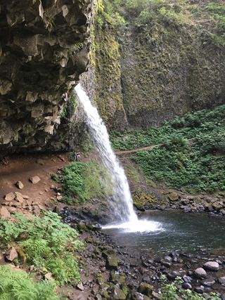 Ponytail FallsResearched visit notes88 ft (26.8 m) · Multnomah County, OR0.3 miNE
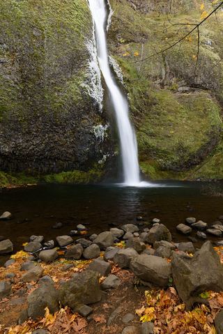 Horsetail FallsResearched walking route214 ft (65.2 m) · Multnomah County, OR0.3 miNE
- Waespe FallsMultnomah County, OR0.4 miW
- Triple FallsParking location unconfirmed64 ft (19.5 m) · Multnomah County, OR0.5 miS
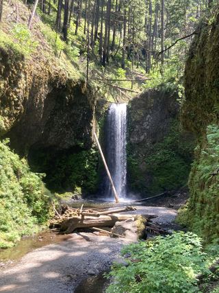 Wiesendanger FallsResearched walking route49 ft (15 m) · Multnomah County, OR1.9 miSW
- Ecola FallsBusy trail from Multnomah Falls Lodge past the top of the falls55 ft (16.7 m) · Multnomah County, OR1.9 miSW
- Dutchman FallsPaved and dirt trail above Multnomah Falls; summer parking permits33 ft (10 m) · Multnomah County, OR1.9 miW