Ponytail Falls
Multnomah County, Oregon
Your visit at a glance
- Waterfall height
- 88 ft (26.8 m)
- Location
- Multnomah County, Oregon
- The walk
- Short, steep hike
- Ground & access
- Steep trail and cliffs beneath a basalt overhang. Accessible parking at the lower falls does not make this hike accessible.
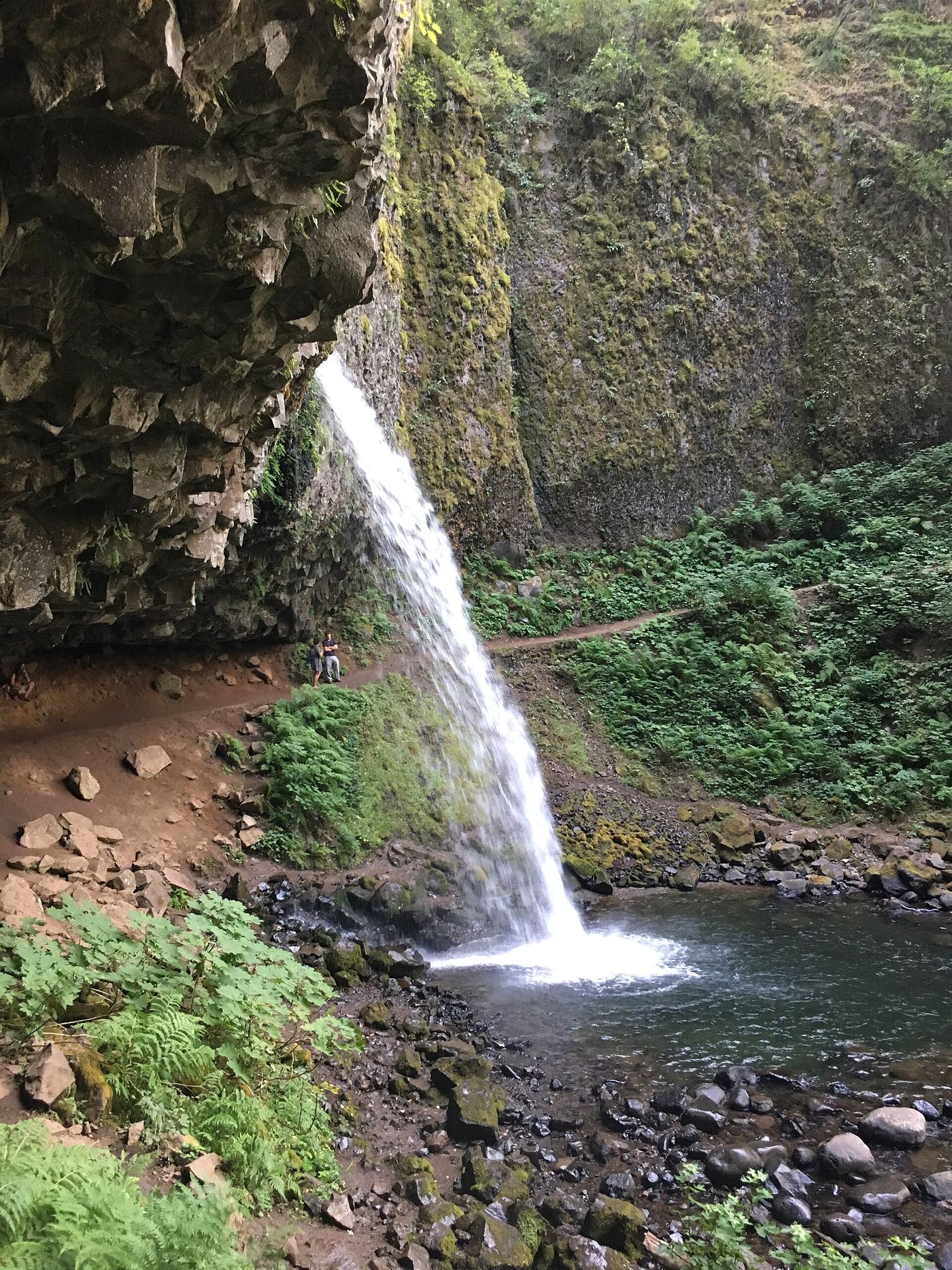
From lower Horsetail Falls, climb the trail to Ponytail Falls, also called Upper Horsetail Falls, where the path passes behind the waterfall.
Plan your visit
Horsetail Falls Trail #438 to Upper Horsetail Falls
The current official pages describe a short hike but do not give a measured distance to Ponytail Falls.
Steep trail and cliffs beneath a basalt overhang. Accessible parking at the lower falls does not make this hike accessible.
Where to start
Park in the Horsetail Falls lot north of the Historic Columbia River Highway and cross to the lower falls trailhead.
Timing & water
Day use sunrise to sunset. Check current Gorge alerts and trail conditions.
Before you go
No site fee is listed.
Visitor informationVisit sources
More waterfalls nearby
Within 40 straight-line miles. Road and trail distances will differ.
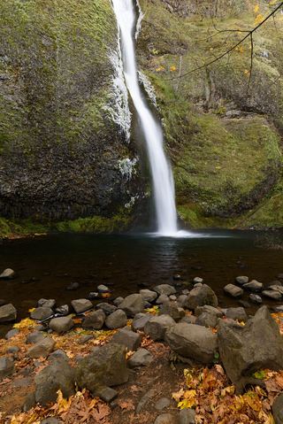 Horsetail FallsResearched walking route214 ft (65.2 m) · Multnomah County, OR0.1 miN
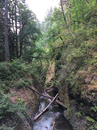 Oneonta FallsPartial guide: only a partial view of the upper falls from the trail; the gorge route to the base is closed98 ft (30 m) · Multnomah County, OR0.3 miSW
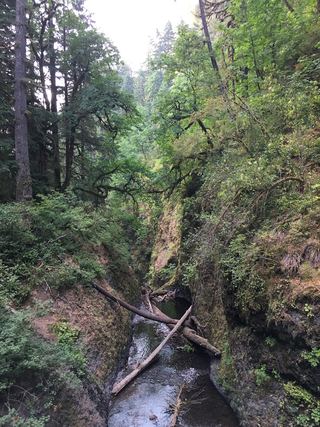 Middle Oneonta FallsGorge trail past Ponytail Falls to a footbridge view24 ft (7.3 m) · Multnomah County, OR0.3 miSW
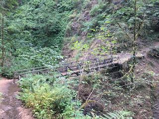 Upper Oneonta FallsPartial guide: only the top of the falls is visible from the trail; no route to the base65 ft (19.8 m) · Multnomah County, OR0.5 miSW
- Waespe FallsMultnomah County, OR0.7 miW
- Triple FallsParking location unconfirmed64 ft (19.5 m) · Multnomah County, OR0.7 miS
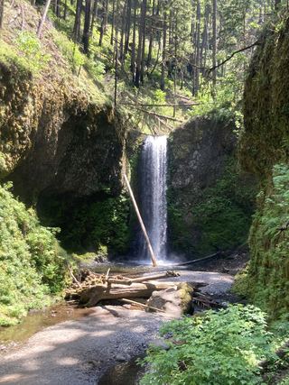 Wiesendanger FallsResearched walking route49 ft (15 m) · Multnomah County, OR2.2 miSW
- Ecola FallsBusy trail from Multnomah Falls Lodge past the top of the falls55 ft (16.7 m) · Multnomah County, OR2.2 miSW
- Dutchman FallsPaved and dirt trail above Multnomah Falls; summer parking permits33 ft (10 m) · Multnomah County, OR2.2 miSW