Coopey Falls
Multnomah County, Oregon
Your visit at a glance
- Waterfall height
- 150 ft (45.7 m)
- Location
- Multnomah County, Oregon
- Access status
- Trail viewpoint above the falls; the base is on private convent land
- The walk
- About 0.4 miles one way, per Oregon Hikers
- Ground & access
- Steady climb on a forest trail with an open talus slope. Clifftop viewpoint with drop-offs. Poison oak. Muddy and slick in the wet season.
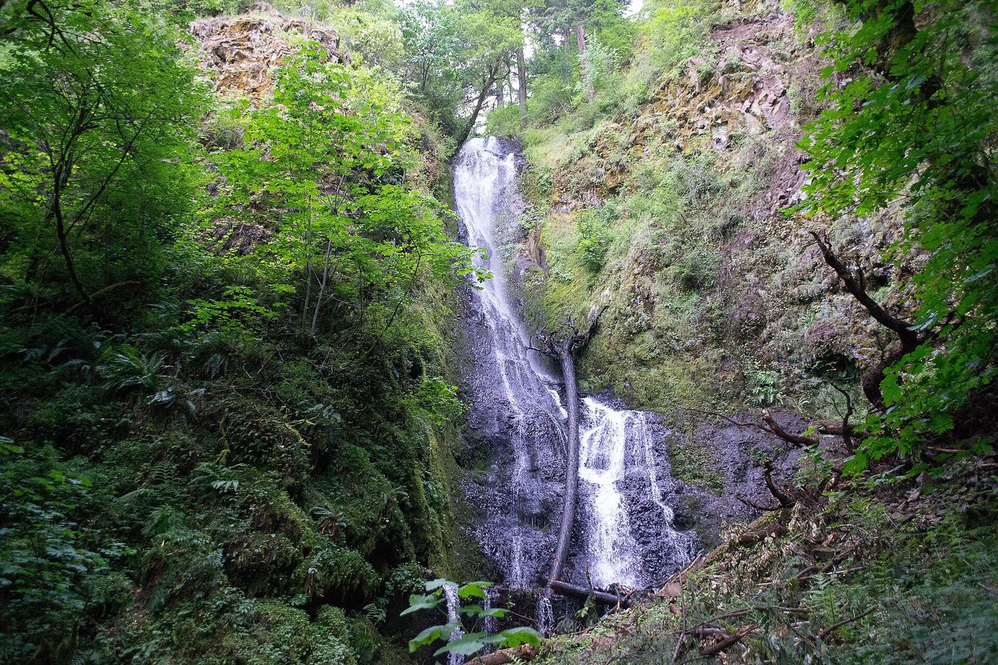
Coopey Falls is a 150-foot horsetail falls on Coopey Creek. From the Angels Rest Trailhead, climb the Angels Rest Trail through forest and across an open talus slope. A clifftop viewpoint on a short diversion to the left looks down on the falls. A spur just past this open area leads down to the top of the falls, with a view up Coopey Creek. The base of the falls is on land owned by the Franciscan Sisters of the Eucharist, a convent, and is private property; this guide covers only the trail view. Return the same way.
Plan your visit
Angels Rest Trailhead, up the Angels Rest Trail to the viewpoint above Coopey Falls
Oregon Hikers places Coopey Falls 0.4 miles on foot from the Angels Rest Trailhead. The view is from above, at the first obvious stopping point on the trail.
Steady climb on a forest trail with an open talus slope. Clifftop viewpoint with drop-offs. Poison oak. Muddy and slick in the wet season.
Where to start
Angels Rest Trailhead at I-84 Exit 28 (Bridal Veil), with a second parking area a little farther west on the Historic Columbia River Highway. Parking fills quickly; park only in designated spots.
Timing & water
Day use only, 6 a.m. to 10 p.m., per Oregon Hikers, which advises against hiking the trail in icy, windy or very wet conditions.
Before you go
Oregon State Parks: a day-use parking permit is required at the Angels Rest Trailhead, and a 1-day permit can be bought on site.
Visitor informationVisit sources
More waterfalls nearby
Within 40 straight-line miles. Road and trail distances will differ.
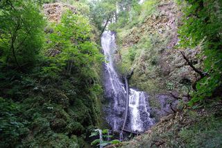 Upper Coopey FallsShort climb on the Angels Rest Trail and side path to the baseMultnomah County, OR0.1 miSE
- Foxglove FallsMultnomah County, OR0.7 miE
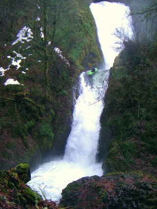 Bridal Veil FallsResearched visit notes118 ft (36 m) · Multnomah County, OR0.9 miSW
- Upper Bridal Veil Falls80 ft (24.4 m) · Multnomah County, OR1.2 miS
- Dalton FallsPartial guide: distant pond-shore view; identity as the historic Dalton Falls is uncertainMultnomah County, OR1.6 miNE
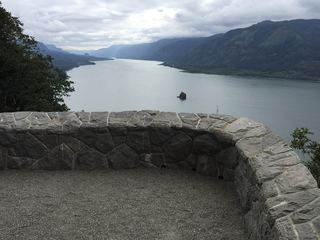 Cape Horn FallsGuide: Gorge loop to a bridge in front of the falls; seasonal falcon closure597 ft (182 m) · Skamania County, WA1.7 miW
- Mist FallsFull view from Benson State Recreation Area; rough optional scramble to base518 ft (158 m) · Multnomah County, OR1.7 miNE
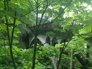 Shepperd's Dell FallsShort paved path from a roadside pullout82 ft (25 m) · Multnomah County, OR1.9 miSW
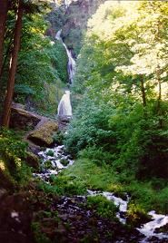 Wahkeena FallsResearched visit notes242 ft (73.7 m) · Multnomah County, OR2.0 miNE